Whakaari Conservation Area may be a relatively new reserve, but it’s an area with plenty of history. It was a hub of scheelite mining (calcium tungstate), that was used, especially during war time, to harden steel for armaments.
The area, near Glenorchy, was of key importance during the early 1800s through to the 1900s and many miners lived here, braving the harsh mountain conditions.
There are several old huts and mining relics around the area, including tracks that were cut for access to mines around the mountain sides.
Mt Alaska (1965m) is accessible via an old trail from Mt Judah Road. It’s a good day out, with plenty of vertical rise, a changing horizon and the chance to explore the remains of mining equipment to break up the journey.
The Judah Track leads to Mt Judah Road, a road in name only as it is just a farm track and no vehicles are allowed. This rises easily above Buckler Burn and around Mt Judah, eventually meeting Bonnie Jean Creek – a place to get water and refresh on a hot day.
Just above the creek, on the east side, is Jean Hut, an historic structure built from hand-flattened 44-gallon drums. The roof is held down by hung stones. It certainly is a unique building.
The trail winds its way up a steep grassy hill via a series of relentless switchbacks to the wee three-bunk Heather Jock Hut.
It’s a small hut to say the least, but cosy and has a water tank.
From here, continue to the ridge that runs directly down from Mt Alaska. At around 1430m there is a saddle where the old mining trail cuts through and continues towards Mt Larkins. This is a spectacular viewpoint, but there’s still a way to go to reach the summit.
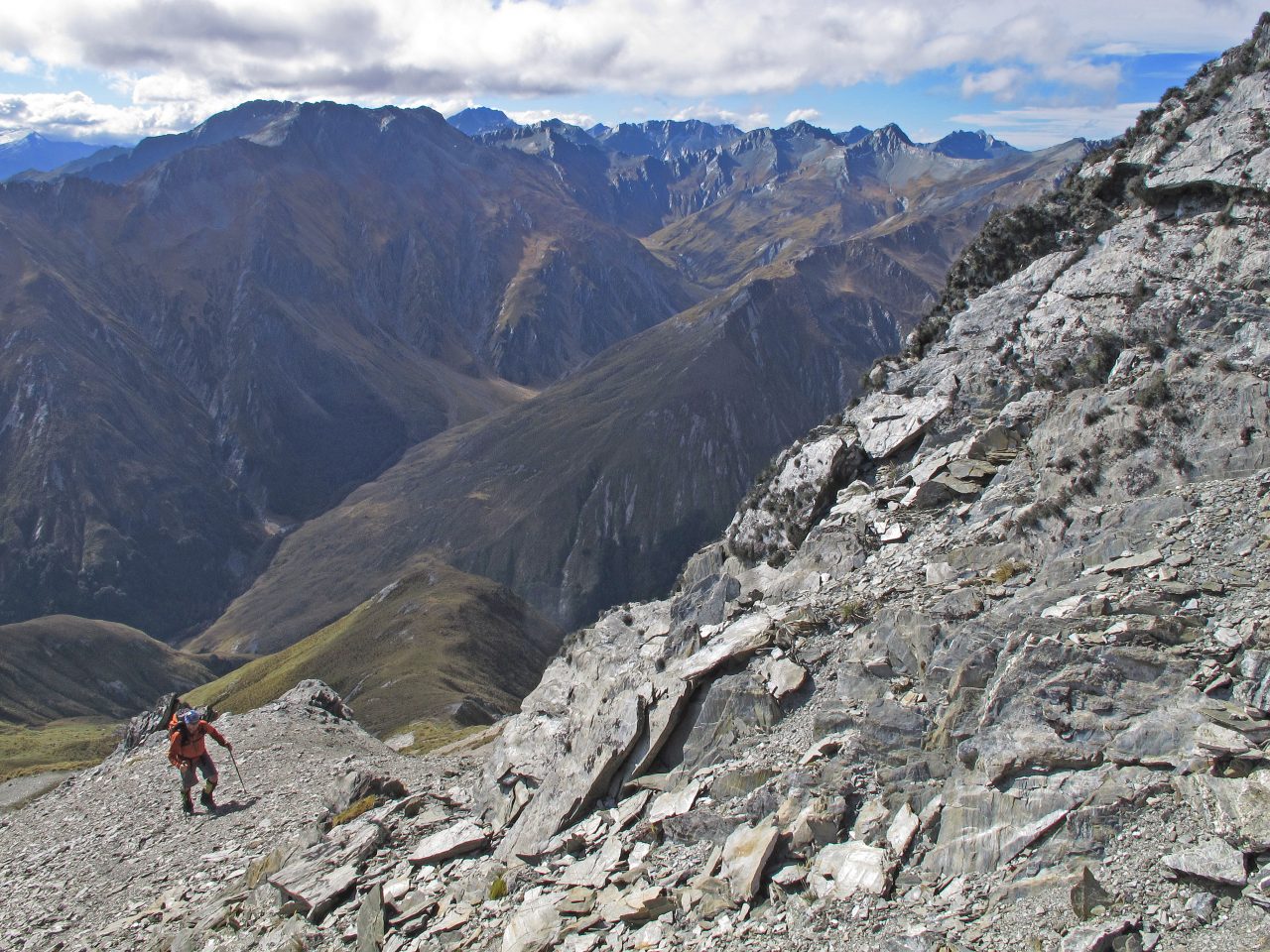
Climb directly along the ridge above the hut to Mt Alaska. There is no trail, but the ridge is stripped bare in places by harsh weather and erosion.
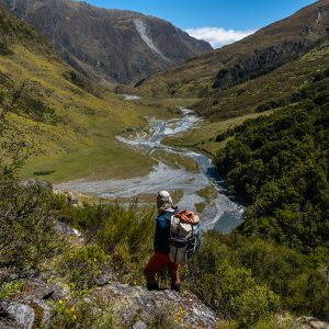
It’s a steep walk with intermittent short sections of scramble and loose terrain, but the views, especially those to the Rees Valley and Mt Earnslaw, are certainly worth it.
Return the way you came, perhaps overnighting in Heather Jock Hut.
– Chris Prudden
View more photos from this trip…


– Chris Prudden

Already a subscriber? Log in
Subscribe to read this article immediately and unlock exclusive 10-15% discounts at NZ’s best outdoor stores.
Cancel anytime.

Questions? Contact us