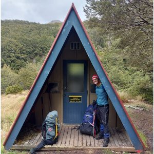
Sometimes it’s nice to walk without a pack, even if that means the views you’ll find at your destination will not be as spectacular as those that can be enjoyed further from civilisation.
So it was a pleasant surprise when my partner and I stumbled upon Castle Rock and the Deliverance Cove Track at Castle Point.
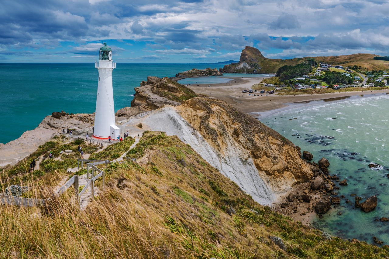
The track heads south-west beyond the sand dunes, through woods around and above a lovely sheltered cove, to Castle Rock/Matira. The summit is 162m above the cove, commanding panoramic views south over Christmas Bay, along the craggy south coast; and north, over the cove and a spectacular rocky reef, to the 100-year-old ‘Holiday lighthouse’ atop Seagull Island. Views fit for a king.
On the south-east side of Castle Rock are sheer, sometimes overhung cliffs, prompting Captain Cook in 1770 to coin the name Castle Point. This spot is also known for the strong winds that blow through – we were driven sideways several times as we approached the lighthouse, hence the Maori name for the area – Rangiwhakaoma, meaning ‘where the sky runs’.
A leisurely two-hour stroll took in the track, the summit, a sea level return past and onto the rocky reef, and finally the boardwalk up to the lighthouse and over the rocky terrain of Seagull Island. It’s very little effort for a great deal of scenery.
Afterwards, back down the road at the general store, we enjoyed a better cup of coffee than you’ll find in the hills, too
Distance
3.56km
Total Ascent
161m
Grade
Easy
Time
2hr
Access
From Masterton head east for 65km, following the signs to Castle Point. Park at the beach front road end
Your device does not support GPX files. Please try a different device.
About the author
Peter Laurenson
Peter is a tramper, occasional climber, photographer, editor and writer. His adventures, spanning 30+ years, come together on his website ‘OccasionalClimber’. Richmond-based, Peter is editor of FMC’s Backcountry and has published three books: Occasional Climber (2013) and Khumbu (2021) and Aotearoa Light (2025).
The 2026 Wilderness Outdoor Photographer of the Year competition
The trail of the tenacious
Subscribe!
Each issue of Wilderness celebrates Aotearoa’s great outdoors — written and photographed with care, not algorithms.Subscribe and help keep our wild stories alive.