Karaka Tramping Track-Waiotahi Track, Coromandel Forest Park

July 2018

Read more from

July 2018

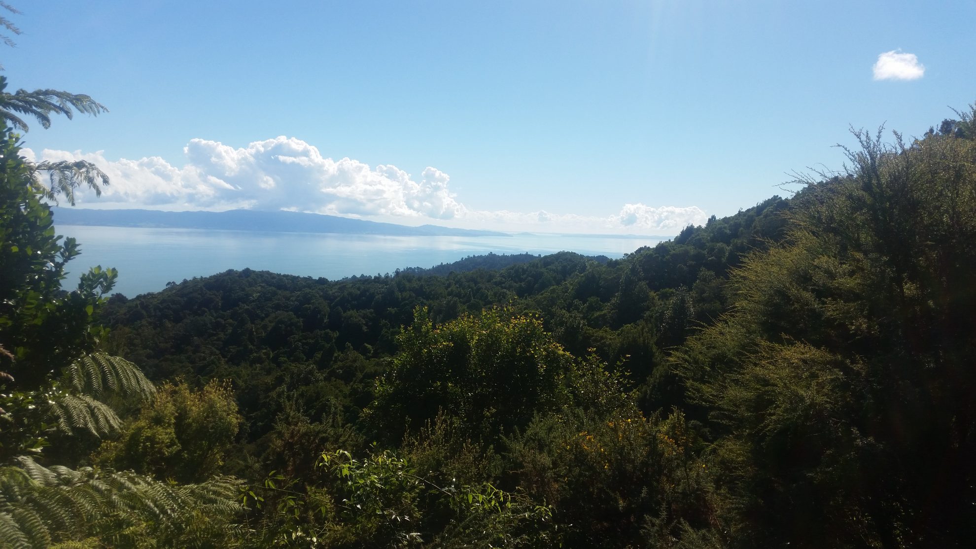
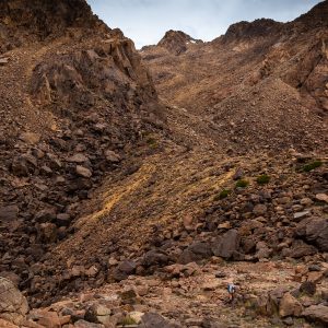
Climbing nearly 600m, the walk offers fantastic views of the forest and the Firth of Thames. Photo: George Driver

Forest gold

Climbing from the characterful former gold-mining hub of Thames high up into Coromandel Forest Park, this loop offers both the views and history that make the area a gem.

The track begins from Karaka Road and follows Karaka Stream through native bush for about 20 minutes, passing historic mining tunnels driven into the hillside. These tunnels are closed to the public due to the risk of collapse. 

The track crosses the stream – you can rock-hop across in low-flows, but it can become impassable during high flows and requires caution. After the crossing, the adventure begins. 

The track narrows and becomes increasingly muddy, threading through a damp valley filled with ponga ferns and rimu, before climbing gradually beside the stream for about an hour and then heading to the top of the valley. The track soon sidles through a large clay slip, offering the first views of the rich forest surrounds.

After another half hour of climbing, the track summits a ridge, revealing views deep into the Coromandel forest to the south. There are enormous kauri stumps beside the track, which soon emerges at a rocky outcrop known as the red-rocks. The rocks have been dyed bright red by lichen and provide the best viewpoint of the trip. The track, cut into the rock-face, was originally built for a tram track used to transport kauri logs to Thames.

The track continues through boggy sections along the ridge before reaching a junction (the track to the right leads to Crosbies Hut, two hours’ walk away). Head left on the Waiotahi Track, which doubles back, almost parallel to the Karaka Track on the other side of the ridge.

The Waiotahi Track is a wide 4WD track, making for easier travel than the Karaka, but the clay soils can still prove challenging after rain. The track climbs to the highest point of the loop, close to Pt665 before sidling along a ridge. After about 20 minutes, the forest thins, offering stunning views of the Firth of Thames and the Hunua Ranges. The track then descends from Pt560 and the forest opens up further, dominated by manuka scrub and gorse bushes, before winding down into Waiotahi Stream and past a number of old mining tunnels. 

It then heads gently down the stream to the Waiotahi Road end. From here it’s about a 30-minute walk through Thames back to the Karaka Road car park.

Distance
11.7km
Total Ascent
865m
Grade
Easy / Moderate
Time
5hr
Access
From Karaka Road or Waiotahi Road
Map
BB34

GPX File

Karaka-Waiotahi (gpx, 141 KB)

GPX File

Your device does not support GPX files. Please try a different device.
George Driver

About the author

George Driver

More From Wild Trips

Related Topics

Similar Articles

Oturere Hut opening delayed, circuit on track for reopening

New online tool makes hut bookings easier

Walking is discovery

Maungatautari Over the Mountain Track, Waikato

Moss Creek Track, Coromandel Forest Park

Karioi Track, Pirongia Forest Park

Trending Now

Apply for the 2027 Shaun Barnett Memorial Scholarship

Boundary Creek Track, Hāwea Conservation Park

Orson Hopper Pro 2 Tent review

Review: Rab’s Neutrino -6°C provides high-performing comfort for the long game

The coach steps ashore 

Subscribe!
Each issue of Wilderness celebrates Aotearoa’s great outdoors — written and photographed with care, not algorithms.Subscribe and help keep our wild stories alive.

This article is exclusively for Wilderness subscribers

Already a subscriber?  

Subscribe to read this article immediately and unlock exclusive 10-15% discounts at NZ’s best outdoor stores. 
Cancel anytime. 

Website Subscription

Print + Website

1

free articles left this month.

Already a subscriber? Login Now