Link huts on a three-day loop from Ōtaki Forks, with tops travel, quiet bush ridges and the seldom-walked Pakihore Ridge Track.
This rewarding loop links Field Hut, Kime Hut and Penn Creek Hut. It offers big views from the Tararua Main Range without committing to the more serious Tararua Peaks section and its infamous ladder.
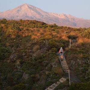
Start on the well-graded Fields Track, climbing around 800m. There are open views initially before the route returns to the bush.
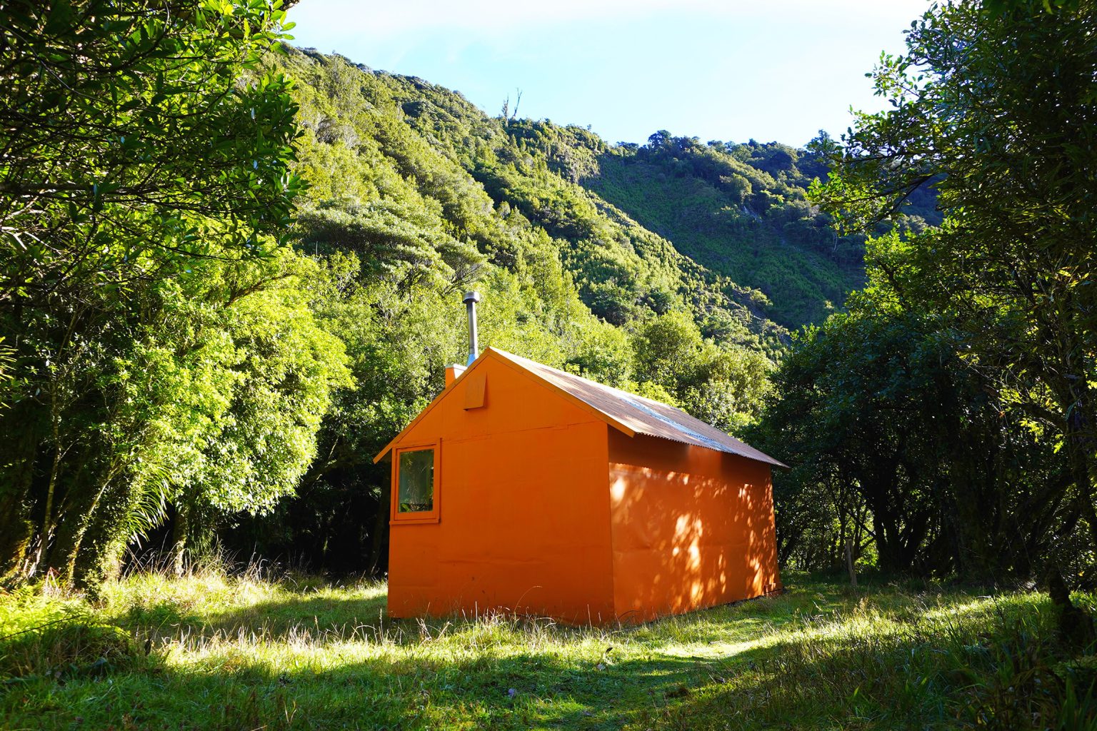
After 6.3km, Field Hut appears near the bushline. Built in 1924 by Tararua Tramping Club, it is the oldest surviving recreational hut in the Tararua Range. You may wish to overnight here.
From Field Hut, continue above the bushline towards Table Top and along Judd Ridge. About 1km from Table Top you will reach the junction with Penn Creek Track; ignore this, keep right to cross over Dennan and on towards Hut Mound. In clear and calm weather this is magnificent tramping with views south towards Mt Hector and north along the range. In poor conditions the same section can be exposed, cold and disorientating. The route is well established, but should be attempted only with a suitable forecast and equipment.
At the junction south of Bridge Peak, keep right and continue over Hut Mound (1440m) to Kime Hut. It has no heating and can be extremely cold, but is superbly placed.
From Kime Hut, retrace your steps to the junction south of Bridge Peak then turn right (east) onto Tararua Main Range towards Maungahuka Hut. This is the most demanding section of the loop, taking 7–9hr to Penn Creek Hut. The route descends to Boyd–Wilson Knob (1138m) then climbs as it crosses Vosseler, Yeates and McIntosh (1286m), with mud, uneven ground, thick vegetation in places, exposed sections and little shelter from wind or weather. In settled conditions it is also one of the highlights, with expansive views south towards Neill–Winchcombe Ridge, back towards Judd Ridge and ahead to Pakihore Ridge.
At the signposted junction 500m beyond McIntosh, turn left and head north along Pakihore Ridge towards Pt1088. The terrain soon broadens and becomes more sheltered before the track drops back to the bushline.
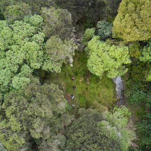
Pakihore Ridge Track is the roughest and least travelled of the circuit. From the bushline the track enters atmospheric goblin forest. The descent is long, steep in places and requires close attention to the orange markers. Passing through changing bands of bush, it loses more than 1000m before reaching Penn Creek.
Cross the creek to reach six bunk Penn Creek Hut. It feels far more remote than its distance from Ōtaki Forks suggests.
Do not follow the old Penn Creek route down the river towards Ōtaki Forks: this route is no longer viable, with major slips making it hazardous. Instead, climb back to Table Top on Penn Creek Track. This ascent gains around 850m and is sustained but easier to follow than Pakihore Ridge. Near the top the forest gives way to scrub and then open tops. Some signage in this area can be confusing, because warnings appear to relate to the old river route below Penn Creek Hut rather than the maintained track between Table Top and the hut.
Back on Fields Track, descend past Table Top and Field Hut to Ōtaki Forks.
The loop begins and ends on one of the classic Tararua routes, but its middle section feels quieter, rougher and more remote.