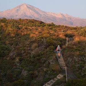
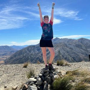
Enjoy a pleasant two-day tramp across easy saddles and open valley flats.
This straightforward overnight loop to the Poulter Valley and Casey Hut is a perfect opportunity for trampers to get a taste of Arthur’s Pass National Park’s scenic interior. Deemed an ‘advanced’ tramping track by DOC due to the mountainous environment and unbridged stream crossings, travel is generally easy through well-marked forest and open valley flats.
The loop can be walked in either direction, with Andrews Shelter and Campsite on Mt White Road an ideal starting point.
From there, take the Andrews Valley Track. Over 5km this climbs about 300m to bypass a gorged section of Andrews Stream before dropping back to the valley floor and Hallelujah Flat. Pleasant, open travel here invites views of the Savannah Range to the west and Brown Hill to the east.
Casey Saddle (777m) is reached after a further 3km. A number of small tributaries converge as you drop into the headwaters of Casey Stream, requiring some minor crossings. A marker on the true right of Surprise Stream, approximately 1.5km from the saddle, indicates where the track reenters bush for the rest of the journey to Casey Hut. At the time of writing there was a significant amount of windfall here, which was easily negotiated by following well-worn detours.
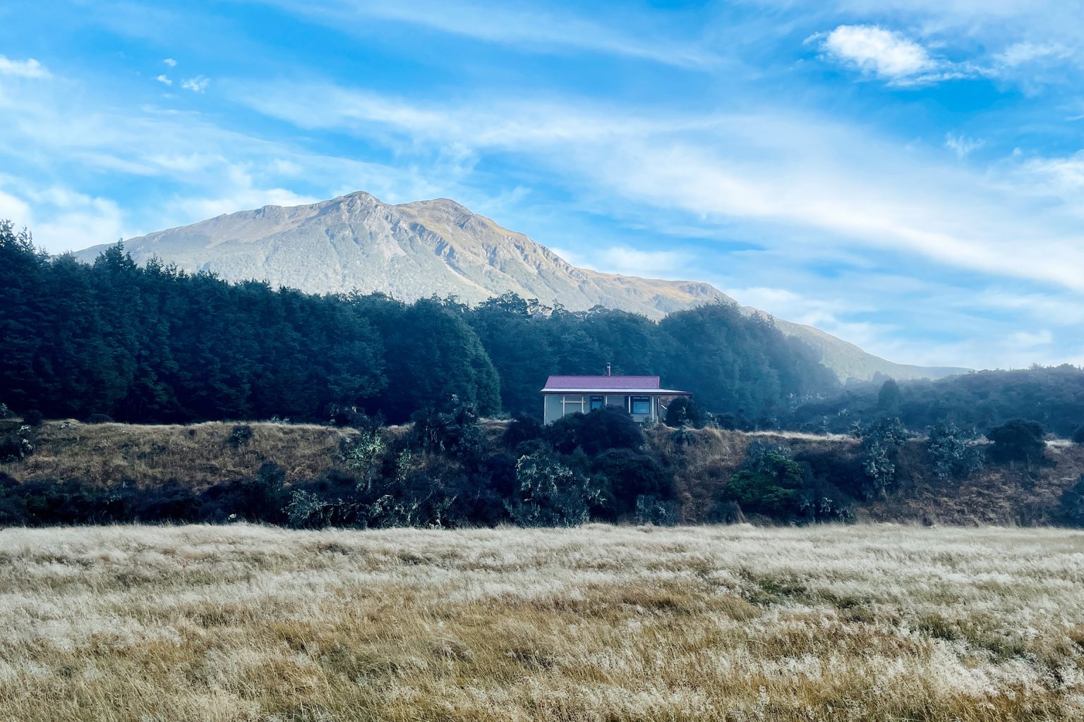
Descending into Poulter Valley you will meet Poulter River Track at a signposted junction. To the left, poles lead across Casey Stream and on to Poulter huts, Lake Minchin and beyond. Head right for 20 minutes to reach Casey Hut, tucked around a bend, after 5–7hr total walking.
Casey Hut was built in 2020 to replace the original, which burnt down in 2015. A generous private donation funded the new hut. A booklet at the hut provides fascinating insights into the nineteenth-century runholding efforts in this valley by the Minchin brothers, and Fred Minchin’s discovery of the nearby lake.
Leaving Casey Hut, continue on mostly 4WD track south across the Poulter’s broad, matagouri-sprinkled flats for 3–4hr, first crossing Mt Brown Creek and later Pete Stream. Straightforward in dry conditions, these could require extra caution after rain. This section of the Poulter River Track is pleasantly easy and allows full appreciation of the landscape, from the neat geometry of glacier-carved terraces to the gradually looming Peveril Peak and Mt Binser.
About 1km from Pete Stream a plot of poplar trees on the western hillside is the only trace of the old Minchin homestead. Binser Saddle is visible above as the final obstacle.
At the track junction immediately after crossing Pete Stream, take the Binser Saddle Track west. Climb about 600m through beech forest to Binser Saddle (1085m). The 5km descent to Mt White Road is straightforward, with views of the Waimakariri Valley a final reward after 6–8hr walking. The track meets the road about 2.5km from Andrews Shelter and Campsite, requiring extra walking or a car shuttle.