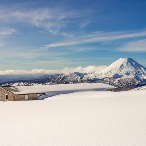
Take a rarely trodden path to an old mustering hut with views across Lake Aviemore and the Waitaki Basin.
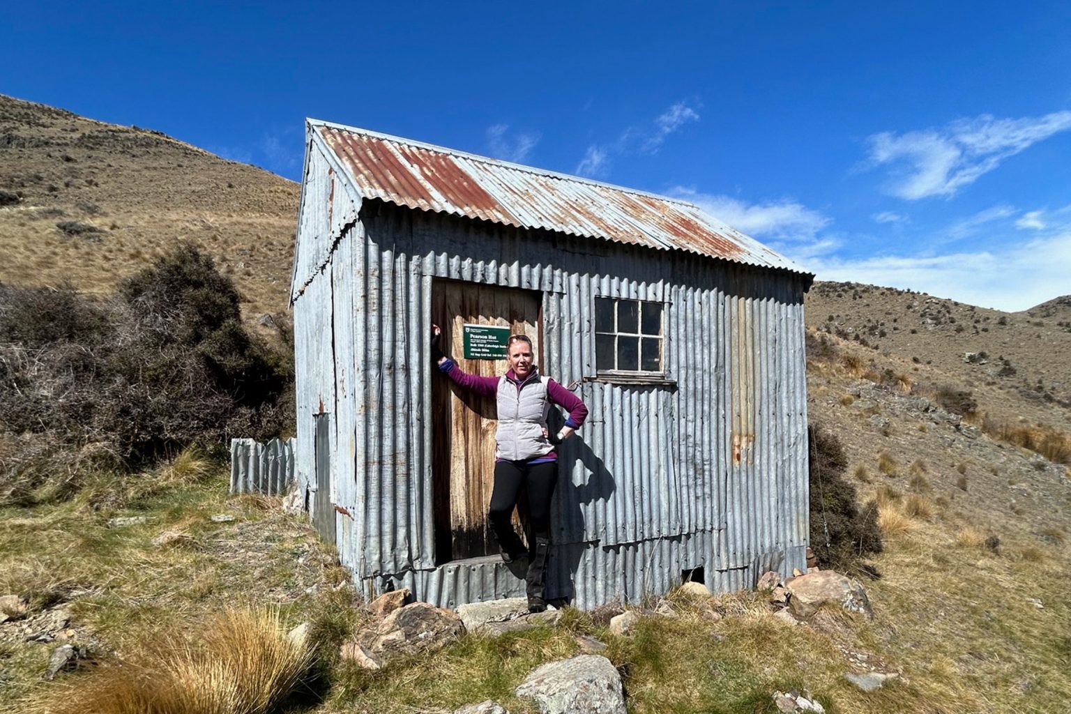
Kirkliston Range, on the western side of Hakataramea Valley, is a seldom-visited area of rugged beauty. Pearson Hut, its walls steeped in the history of high-country mustering, gets few visitors.
The route begins along an easement at the end of Farm Road and follows an easy 4WD track the entire way (This easement through Lone Star Farm is closed during September and October). Note that the dotted Farm Road Easement track, marked on Topo50 maps, is incorrect and should not be followed.
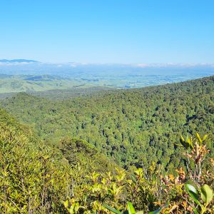
From the end of Farm Road, head north along the 4WD track. It climbs steadily through farmland for 5km to around 600m, crossing a few side creeks before the final one south of Pt669. From here the track climbs steeply up a ridgeline, eventually reaching a DOC sign that marks 6km to Pearson Hut. As height is gained, wide views open out across the Waitaki and Hakataramea valleys, their patchwork paddocks dotted with sheep and cattle. Above, the open tops of Kirkliston Range stretch away, coated in golden tussock and dotted with rocky outcrops.
Eventually, the climb eases and the track swings north to pass over Pt1116 before reaching a high point of 1206m. There is no water along this section, so carry ample supply.
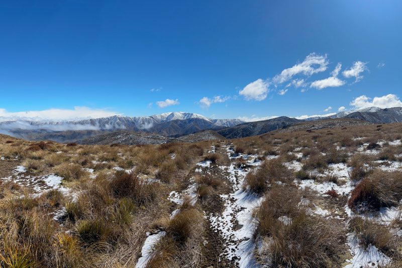
The track continues along the tops before descending towards Pearson Hut. A steep drop leads to a T-junction roughly 200m above the hut. From here you can either turn left and follow the track south as it curves gently around the slope to the hut, or, for a quicker route, head slightly north around a large boulder until you spot the hut in the valley below then drop 200m down a tussock spur.
A small stream near the hut provides the only water source and can run dry in summer, requiring a wander further downstream to find water. Matagouri lines the creek and offers the only shelter in the otherwise barren, windswept landscape.
A day hike to Pearson Hut is a long outing with steady climbs rewarded by expansive views from rolling farmland to tussock-clad high country. Alternatively, make it an overnight trip to fully absorb the history of the old mustering days. Whatever your choice, a journey into Kirkliston Range promises quiet reflection and near certain solitude.