Enjoy 360-degree views of Lake Wānaka and Mt Aspiring National Park without the throngs at Roys Peak.
Rocky Mountain (775m) sits within Diamond Lake Conservation Area and is part of a distinctive rock mass sculpted by glaciers.
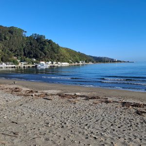
Start by walking the 4WD track to Diamond Lake, a small glacial lake protected by cliffs at the foot of the mountain. In years gone by it was reliably covered with thick ice in winter and a favourite haunt of ice-skaters. It is surrounded by raupō, shrubs and willows.
Keep to the western edge of the lake, and at the far end take Lake Wānaka Lookout Track. It climbs steeply, zig-zagging around bluffs and through stands of native forest rich in kāpuka broadleaf, kōhūhū black matipo, makomako wineberry and kōtukutuku tree fuchsia, the latter with its distinctive orange bark. There are several sets of steps before you reach the top of the cliffs above the lake and a viewing platform, about 1.5km from the car park.
Some 100m further on, the Lower Circuit Track branches off to your left. You can head west along this, or continue east on the Lake Wānaka Lookout Track before meeting the circuit track higher up. Both routes are clearly signposted and connect with Rocky Mountain Track, which will take you to the summit. There is also the option of continuing east along Lake Wānaka Lookout Track to the lookout (5km return to car park).
A great way to reach the summit is to ascend via the western route and return via the eastern route. The tracks are well formed but have some challenging terrain: the western (2km) has wet, rocky and muddy scrambles and the eastern (1.5km) has exposed drop-offs. Note that in winter and early spring the ground can get icy and extreme care is recommended.
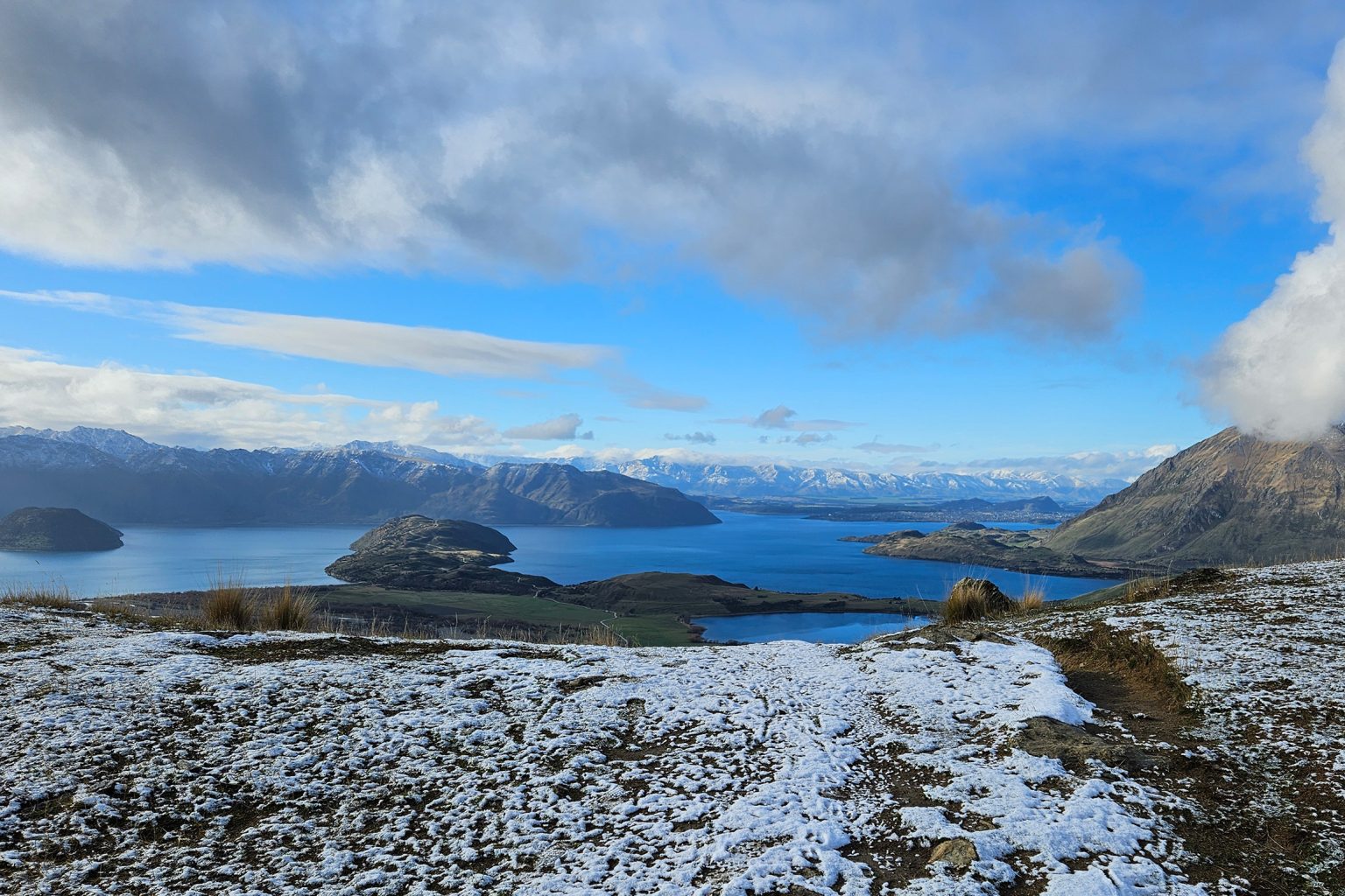
The view at the top is unparalleled. You can see Lake Wānaka and its largest islands (Mou Waho and Mou Tapu), the Motatapu and Matukituki river valleys and the Southern Alps. On a clear day the distinctive profile of Tititea Mt Aspiring dominates the skyline to the west. There is plenty of space at the summit to take a break and have a snack.
For those wanting a shorter walk within the Diamond Lake Conservation Area, take the gentle Loop Track around Diamond Lake (2.3 km return). There is a toilet at the car park.
Distance
6.4km
Total Ascent
462m
Grade
Easy
Time
3hr
Access
Diamond Lake Conservation Area car park, off Wanaka–Mount Aspiring Road
Each issue of Wilderness celebrates Aotearoa’s great outdoors — written and photographed with care, not algorithms.Subscribe and help keep our wild stories alive.