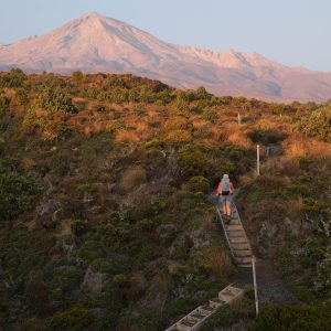
An unpretentious hill behind Havelock hosts a labyrinth of tramping and biking trails for a range of abilities.
Takorika is a delightful day trip in a hidden corner of Te Waipounamu.
The track network is on council land and is primarily maintained by local volunteers Camilla and John, whose hand-painted maps and signs add a homely touch to the experience.
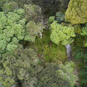
Park at the top of Lawrence Street at the south end of town, where a framed map shows the route options. If you are fit and can manage a rough scramble up an unformed trail, try the Waterfall Track. Although this becomes slippery after heavy rain, it features the most attractive native bush.
Otherwise, start up a 4WD road, splash across a stream, then turn right at the first junction. Once past the town dam the track climbs the true left of a gully and soon reaches a 5m cascade that surges through a slot in the vertical canyon wall.
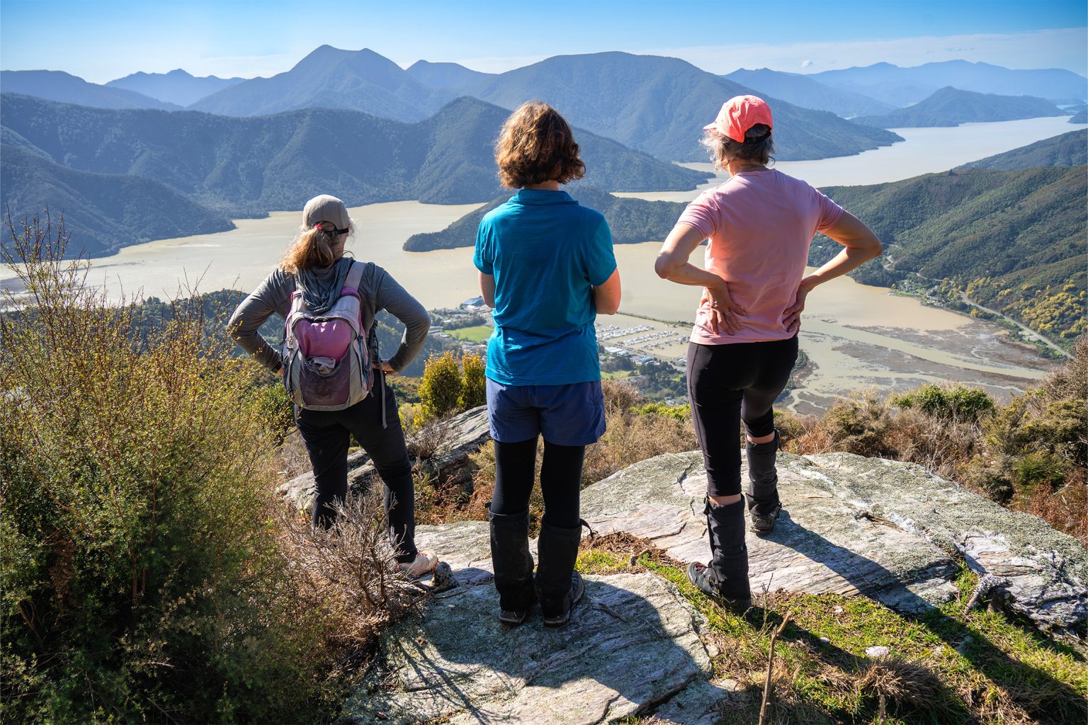
The terrain steepens and the track criss-crosses the creek as it climbs. After about 30min a second waterfall is passed before the trail links with the Lower Track and Goat Track, both of which sidle south-east. You will then reach the Lookout Loop, an easy detour leading to a remarkable rock garden that sports an unrivalled view to Havelock below and out to the far reaches of Te Hoiere Pelorus Sound.
Further up the hill the Escarpment Loop turns south through a small copse of beech forest and above a line of bluffs. From here an excellent panorama can be enjoyed over Mt Richmond Forest Park, featuring the bushy tops of Mts Riley and Sunday. Beyond is the snowy profile of Tapuae-o-Uenuku on the Inland Kaikōura Range.
A short distance away on the 721m summit are a telecommunication tower and trig and a commanding view of the Marlborough Sounds.
The safest and least knee-jarring route downhill is via the Main Track, which zig-zags through regenerating bush back to the trailhead.
An alternative route for trail runners or mountain bikers is via Wilsons Road, which begins 4km west of Havelock and winds up the hillside to the summit mast.
Your device does not support GPX files. Please try a different device.
About the author
Ray Salisbury
Ray Salisbury is an author and photographer living in Nelson with his wife and cat. He studied design and photography and has been contributing to Wilderness since 1997. His books include Tableland: The history behind Mt Arthur and EPIC: Adventures across Aotearoa. Ray began tramping with a camera more than 50 years ago and has visited over 500 backcountry huts.
Apply for the 2027 Shaun Barnett Memorial Scholarship
Boundary Creek Track, Hāwea Conservation Park
Orson Hopper Pro 2 Tent review
Circling the sleeping giant
Which private walk is for you
Subscribe!
Each issue of Wilderness celebrates Aotearoa’s great outdoors — written and photographed with care, not algorithms.Subscribe and help keep our wild stories alive.