Discover a little-known valley with great camping near the headwaters of Boundary Creek.
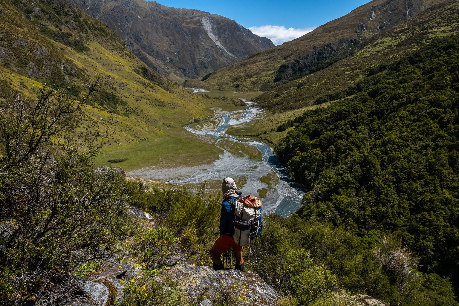
Boundary Creek, in Hāwea Conservation Park, is a little-known gem, the upper reaches of which are protected by a steep impassable gorge. Luckily for trampers, a route into the headwaters provides access to gentle river flats with wonderful camping.
The route starts by following a 4WD track up a regenerating face on the eastern slopes above Lake Wānaka, near Makarora. This track is in good condition (vehicles are prohibited) but there is little shade and no water, so it can be a real scorcher in summer. The track zigzags, sometimes steeply, up to the 850m contour, where the route into Boundary Creek leaves the 4WD track and follows an old bulldozed musterer’s track.
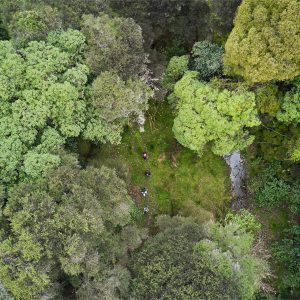
This track sidles high above the Boundary Creek gorge through beech forest and open scrubby clearings. While it is generally easy to follow, in a few places it is deteriorating and overgrown and largely unmarked, so care with route finding is required. Look out for cairns and occasional older-style permolat markers. Open areas along the track provide good spots to take a break with views into the impressive Boundary Creek gorge below.
About 7km from the road end the bushy sidle track ends abruptly and a completely different vista unfolds as the steep-sided valley opens out. Here, Boundary Creek is no longer a turbulent torrent but a slow meandering river flowing gently through expansive grassy river flats.
The flats extend for a good 4km upstream, and a small saddle leads to upper flats. Criss-cross the river to find the easiest travel and to avoid any swampy areas, although it’s not worth trying to keep your feet dry. There is ample camping in the valley, but the best is right at the top of the flats where excellent campsites exist at the edge of the beech forest.
It’s a beautiful valley and feels surprisingly remote despite being only a short walk from a main highway. An easy day trip could be done to the start of the flats (6–8hr return). Boundary Creek also provides access further into the McKerrow and Young ranges for trampers experienced in off-track travel.
Your device does not support GPX files. Please try a different device.
About the author
Jo Stilwell
Jo has tramped extensively throughout the South Island over the past 40 years. She started writing for Wilderness about getting into the outdoors with children when her daughters were young. Living at Lake Hāwea, Jo is spoilt for choice when selecting outdoor adventures. She particularly enjoys remote areas, loves exploring untracked rivers and ridgelines, and is partial to a good bush-bash.
Apply for the 2027 Shaun Barnett Memorial Scholarship
Boundary Creek Track, Hāwea Conservation Park
Which private walk is for you
Orson Hopper Pro 2 Tent review
Circling the sleeping giant
Subscribe!
Each issue of Wilderness celebrates Aotearoa’s great outdoors — written and photographed with care, not algorithms.Subscribe and help keep our wild stories alive.