Rebecca Hayter meets a map maker who creates visually-stunning topo maps specifically for trampers
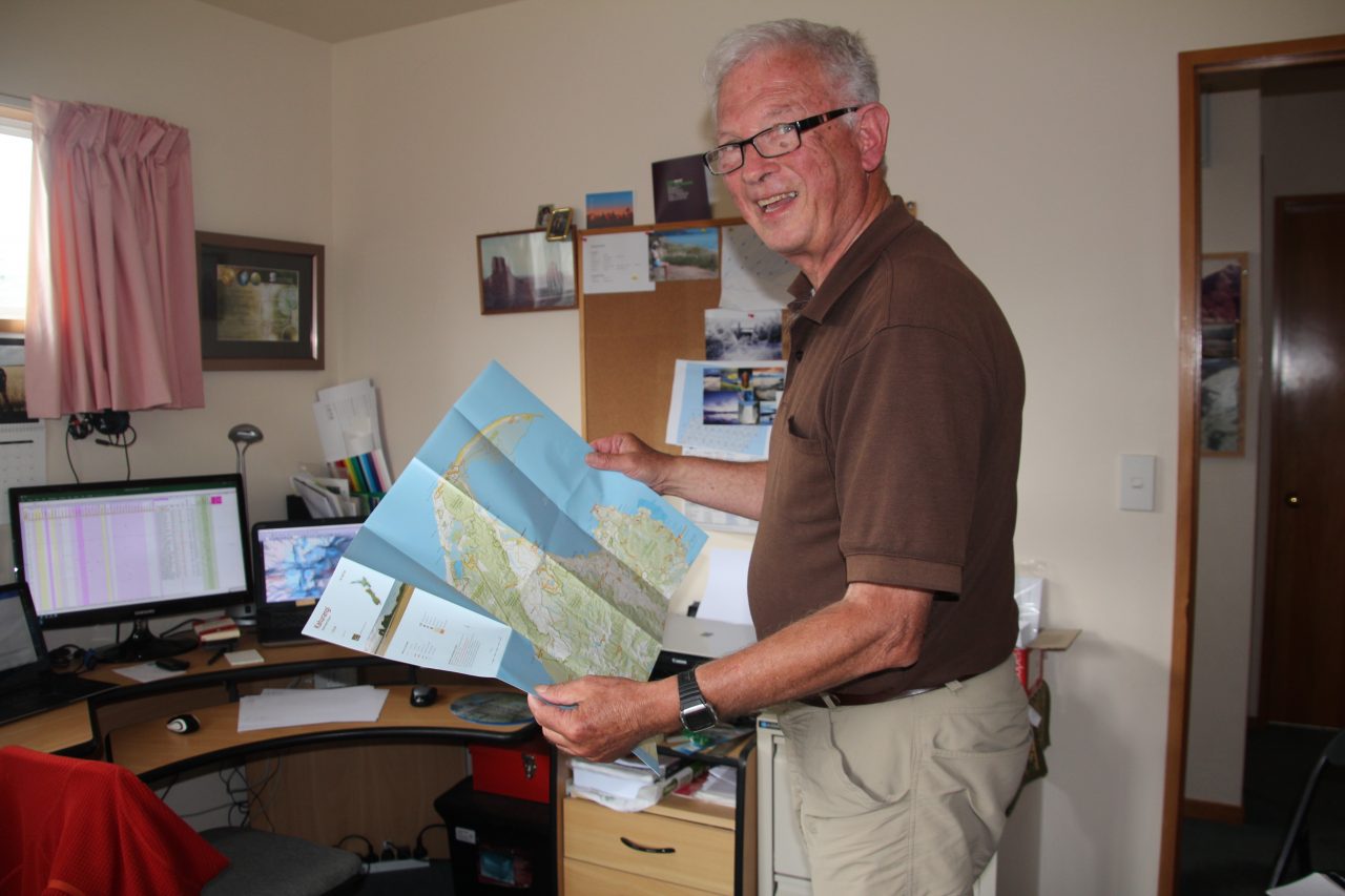
During his 40 years as a cartographer with LINZ, Geoff Aitken put his mark on a map many times – but never his boot print. He had always wanted to create maps specifically for trampers but his work for the government required a broader approach.
He retired in 2000. Two years later, NZ’s national mapping organisation reviewed its map design and Aitken submitted his ideas for improvements. He never heard back so he launched his own: NewTopo maps.
Since 2004, NewTopo has built a range of 41 tramping maps. They adorn visitor centres, huts and guide trampers tramping. Aitken sells around 6000 maps a year, and has sold more than 41,500 in total. Some maps are into their fifth edition.
But what’s different about NewTopo?
“I’m very selective,” Aitken says. With 65 years’ tramping experience, he knows how it feels to hold a compass over a map surrounded by fog, gauge the risk of a flooded creek and count the uphill hours his tired legs have yet to plod.
So his selection process reflects what trampers need to know and disregards what they don’t.
He lays the groundwork for a new map by importing into the software the basic data from NZTopo, the national topographic database. Derived from satellite imagery and aerial photography, the data is available in layers – such as hydrography: sea, rivers and lakes; roads; national park boundaries and government infrastructure.
“There is a large amount of information that must be on a national topo series, but if I included it on my tramping maps it would just muddy the image with visual noise,” he says.
He sets the map’s boundaries to cover entire tramps and sets the scale for A1 or A3 size paper. Some maps are double-sided to increase the scale available.
The new map begins as a skeleton – a barren landscape of contour lines. Layers add text for place names, heights and features; streams and rivers; towns and bush.
The relief shading by map-makers Geographx digitally paints craggy mountain ranges and shadows of steep-sided gullies that a tramper can relate to the surroundings. It’s an intensive process – Aitken refers to aerial photography from regional authorities, LINZ topographic maps and existing maps.
American map makers developed the technique for mapping relief, to create a three-dimensional effect, in the 1960s. It assumes the sun is at 45 degrees in the north west. “It enables the eye to make sense out of the flat landscape of the map,” says Aitken.
The map evolves through what Aitken calls graphic communication – a skill he developed while studying cartography in the Netherlands in 1981. It guides him in deciding the colour and thickness of contour lines and the design of text: track and hut names are important so they jump out cleanly in purple with a yellow surround. Names of mountain ranges space out over their territory. His symbols for cliffs sweep up into steepness; his mangrove symbols are muted to recede.
“The aim is to give the tramper as many clues as possible in verifying their position,” he says. “You can believe you’re wrong unnecessarily – if a track deviates from a river, you should be able to see why. You can’t see cliffs on your side of the valley but you can on the other. You can count streams to help verify your position.”
The DOC website, publications such as Wilderness and tramping club reports also provide information about huts and tracks, estimated route times and notes of local history. DOC or local authority staff fact-check the maps.
Aitken prints his maps on high-wet-strength or synthetic paper and he has no plans to go digital, believing trampers will continue to favour paper maps because electronics are heavy, power-hungry and vulnerable to wet.
“A Spanish fellow had to be flown off Mt Cook because the batteries in his GPS went flat and his map went blank,” Aitken says. “He knew his location but not where to go to get out.”
If only he’d had a NewTopo map.