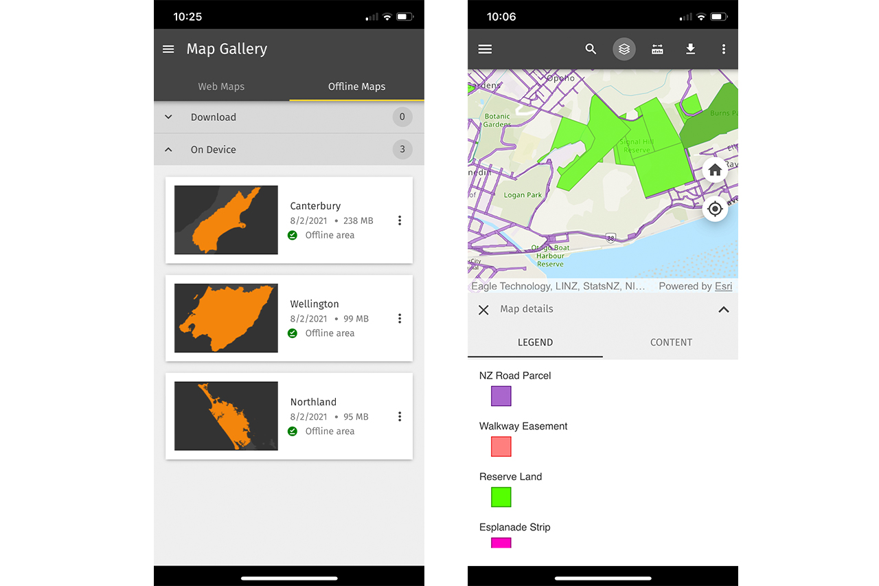
The Walking Access Commission has launched a new mobile map app that lets users view public tracks and land from their phone.
The commission’s online mapping tool, Our Maps, is one of the most comprehensive for showing tracks and public land, including paper roads, esplanade reserves and council land. The new app, Pocket Maps, now makes this information accessible via mobile phones and includes GPS so people can see public land boundaries in real-time while tramping, making tasks like finding a paper road or a remote reserve far easier. Users can also draw and measure routes while on a tramp.
Maps can be downloaded and used offline, with topographical maps and satellite imagery available as the base map.
“Pocket Maps lets people search their exact location, search by region and, through the map layers, understand what type of access land they are currently on or looking to hunt, fish or mountain bike through,” a spokesperson said.
The Wilderness 40 Best Huts: 12 Top North Island Huts
Takorika, Havelock Water Supply Reserve
Subscribe!
Each issue of Wilderness celebrates Aotearoa’s great outdoors — written and photographed with care, not algorithms.Subscribe and help keep our wild stories alive.