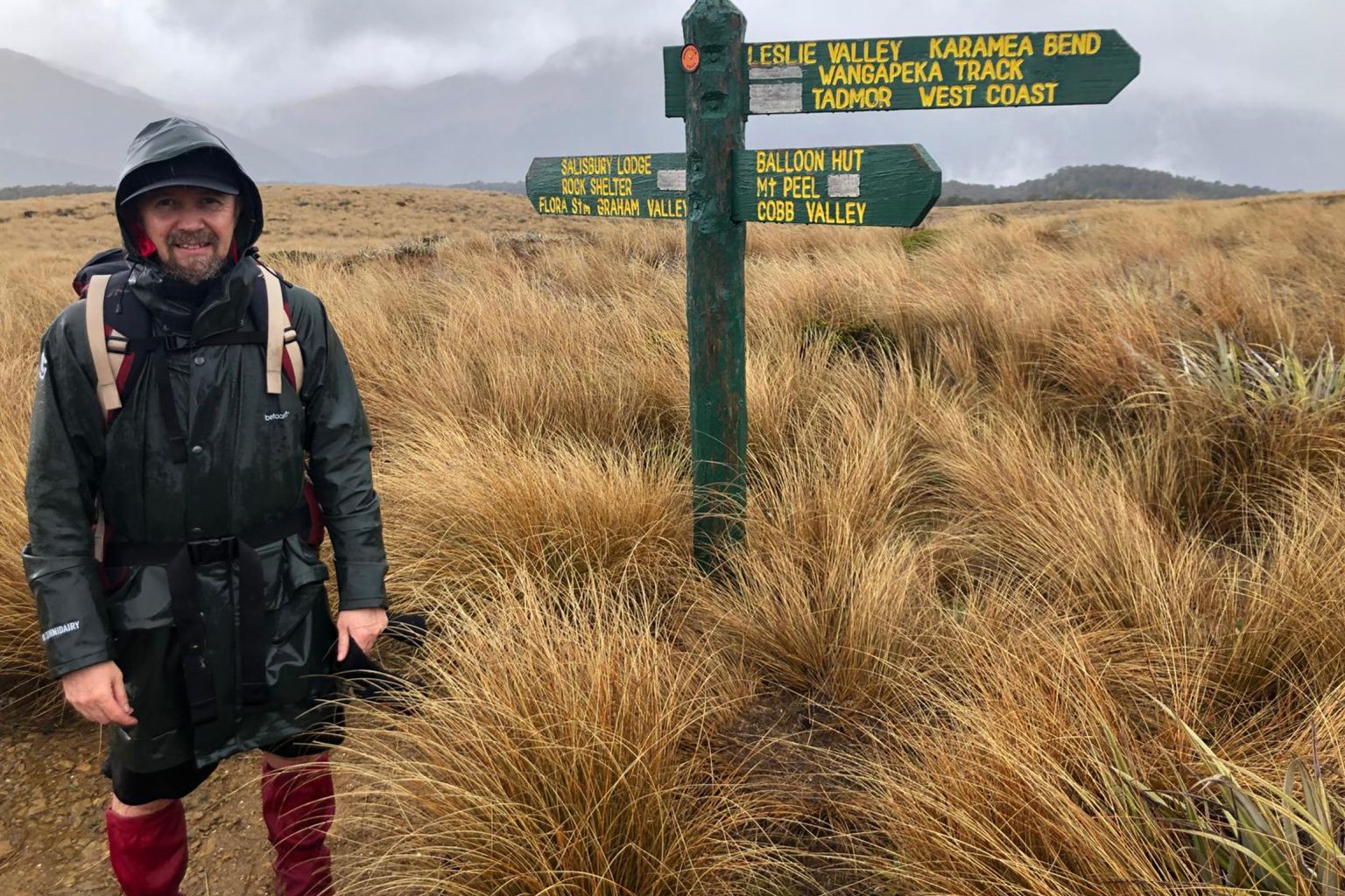
After Bryn Heveldt became frustrated with bouncing between multiple browser tabs for maps and weather information when planning an outdoor mission, the freelance web developer decided to use his career to his advantage to create Mapit.nz.
Open-source LINZ map data and weather data from Open-Meteo provide the foundation of the site. “The weather API is specific to the exact geolocation. It’s surprisingly accurate and detailed,” Heveldt said.
After creating Mapit, initially for himself and friends, Heveldt made it public. “I thought it was criminal not to,” he said.
Logging in isn’t necessary; rather, the browser stores information for the user. Heveldt uses Mapit to plan his tramps and keep a reference of possible future mission ideas.
“My friends and I like to go to places that often have no tracks or require careful satellite-detailed planning to find camp spots and the best routes across the spicy bits,” he said. “It’s also a great way to quickly assess the best place to go if the weather forecast isn’t great. Just switch between missions to get a weather overview.”
His favourite feature is the satellite magnifying glass. “It allows you to assess the terrain or find a clearing for camping without turning on entire layers and losing your place on the topo map,” he said.
About the author
Samantha Mythen
Walk Shorts writer Samantha Mythen is currently adventuring around the world, writing, hiking and cycling. She studied law but is now a journalist. She has worked for RNZ and freelanced for global publications, including Japan Today.
Apply for the 2027 Shaun Barnett Memorial Scholarship
The coach steps ashore
Review: Rab’s Neutrino -6°C provides high-performing comfort for the long game
Circling the sleeping giant
Mt Lyndon, Korowai/Torlesse Tussocklands Park
Subscribe!
Each issue of Wilderness celebrates Aotearoa’s great outdoors — written and photographed with care, not algorithms.Subscribe and help keep our wild stories alive.