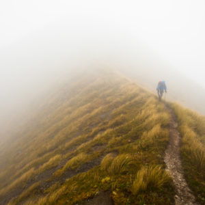
An attractive and relaxed loop with an extra treat for geography buffs.
From Waiohine Campsite, cross the impressive Jim Nimmo swingbridge to the Cone Hut Track. Almost immediately is an unmarked junction at which you keep to the left. A DOC warning sign tells of the track not being maintained, but don’t be shy – you’re on the right track!
There’s a short descent to Coal Stream, which can be splashed through before heading south-west up the spur on a tidy track which climbs steadily but easily for about 3km to Pt745.
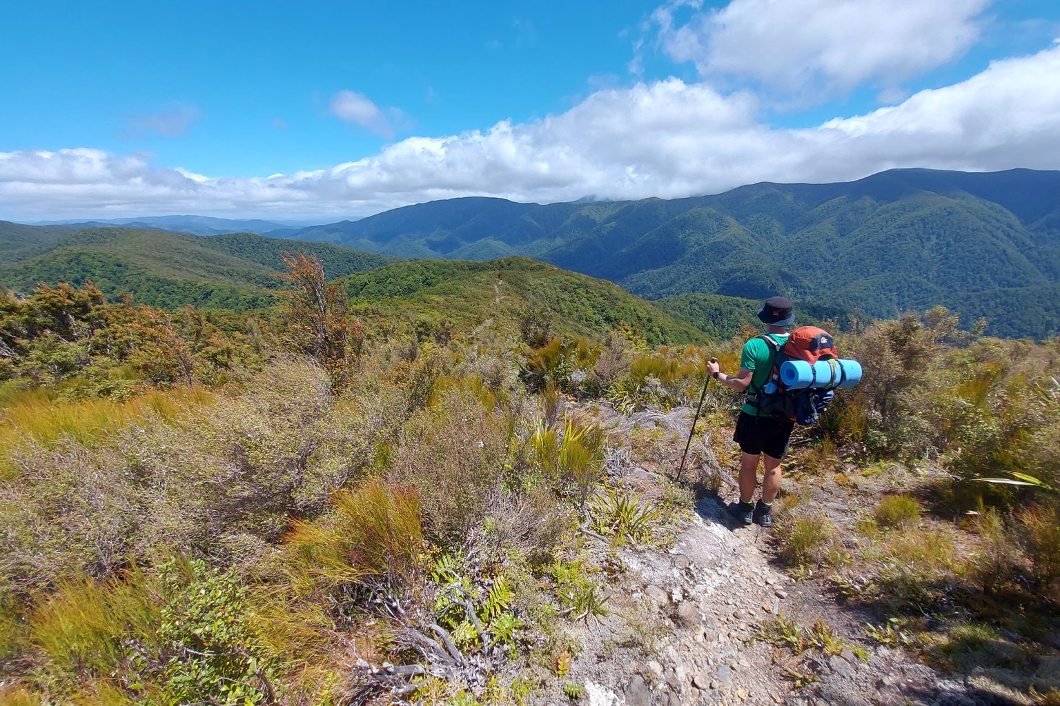
There’s another track junction here. Turn right onto the Mt Reeves Track to go west for an hour along the tops to the summit of Reeves. On the way you’ll pass Pt785, the geographic centre of New Zealand and its vast continental shelf. It’s denoted by a grand ground plaque that’s impossible to miss. Reeves (899m) looks like an unexciting bush-covered hill on maps. But it has a couple of splendid lookouts offering full-circle views of the Wairarapa Plain and the Tararua Range. A gentle 2km stroll westwards down the spur leads to a near-somersault descent into the Tauwharenīkau Valley and Tutuwai Hut. Tutuwai is an older-style hut with two bunkrooms partitioned from a common area. It’s a welcoming place, so stay here, or continue on to Cone Hut.
The well-defined Tauherenikau Track traces its namesake river, skirting flats and meandering north-east through lowland forest. It’s an enjoyable 4km section (and perhaps the only place in the Tararua Range where the given time to the next destination – Cone Hut, 1hr – is spot on). Cone Hut is the second oldest hut in the park (Sayer Hut is the oldest) and sits amid towering podocarps. It was constructed in 1946 from tōtara slabs. It’s a 300m climb on the eastern of two tracks leading to the ridge that separates the Tauherenīkau and Waiohine valleys. At the junction, head south to Pt682 and then east past Pt572 to Waiohine Campsite. After an easy 4km stroll through attractive forest on a clear track with few undulations, the river will be roaring just before the car park
Distance
15.8km
Total Ascent
1237m
Grade
Easy
Time
Car park to Tutuwai Hut, 4–5hr; Tutuwai Hut to Cone Hut, 1hr; Cone Hut to car park, 2.5hr
Accom.
Tutuwai Hut (standard, 20 bunks), Cone Hut (free, six bunks)
Your device does not support GPX files. Please try a different device.
About the author
Lachlan McKenzie
Lachlan McKenzie began tramping as an adult and hopes to inspire others to do the same. He most enjoys tramping in small groups and alone, and his list of ‘must do’ trips only seems to get longer. Lachlan is a communications professional and holds tertiary qualifications in marketing and music. He also loves orienteering and is keen to extend himself in basic mountaineering.
Apply for the 2027 Shaun Barnett Memorial Scholarship
Review: Rab’s Neutrino -6°C provides high-performing comfort for the long game
The coach steps ashore
Circling the sleeping giant
Mistakes I’ve made in the outdoors
Subscribe!
Each issue of Wilderness celebrates Aotearoa’s great outdoors — written and photographed with care, not algorithms.Subscribe and help keep our wild stories alive.