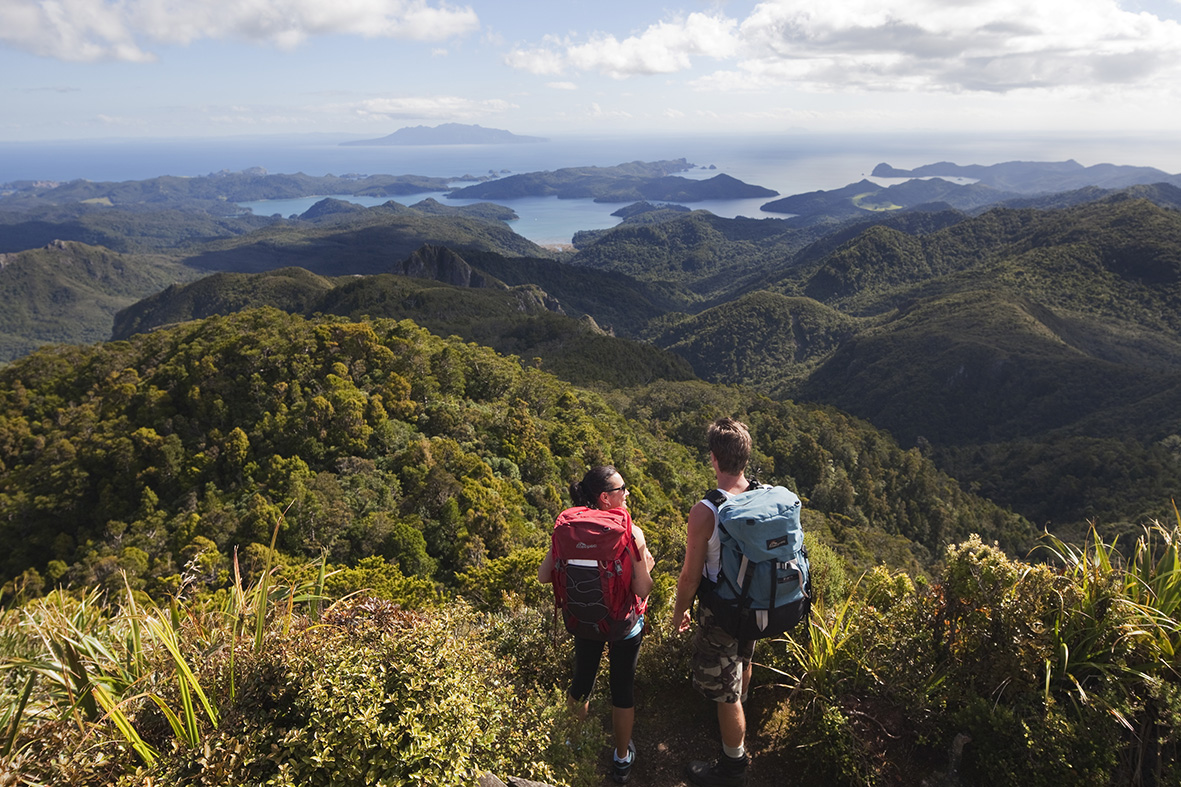
Mt Hobson, Great Barrier Island

Read more from

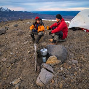
On top of Mt Hobson. Photo: Andris Apse

An easy track leads from Kaiaraara Hut (28 bunks) up north branch of Kaiarara Stream.

After an hour or so the first remains of historic kauri dams can be seen.

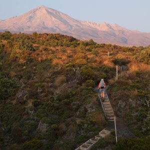
The track continues to climb, with a last steep section consisting of hundreds of steps leading to the 627m summit.

Continue on to Mt Heale and around the headwaters of Kaiarara Stream which the track drops down to and back to the hut.

Distance
9.89km
Grade
Easy / Moderate
Area
Great Barrier Island
Time
6hr
Accom.
Kaiaraara Hut ($15, 28 bunks)
Access
At the end of Kaiaraara Bay Rd
Map
AY34

GPX File

Mt Hobson (gpx, 6 KB)

GPX File

Your device does not support GPX files. Please try a different device.
Alistair Hall

About the author

Alistair Hall

More From Trips

More From Trips

Similar Articles

New online tool makes hut bookings easier

A Real walking experience

Walking is discovery

Comans Track and Mercer Bay Loop, Waitākere Ranges Regional Park

Kuataika and Smyth Ridge tracks, Waitākere Ranges Regional Park

Zion Hill Track, Waitākere Ranges Regional Park

Trending Now

Apply for the 2027 Shaun Barnett Memorial Scholarship

Review: Rab’s Neutrino -6°C provides high-performing comfort for the long game

The coach steps ashore 

Circling the sleeping giant

Mistakes I’ve made in the outdoors

Subscribe!
Each issue of Wilderness celebrates Aotearoa’s great outdoors — written and photographed with care, not algorithms.Subscribe and help keep our wild stories alive.

This article is exclusively for Wilderness subscribers

Already a subscriber?  

Subscribe to read this article immediately and unlock exclusive 10-15% discounts at NZ’s best outdoor stores. 
Cancel anytime. 

Website Subscription

Print + Website

1

free articles left this month.

Already a subscriber? Login Now