A beautiful river walk among relics of New Zealand’s mining history. By Stacey Walden
Hacket Track starts at the picnic area by the Hacket Track car park. It crosses the Roding River via a wooden bridge, beneath which there is a great swimming hole. The wide gravel track heads east up Hacket Valley, following the true right of Hacket Creek through pine forest. After 1km, there’s a suspension bridge across Hacket Creek. Here, a walking track continues on the true left through native bush and crosses into Mt Richmond Forest Park.
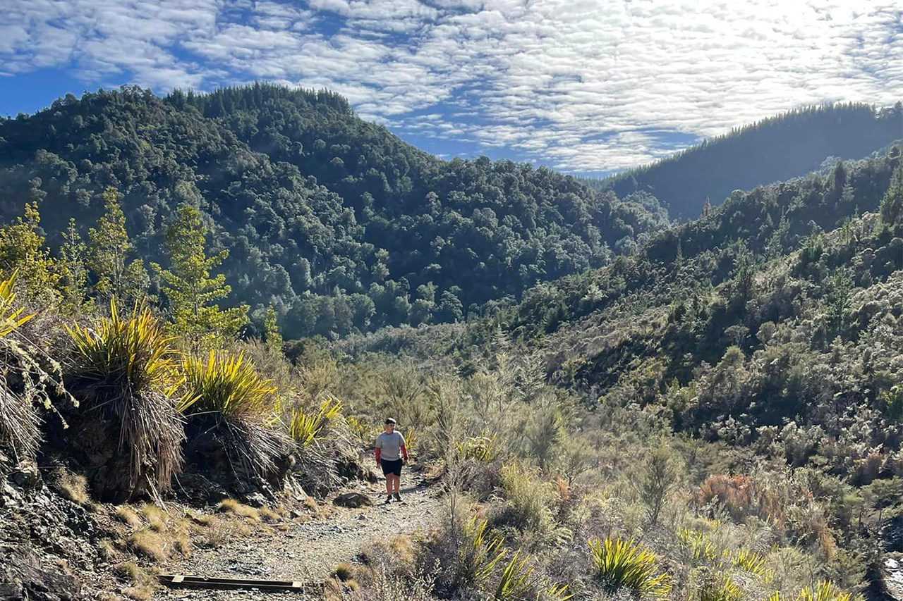
The track, named after geologist Thomas Ridge Hacket, follows the creek. When the valley narrows, the track sidles the steep slope above the creek. There have been major slips along this section, and new, steep tracks now bypass them. There is a picnic area at the junction of Miner River and Hacket Creek.
A few hundred metres on, the track crosses into the Dun Mountain mineral belt, where vegetation is smaller and outcrops of ultramafic rock jut out from the hillside above. Here, there’s the option of taking the Whispering Falls Track (1.5km return) – however, this was closed at time of publication due to slips.
Hacket Track continues along Hacket Creek through mineral belt scrub and soon enters a plantation of Douglas fir. There is another steep slip bypass here before the original track can be rejoined.
Thirty minutes upstream, at the junction with Browning Stream, a sign-posted track leads to Browning Hut. Continue on the right-hand track, Chromite Mine Track, for 1.1km. There is a final bridged crossing of Hacket Creek to reach Hacket Hut, which stands in a grassy clearing.
The six-bunk hut has plenty of room for tents outside. Te Araroa Trail continues east and south from here.

34 years of inspiring New Zealanders to explore the outdoors. Don’t miss out — subscribe today.

Questions? Contact us


