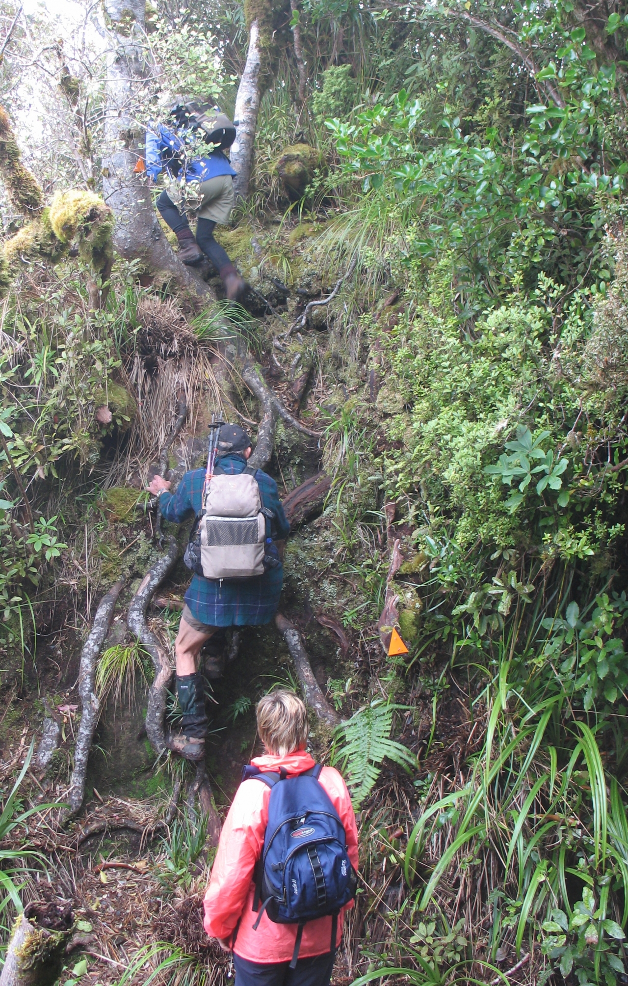
If you’re into a real bush experience, the Kaitarakihi Track might be the one for you.
The track winds its way steadily up a bush-covered ridge, crossing a steep rock face, climbed with the help of a massive chain, shortly before reaching the summit of Kaitarakihi at a lofty 852m.
If the weather’s fine, get the camera out to snap away at the ridges, troughs and peaks of the Coromandel Range.
This track is only sporadically maintained by DOC. The track is often hard to follow and bush lawyer and tree fall make it a more demanding proposition.


34 years of inspiring New Zealanders to explore the outdoors. Don’t miss out — subscribe today.

Questions? Contact us


