Drones are quickly starting to replace the need to use helicopters for aerial photography in the backcountry. Although an operator may have to walk to a site, drones still have many advantages. For example, where a photographer using a helicopter may only be able to afford one flight, drone operators can now wait for the perfect light before launching and can make multiple flights. They can also shoot at slow shutter speeds – something not possible in a shaky helicopter – and create complex panoramas and 360-degree images.
While some backcountry users will be opposed to the negative effects on natural quiet, drones often replace the need to fly into these places, create little noise in comparison to a helicopter and create no carbon dioxide emissions. Whilst flying my drone in the hills, everyone I have run into has been more curious than annoyed by my “upside-down flying lawnmower”.
DOC has taken a conservative approach to drone use and insists operators apply for a concession to fly from or over public conservation land.
This process is becoming streamlined and DOC has now released a list of preferred locations for drone use. This is an excellent opportunity for tourists who wish to fly a drone while on holiday in the front country. DOC treats drones as aircraft, and it is likely that permission will only be granted to fly drones in areas where aircraft are permitted to land and take off. Many popular tourist locations do not allow drones due to the negative effects on other visitors. It is also important to keep ecological sensitivity and disturbance to wildlife in mind when planning a drone flight or concession application.
Airshare.co.nz is an excellent first port of call for New Zealand drone flying information. The website has a great mapping tool to help work out where to fly, where permission is needed. Airshare also provides information on the CAA rules drone operators must follow.
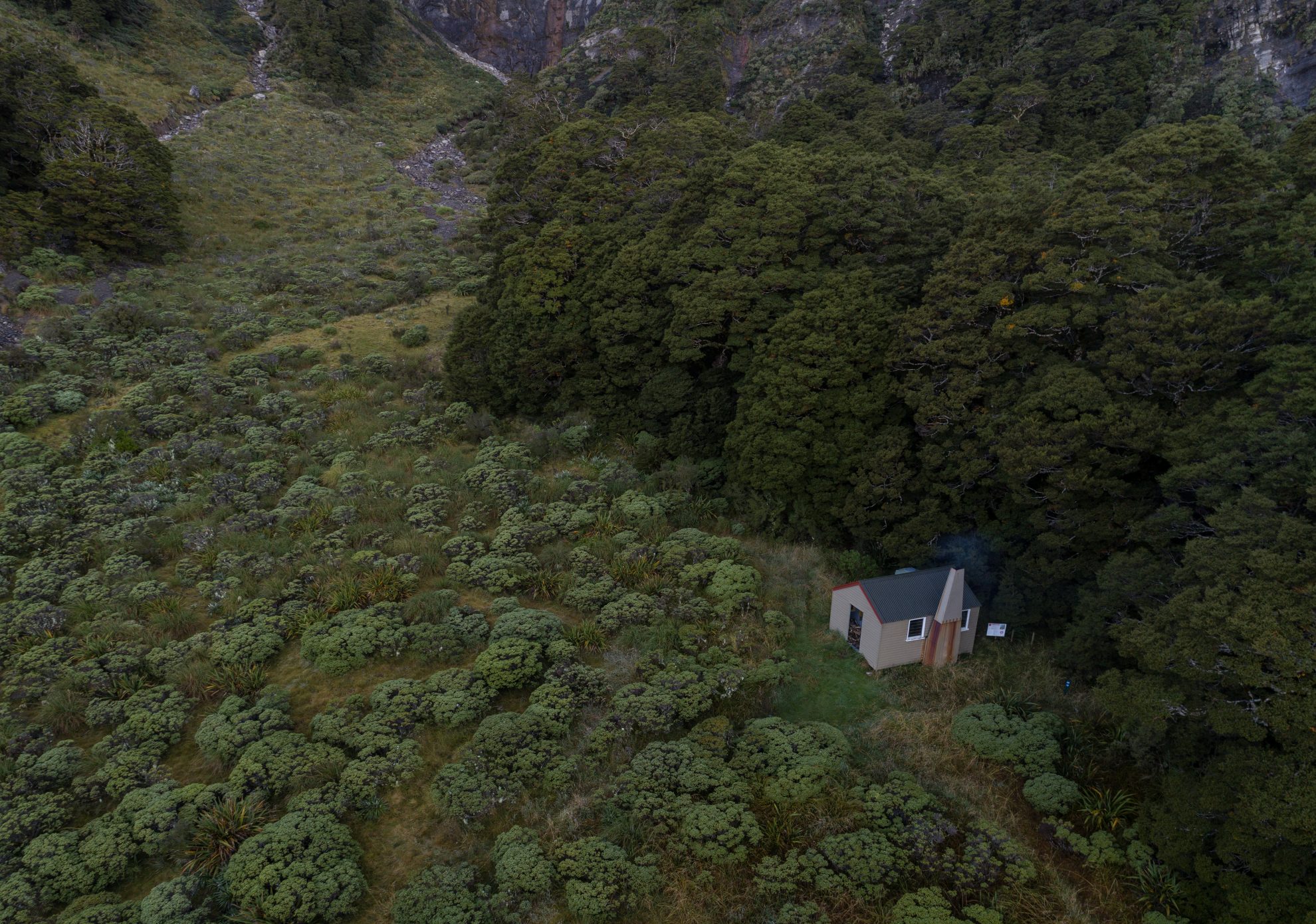
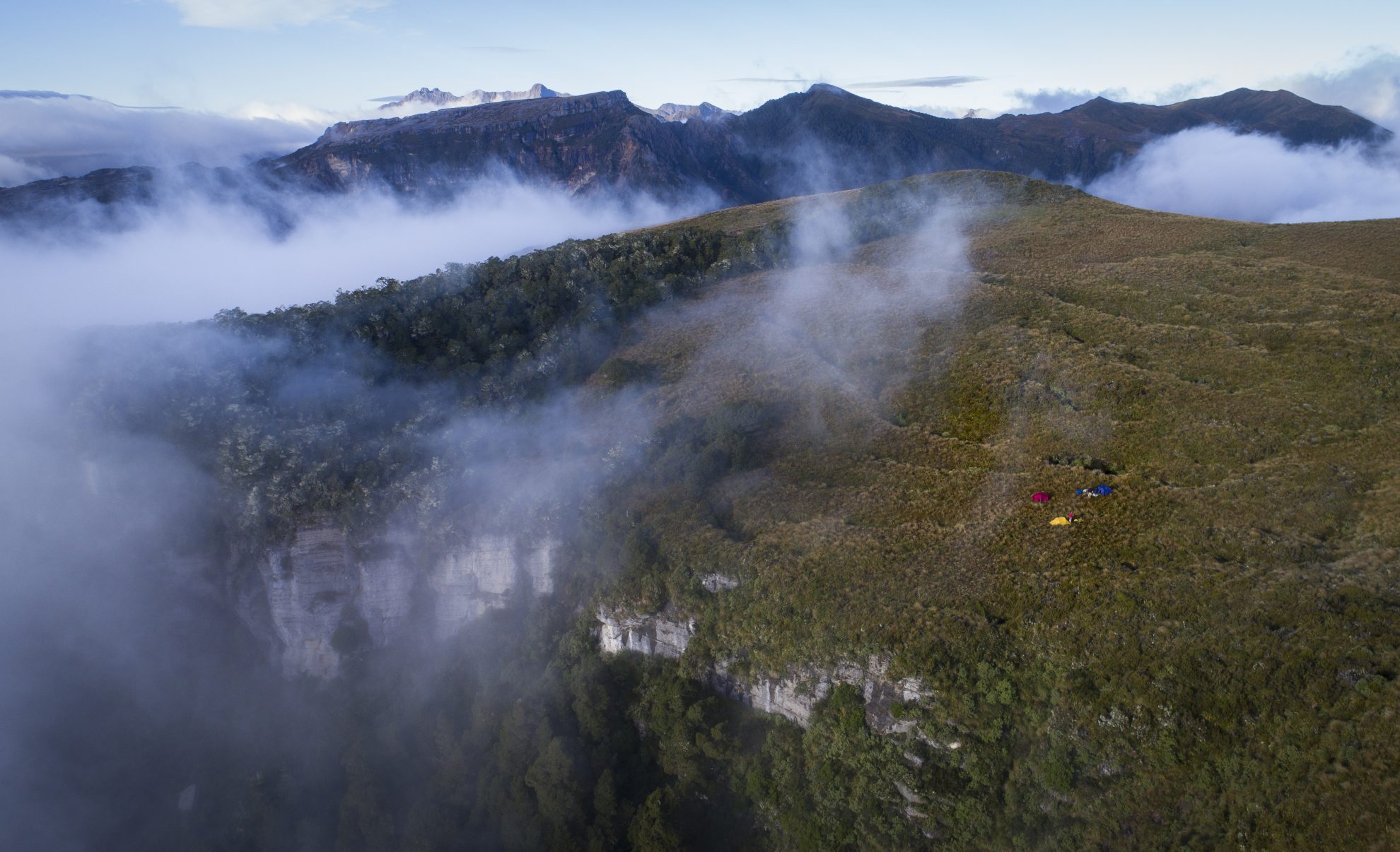
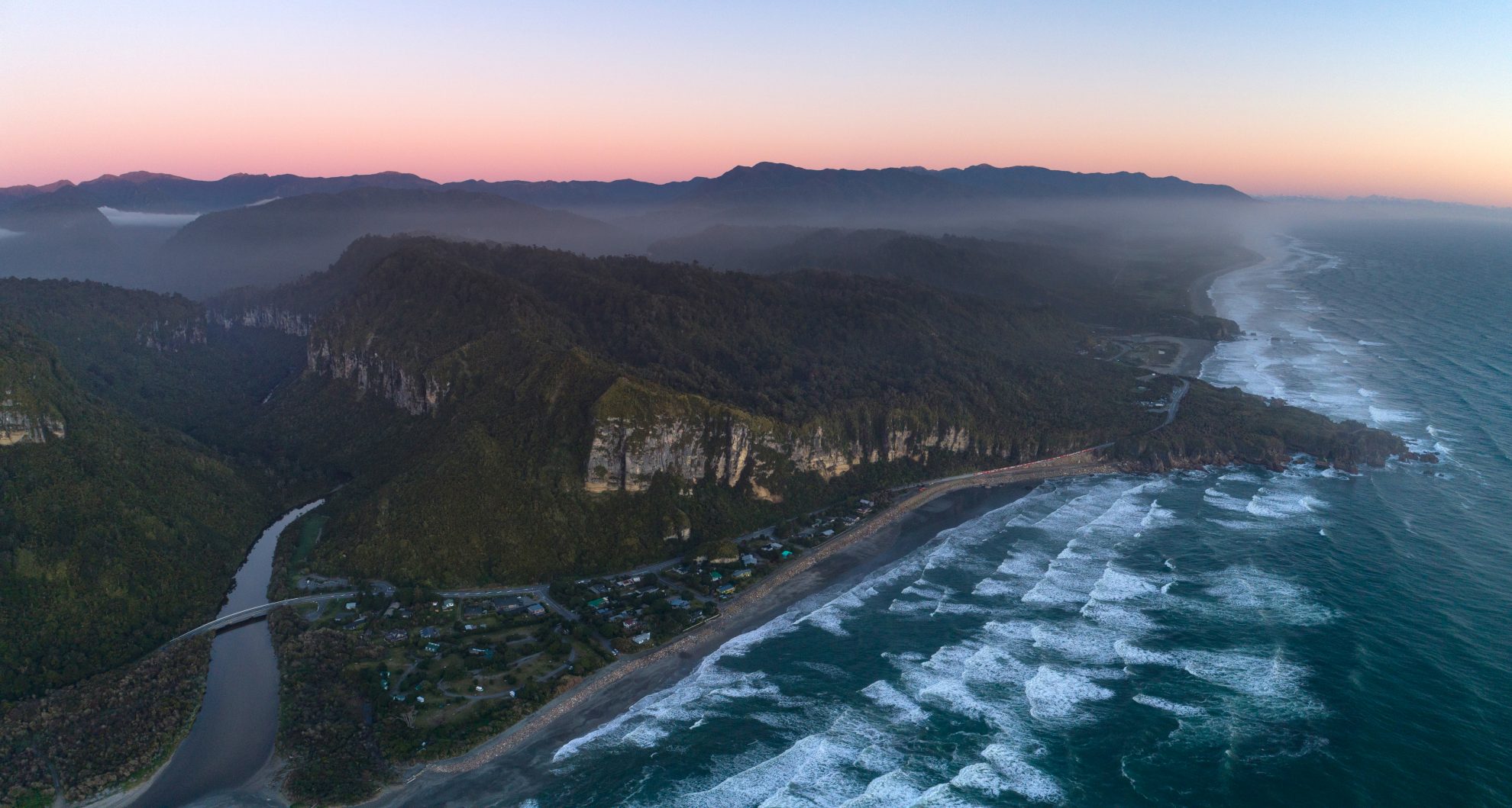
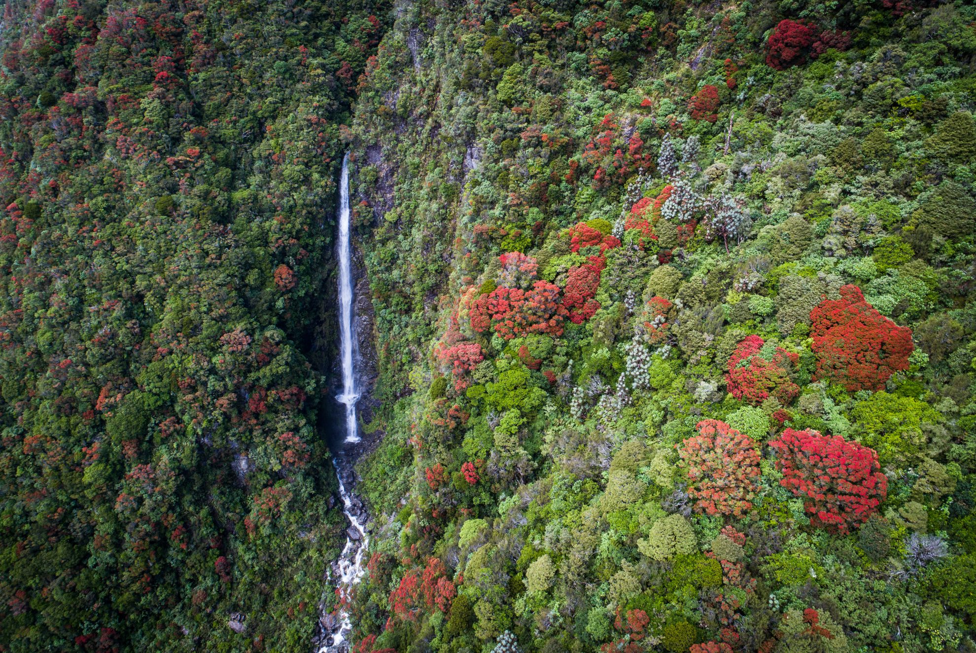
I recently began a journey to tramp into remote locations and capture fresh images of NZ’s backcountry. I photographed the dramatic karst on Mt Owen and the limestone on the Thousand Acre Plateau, both in Kahurangi National Park. My favourite images so far are of the winding Cascade River in South Westland and the new Paparoa Great Walk near Greymouth.
It was amazing to be able to fly in these mountain areas.