Image of the April 2012 Wilderness Magazine Cover Read more from the
April 2012 Issue
Home / Articles / Wild Trips

Straight up past nature’s gems

Peak summit (1240m) offers views of the surrounding ranges and lakes
Grade
Easy
Access
Signposted about 10km down Algidus Rd, off Lake Coleridge and then Homestead Rds
Map
BW20
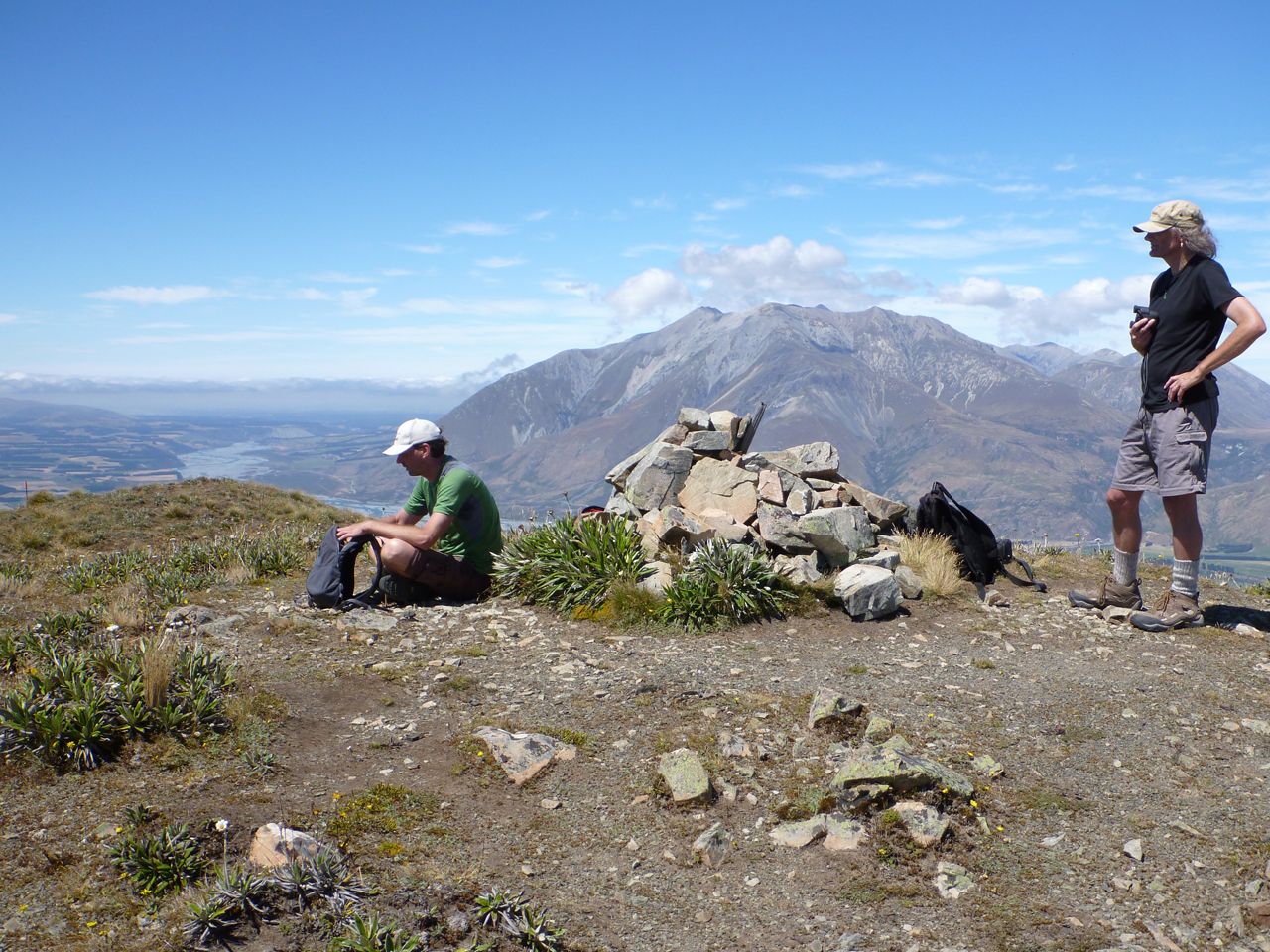
Peak Hill, Peak Hill Conservation Area

Leaving Christchurch the sky was smothered in clouds but, as is often the case when the easterly is blowing, by the time we arrived at the bottom of Peak Hill the clouds had been left behind, and amidst all the barren Canterbury farmland we found a stunning surprise. The hillside was covered in the bloom of native mountain daisies – I have never seen so many of them in one place before.

The track climbs the eastern slope and doesn’t bother with zigzags. Straight up the mountain it was, no mucking around, and before long we felt puffed and hot, but every stop revealed another little treasure of nature. Tiny ground-hugging herbs were studded with equally tiny flowers. We saw the odd pipit hopping around, and in places there were plenty of the curious native golden hunting wasps with their distinctive bright-yellow wings, which dig solitary burrows in the ground from which they emerged from and crawled back into as we watched.

By the time we reached the ridge, about an hour after we started, there were plenty of great views to be had. Lake Coleridge, Canterbury’s deepest lake, showed off its deepest blue and was relatively undisturbed by boaties given what a recreational hotspot it often is. To the west the Rakaia River sparkled in the sun, framed by the magnificent backdrop of the Mt Hutt Range. And once we gained the top, about two hours into the walk, we could see the Wilberforce River as its main body narrowly avoids flowing through Lake Coleridge and joins the Rakaia.

Standing on top of Peak Hill didn’t feel at all like being at 1200m, but our lungs (and heart rate) told a different story. We poured ourselves a coffee and enjoyed a quiet and relaxed moment, appreciating the view over the lake, and leaving all thoughts of the city and the rat race behind. In the distance we could still make out the odd patch of snow, or possibly small glacier, on the higher peaks.

The track is rated moderate on DOC’s web site, probably because it sticks to the at times rather narrow ridge, which would be exposed to nor’westers blasting through the Rakaia and Wilberforce valleys. There is no shelter from either wind, rain or sun, and with no water on the track it pays to take plenty along. With the gentle farmland surroundings it is very easy to underestimate the climb. However, if the weather does turn nasty it is possible to avoid the ridge and choose a more sheltered route on the lakeside of the track.

On the descent we had to try hard not to slip on some of the bare patches, where there is just loose rock over hard ground. The plentiful Spaniards and matagouri didn’t look inviting. But, as we’ve come to appreciate, you can’t call it a tramp if you’ve got nothing to show for it.

We set out to just do ‘something’ away from the city and ended up feeling refreshed in mind if not body, and having discovered a surprising little gem of nature in the process.

– Harald Breiding-Buss