


- Area
- Peak Hill Conservation Area
- Distance
- 2.47km
- Time
- 3hr
- Grade
- Easy/Moderate
- Access
- Signposted about 10km down Algid Rd, off Lake Coleridge and then Homestead Rds
- Map
- BW20
- GPX File
- Peak Hill (gpx, yo 9 KB)
- Your device does not support GPX files. Please try a different device.
The track climbs the eastern slope in a fairly straight line – no zigzags here.
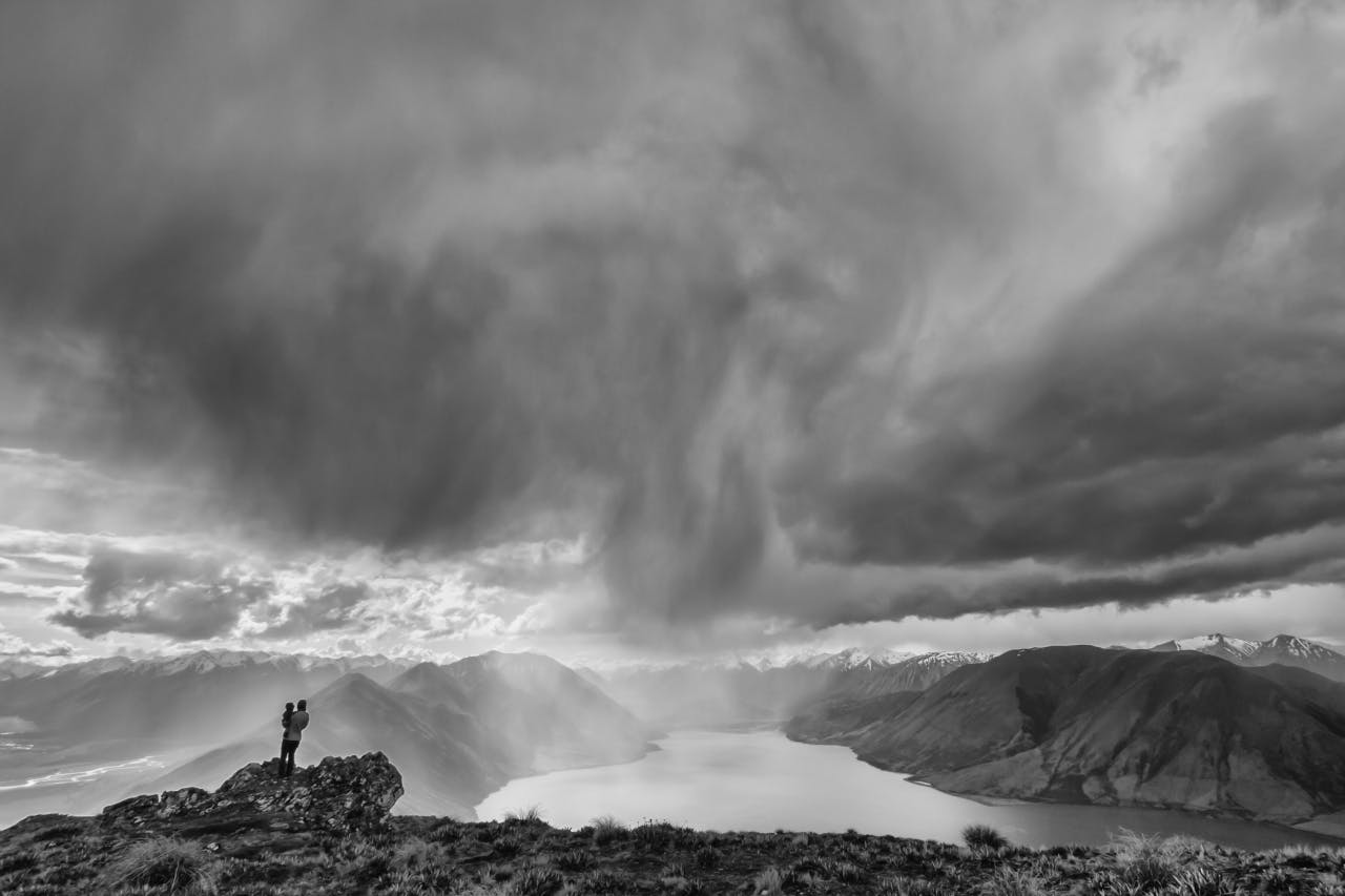
It takes about an hour to reach the ridge and from this point there are fantastic views: Lake Coleridge, Canterbury’s deepest lake, just below; to the west the Rakaia River framed by the magnificent backdrop of the Mt Hutt Range.
From the summit, gained after another hour or more, enjoy more views of the Wilberforce River and surrounding ranges.
The track is exposed to nor’westers blasting through the Rakaia and Wilberforce valleys and there is no shelter from either wind, rain or sun.
If the weather does turn foul it is possible to avoid the ridge and choose a more sheltered route on the lakeside of the track.
