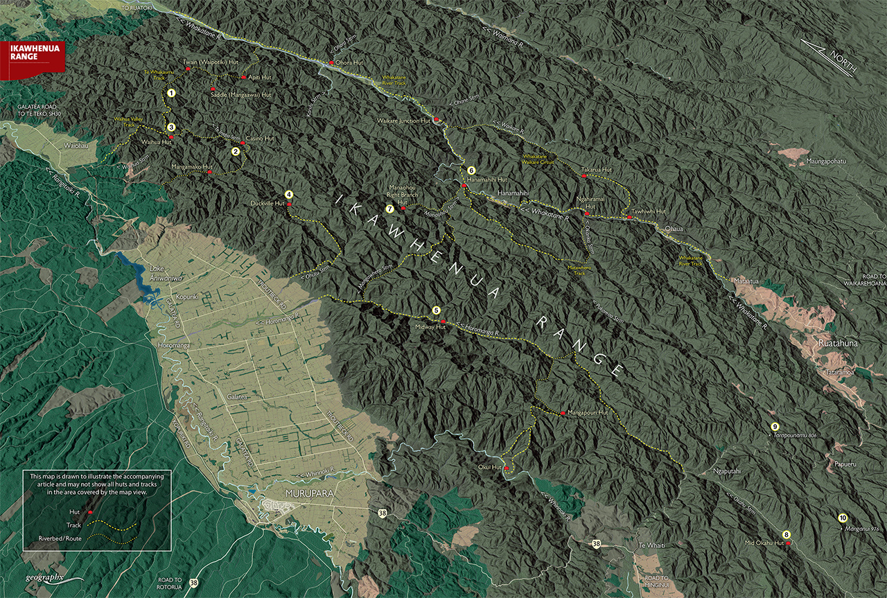
With more bends in it than an anaconda, the Ikawhenua Range snakes through the western side of Te Urewera. The range is almost entirely forest covered, with most peaks rising no more than 900m. Dividing the Rangitaiki and Whakatane Valleys, it stretches for some 85km to end at the north-eastern edge of Whirinaki Forest Park. […]
Trampers say decision to remove beloved hut failed to follow process
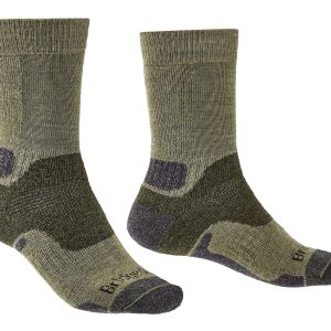
2026’s guide to outdoor socks
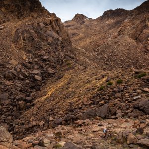
Roaming the red rocks
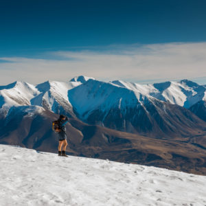
Foggy Peak, Korowai-Torlesse Tussockland Park
Subscribe!
Each issue of Wilderness celebrates Aotearoa’s great outdoors — written and photographed with care, not algorithms.Subscribe and help keep our wild stories alive.