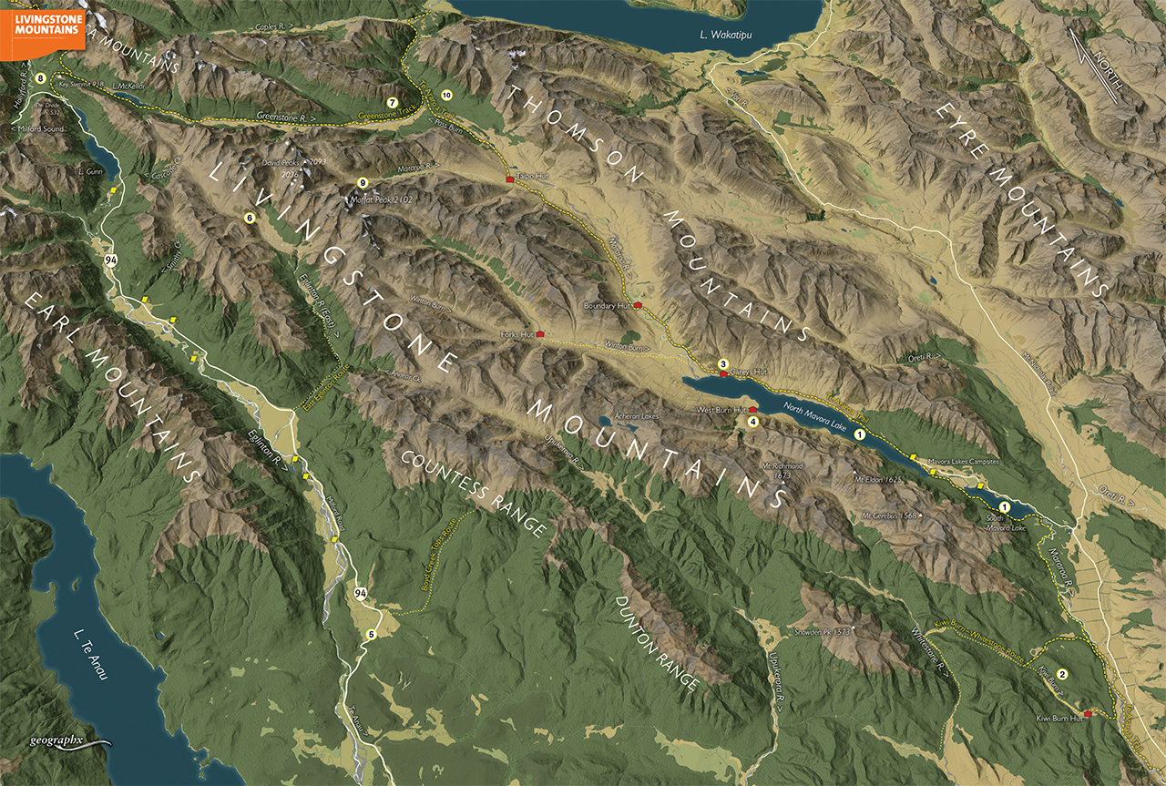
Stretching north from South Mavora Lake in Southland, all the way to The Divide where the Routeburn Track begins, the Livingstone Mountains form a substantial geographical barrier between the eastern boundary of Fiordland National Park and the drier regions of Southland’s mountain areas.
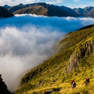
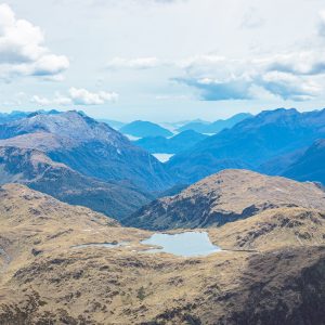
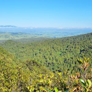
Pockmarked with lakes, innumerable summits, small snowfields, a latticework of catchments, and bordered in the south by two large high country lakes, this range provides enormous potential for exploratory trips, traverses, modest climbs and canoeing adventures.
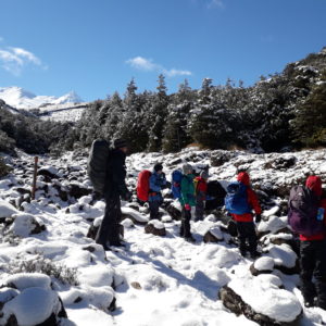
It is remote, seldom visited, grand in scale with just a few huts, and only in its northern reaches, where it meets the Routeburn and Greenstone tracks, are you likely to encounter other trampers.
Parties entering the region need to be self-reliant and well equipped.
1 Mavora Lakes
These two long, narrow lakes dominate the south-eastern aspects of the range and facilitate relatively easy access. They are also a focus for canoeing, hunting, mountain biking, and camping, particularly the southern lake as this has several large and well-sited DOC camping areas.
2 Kiwi Burn
At the extreme southern end of the range, Kiwi Burn offers easy access into the Whitestone River. Kiwi Burn Hut is just 90 minutes from the car park and swingbridge over the Mararoa River.
3 Careys Hut
This ex-musterer’s hut stands near the top end of North Mavora Lake and is on the Te Araroa Trail. It can also be reached by mountain bike or 4WD vehicle. It has a grand location and makes a good base for exploring the region.
4 West Burn Hut
Historic West Burn Hut sits at the foot of the range, opposite Careys Hut and is only accessible by boat or on foot around the head of the lake after fording the Mararoa River. The high tops and Mt Richmond can be reached from behind the hut.
5 Te Anau Milford Road
This major scenic highway runs along the western flank of the Livingstone Mountains for many kilometres – all the way from the Eglinton Valley to The Divide. As such, it provides many untracked routes into the range.
6 Eglinton River East Branch
The only tracked route onto the western flank of the range is up the Eglinton River East Branch. The track can be followed into the rivers open headwaters, from where access can be gained to the upper Cascade Creek region. From here, it is possible to travel north, crossing an unnamed pass, to Lake McKellar.
7 Greenstone Track
The northern end of the range runs parallel to the well-known and much-loved Greenstone Valley and its excellent hut and track system. Routes off the range into the Greenstone need to be chosen with care due to the steep and often bluffed faces on that side.
8 Key Summit
Key Summit, at the southern end of the Routeburn Track, is a popular viewpoint and also marks the northern extremity of the range. This is perhaps the easiest access point onto these tops, the ridge here providing many kilometres of rambling until the head of Cascade Creek.
9 Moffat Peak
Highest of the range at 2102m, Moffat Peak is remote and moderately challenging where it stands between the head of the Windon Burn and the East Eglinton. It has several small snowfields south and east of the summit.
10 Te Araroa Trail
New Zealand’s increasingly popular continuous trail runs just east of the range through the upper Mararoa and alongside the Mavora Lakes.