
High, barren, inhospitable and of immense proportions, the St Bathans Range in Central Otago cuts off the southern fringes of the Mackenzie Basin from the uplands of Otago and presents a formidable mountain barrier.
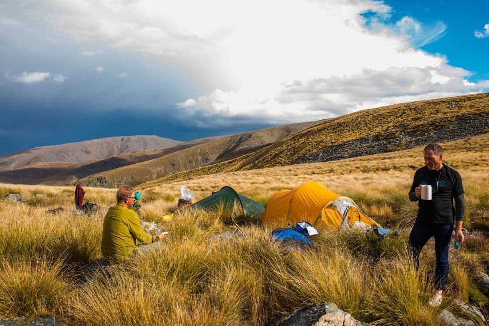
Almost treeless, the expanse of the range, which reaches a highpoint at spot height 2098m, is difficult to comprehend because the rolling tops and extensive ridge systems cover vast tracts of terrain with few, if any, points of reference for scale. Distances are huge and careful planning will be needed to take advantage of the moderate terrain and to allow for traverses which offer little in the way of shelter.
For trampers, mountain-bikers, 4WDers, cross country skiers and hunters there is plenty of opportunity for adventure over and around the range with a stunning backdrop that includes most of the high peaks of the Southern Alps.

1. Mt St Bathans
At 2088m, Mt St Bathans is not quite the highest point of the range. There are numerous approaches to the summit, all of which involve very long hikes of 12km or more from the valley floor. Views are incredible, shelter is sparse.
2. Point Height 2098m
This high point on the main range can be reached by heading north-west from Mt St Bathans or ascending the long ridgeline running around the northern side of Boundary Creek.
3. Point Height 1811m
At the northern end of the conservation area is a large plateau on the summit of Pt1811m. From here, Hidden Lake or Omarama Saddle can easily be reached.
4. Hidden Lake
An absolute gem of special beauty, this post glacial melt lake is found at the northern limit of the conservation boundary, before the range lowers to join the Wether Range, and can be reached relatively easily from Omarama Saddle. There are limited campsites at the lake shore.
5. Omarama Saddle
This is one of the major access points for the range from the north by mountain bike, 4WD or on foot from Broken Hut Road. The pass stands at 1273m and provides access to the West Manuherikia River and via Saddle Track to Little Omarama Saddle.
6.Top Hut
On the south side of Omarama Saddle lies the eight-bunk Top Hut, an ex-musterer’s shelter which is nicely sited for exploring the upper reaches of the Manuherikia River.
7. Boundary Hut
Further down the Manuherikia River lies Boundary Hut (eight bunks), also an ex-musterer’s hut, which has a great setting beside the river and sits near the base of two very long ridges which lead to Mt St Bathans and the main range.
8. West Manuherikia River
This attractive valley, dominated by tussock grasslands, has a 4WD access road running its full length, from Omarama Saddle to Hawkdun Runs Road at the southern entry to the park. It’s a popular route but is only open for vehicle use from Labour Weekend to April 30 each year.
9.Wether and Dunstan Range
These two smaller ranges, immediately abutting the main range, can be traversed to the Lindis Pass Highway with permission from the relevant landowners.
10. Blue Lake and St Bathans gold workings
No description of the St Bathans Range would be complete without at least a mention of the gold workings’ lake hidden in the hills at the southern extremity of the range. It is easily accessed by road and then on foot to the various gold workings.


