A stunning podocarp forest walk leads to the summit of Mt Te Kinga where there are 360-degree views of the Coast. By Anna Welch
Even if you only walked half an hour up the Te Kinga Track, the trip to Lake Brunner/Moana would have been worthwhile just to see the spectacular podocarp trees in the lower forest. Panels are set and describe the guardian kings of Te Kinga: tōtara, miro, kahikatea, rimu. The largest have diameters of over a metre at the base and are hundreds of years old.
The track can be roughly divided into three sections, broken by lookout points. A 20-30 minute walk following the contour of the lake comes to a bench with a view out across Iveagh Bay on the northeastern arm of the lake.
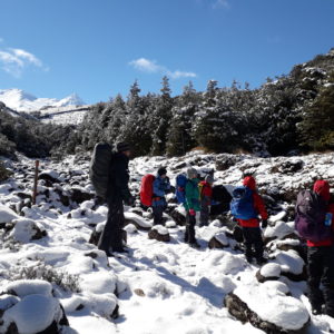
Beyond this first rest stop, the track climbs steadily and can be muddy. Gaiters are advised. Tangles of supplejack clog the spaces between the trees, twining up into the canopy.
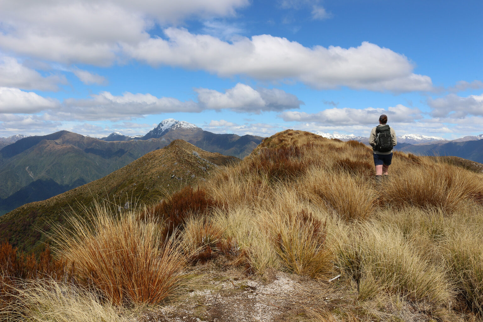
Two further viewpoints, a few hundred metres apart, are reached after 45-minutes. Here, a sign warns that the Te Kingi Track becomes Te Kingi Route and the way to the summit is for experienced parties only with the terrain being significantly steeper in places.
As the track ascends, rātā is everywhere, with some trunks as big as those of the podocarps. When they are in flower, the forest canopy will be overwhelmed with swathes of bright red. To the left Jays Creek runs down a narrow gully, miniature waterfalls falling into patches of sunlight where hook grass and mountain holly flourish.
The bushline is heralded by a lone mountain neinei at the side of the track, but before reaching open ground, the track passes through a stunted forest of yellow pine, after which it’s a final ascent through scrub and tussock to the summit ridge.
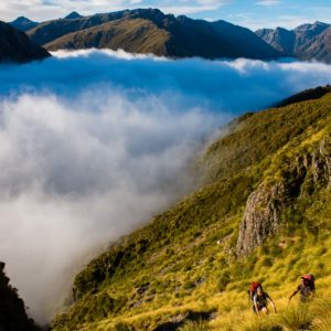
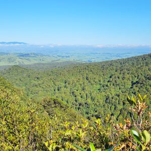
There’s a survey marker at 1196m, with the true summit further along the ridge at 1204m. As the ridgeline is crested, the crenellated bulwark of Mt Alexander towers ahead, above the Taramakau River with the peaks of the Spenser Mountains just visible in the far distance. To the north and west, views extend over Moana, reaching past the battlement of the Paparoa Range to the mouth of the Taramakau and the Tasman Sea.
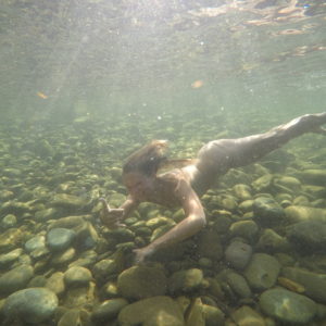
Below Te Kinga, Lake Brunner/Moana lies pale blue and glinting in the sunlight. After the final descent, a swim in those waters is the perfect way to cool off.


34 years of inspiring New Zealanders to explore the outdoors. Don’t miss out — subscribe today.

Questions? Contact us