An accessible trip through virgin podocarp forest that rewards trampers with panoramic views of Lake Taupō, the Waikato District, Mt Pirongia and the Kaimai Range.
By Stuart Hill
The first 300m are an easy stroll with bridged streams to a small stone cairn which marks the geographic centre of the North Island. This point was first located in November 1961 and the cairn has detailed notes telling how the point was arrived at.
At the cairn, turn right (north-east) to follow the track markers up the spur of the mountain. After a relatively easy first kilometre, the track then climbs steadily. There are several small streams, none bridged but none presenting any real obstacle. At points, as the forest thickens and cover increases, take care to locate the orange markers to stay on track.
The track takes in a variety of forest that thickens and changes from towering rimu, matai and tōtara to kamahi as altitude is gained. In many places, there are substantial hanging mosses and epiphytes to add to the sense of an ancient forest. There is a good chance of seeing werewere kōkako, the bright blue mushroom that features on the $50 note.
The forest is also a kōkako stronghold and numerous other bird species are present including karearea, kākā and kereru, all more usually heard than seen due to the heavy forest cover.
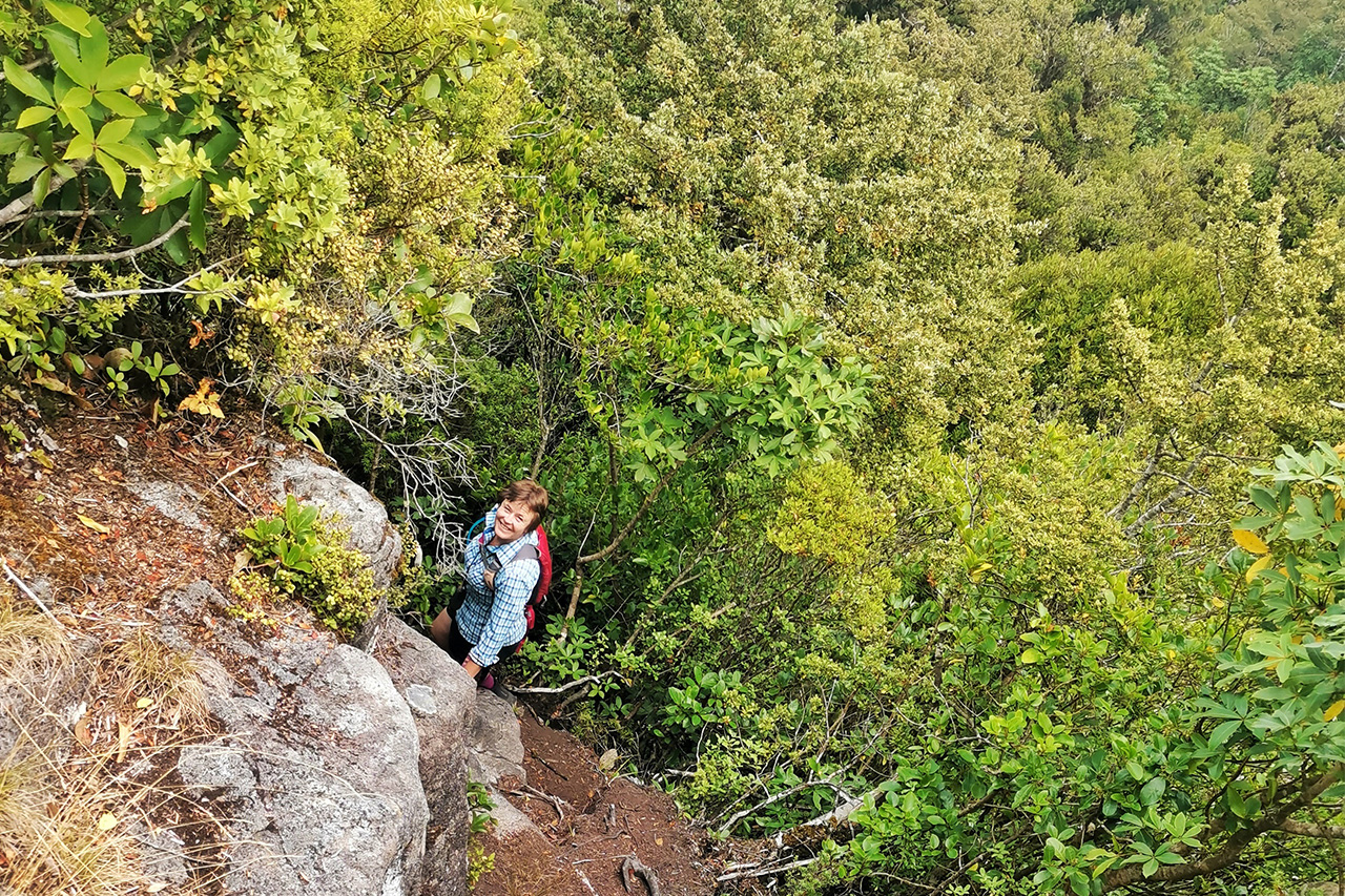
At the 940m contour, the track turns east to skirt the peak’s southern high point. It then curves north to pass over this false summit where a small plateau leads to a short descent to a saddle beneath Titiraupenga. At that point, the track changes from mainly smooth forest matter to some exposed and slippery rocks and roots that do require care.
Glimpses can be had through the trees of Lake Taupō and the surrounding area. After a short scramble through a rugged section of roots to regain the height lost to the saddle, the track abruptly meets the Arataki Track (disused) at the base of the summit rock. At this point, turn right (south-east) and walk 50m to a rocky outcrop that stands above the track, scramble up this outcrop to a broad flat area that has extensive views of the shoulders of Mt Pureora, Lake Taupō, the Waikato Region and Mt Pirongia. On a clear day, the Coromandel and Hunua Ranges can be seen. Return via the same route.
Respect the taonga status of the summit rock and do not climb it.


34 years of inspiring New Zealanders to explore the outdoors. Don’t miss out — subscribe today.

Questions? Contact us


