This full day trip is an energetic circuit over the summit of Mt McKerrow, with a striking diversity of forests and views of Wellington Harbour.
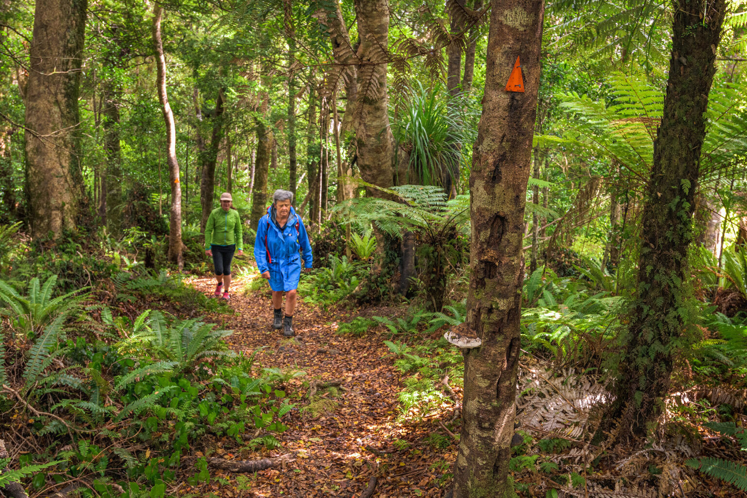
From the Catchpool car park, walk the Ōrongorongo Track for 1-1.5hr before the signposted McKerrow Track branches off. This climbs steadily through mixed beech podocarp forest, with many ferns in the understorey and stunted mountain beech forests near the summit (706m).
Titipounamu (rifleman) are commonly heard (but less often seen) in the area.
While the summit trig offers no views, a short distance down the Clay Ridge Track is a sun-welcoming lunch spot with broad views over Wellington Harbour and sometimes the Kaikoura Ranges.
At Clay Forks, a nicely benched Graces Stream Track leads back to the car park.
Each issue of Wilderness celebrates Aotearoa’s great outdoors — written and photographed with care, not algorithms.Subscribe and help keep our wild stories alive.