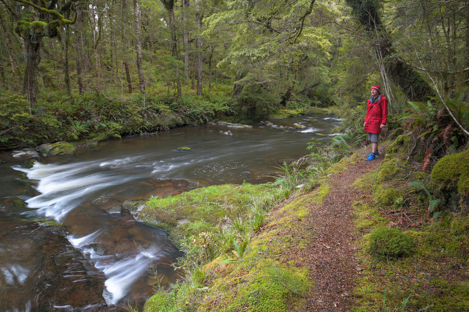
This is an easy riverside bush track taking walkers through one of the largest remaining forested areas of the eastern South Island and passing exquisite cascades of the Catlins River. The endangered mohua/yellowhead lives in the area, so listen for its distinctive chattering call.
The Catlins River originates in the Beresford Range and gathers strength as it flows through native forest to disgorge into the tidal Catlins Lake. A pleasant track leads beside the river for a considerable length, passing through largely native beech forest.
Walking the full one-way track between The Wisp and Tawanui Campsite will require suitable transport arrangements, but shorter sections can be tackled as return journeys. The top half of the river is the more scenic, as the lower half passes sections of plantation forest. Major river crossings are bridged and in summer the native scarlet mistletoe (Peraxilla colensoi) will be in bloom.
The Wilderness 40 Best Huts: 12 Top North Island Huts
Taking on the Tin Range
Subscribe!
Each issue of Wilderness celebrates Aotearoa’s great outdoors — written and photographed with care, not algorithms.Subscribe and help keep our wild stories alive.