The eastern ridge of the Crown Range provides a picturesque gateway to the Pisa Range offering mountainous views of the Queenstown and Wānaka regions. This route is popular with mountain bikers and hikers. By Lee Johnson
At the back of the Crown Range summit car park, a wide orange-poled track begins ascending to the ridge. It zig-zags high above the Crown Range Road showcasing panoramas of the Queenstown basin and the back of The Remarkables mountain range. Views south, of the Gibbston Valley, also open up.
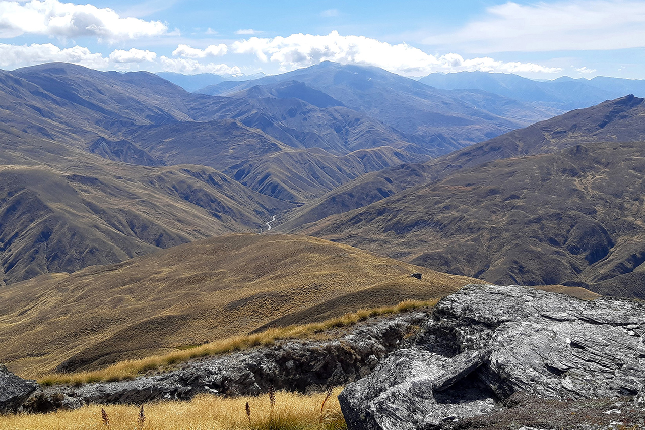
Further up, the gradient eases and a beautiful unmarked viewpoint is reached just north of the track at Mt Hocken (1375m). From here, the track ascends to Rock Peak via a wide marshy ridge above Tyre Gully. A DOC signpost marks the route to Tuohys Saddle and there’s an option to climb 60m west to the summit of Rock Peak. Turn right for a short grunt to the summit radio tower, where there are panoramic views from the Pisa Range in the northeast to the Crown Range Valley and Wānaka to the northwest. The summit overlooks the Gibbston Valley in the south and the Wakatipu Basin lies to the west.
Returning to the DOC signpost, the route sidles south of the ridge. The track is undulating until it gently begins a consistent ascent to Mt Allen (1492m), the third peak. Another signpost shows a path to Waitiri Station, however, no public access is allowed.
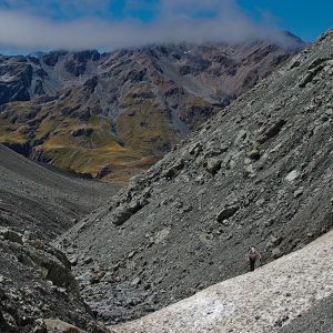
Continue following the path to Tuohys Saddle as it descends to the ridgeline leading to the route’s highest point Quartz Knoll (1593m). The terrain begins to mimic typical Pisa Range, out-of-worldly views across a rocky baron route. It’s stunning, with sweeping vistas and incredible rock formations.
After a short uphill grind, Quartz Knoll is reached. The wide summit is surrounded by stunning landscape with the rocky tops of the Pisa Range to the east and the large peaks on the Crown Range to the west. The Remarkables mountain range tops can still be seen in the distance to the south. Visible to the east of the summit are several obscure rock formations, which are well worth visiting by a short off-track descent.
The ridge continues past the summit to Pt1573 before descending to more rock formations at Pt1429. From here, a short ascent leads to the final peak, Queensberry Hill (1531m). To reach the true summit, the track must be left to the east around the 1500m mark.
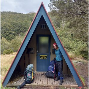
The track then descends to Tuohys Saddle. Heading left (north) from here follows the western branch of the Meg Hut Pack Track to Tuohys Gully car park where transport can be arranged to return to the Crown Range summit car park. A right turn leads to the Roaring Meg Pack Track and onto the Gibbston Highway.
After climbing a stile, the track descends towards Meg Hut.
There are three options for the next day: continue along the valley via the Cardrona-Cromwell Pack Track, return from whence you’ve come or, for a shorter option, head to Tuohys Gully car park to meet prearranged transport.
Note, there is no shelter or water on the route until Meg Hut.