Travel broad tussock tops beyond the popular Rangiwahia Hut to a cosy six-bunker nestled in the Ruahine interior.
From the Renfrew Road car park, follow the well-benched Rangiwahia Hut Track as it gently climbs towards the tops of the Whanahuia Range. The track zig-zags over an old slip and crosses an impressive arched bridge spanning a creek far below. Along the way, gnarled trunks of pāhautea mountain cedar contrast brightly against the steep valley faces.
There are expansive views back over the Manawatu as forest gives way to leatherwood scrub, then tussock, where Rangiwahia Hut is perched 1.5–2hr from the road end. A worthwhile destination on its own, this hut sits on the site of a bygone ski field and is well situated for stunning sunsets.
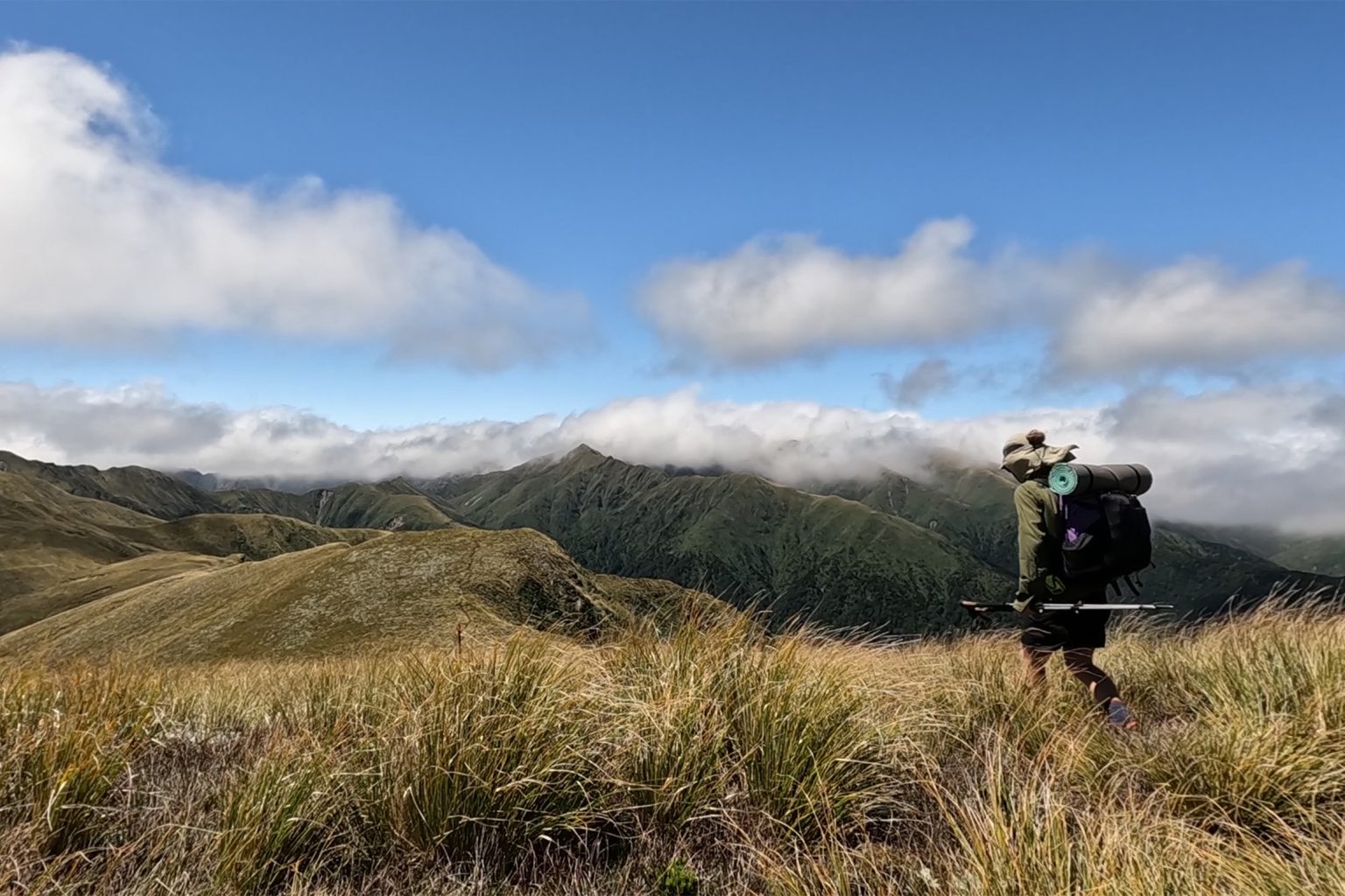
Follow the poled route east along the open tussock spur that climbs towards the ridgeline of the range, about 3km away. Most of the way from here is exposed and would be challenging in bad weather.
The gradient steepens until the junction for Mangahuia to the south, and Triangle Hut to the north, is reached. Take the latter, and in good visibility, enjoy the views of the park interior as the spur to be travelled down to the Oroua River valley becomes apparent.
The route becomes slightly more rugged now, and descending through the slippery tussock might require crampons in winter. Look for the large orange triangle at the bushline, marking the beginning of the forested section of the some 600m descent. Tight scrub opens up to attractive, mature beech forest, and eventually Triangle Hut can be seen in a clearing through the trees.
Cross the Oroua River, straightforward in normal flow, to reach your destination after 4–6hr.
Triangle Hut was renovated by Backcountry Trust volunteers in February 2024. It sleeps six, with adequate camping space around it. The location is attractive, situated on the confluence of tributaries flowing down from high points Mangamahue to the northwest and Te Hekenga to the northeast.
Return back up the spur to the Whanahuia Range. A partial loop can be made by continuing south at the junction to Mangahuia and walking Deadmans Track, although that route was not taken on this trip.


34 years of inspiring New Zealanders to explore the outdoors. Don’t miss out — subscribe today.

Questions? Contact us


