Only twenty minutes’ drive from Palmerston North, the Sledge Track was created from one man’s vision and thousands of hours of volunteer work. By Anna Sophia
Local farmer Ian Argyle was the driving force behind the track to Platinum Mines, in April 2003. As a young man, taking stock through the valley, he would stop to rest at Black Bridge where the Sledge Track begins. Many decades later, after learning the bush hid the remains of a narrow 800m road built in the 1880s, Argyle and other volunteers cleared the track, naming it for the width of a horse-pulled sledge.
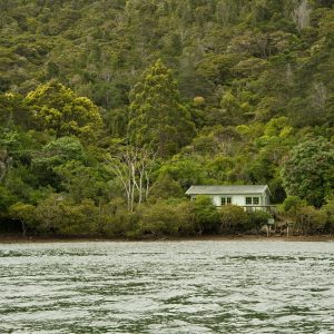
The picturesque Kahuterawa Stream meanders beside the track for the first hour of the walk. This part is in good condition, there are a few sets of stairs and patches of uneven ground but it’s a pleasant amble. It’s shaded and has seating in numerous places to rest and enjoy this magical place.
At The Elevation, where Ross Creek joins the Kahuterawa Stream, the track veers left and gradually becomes a more challenging walk.
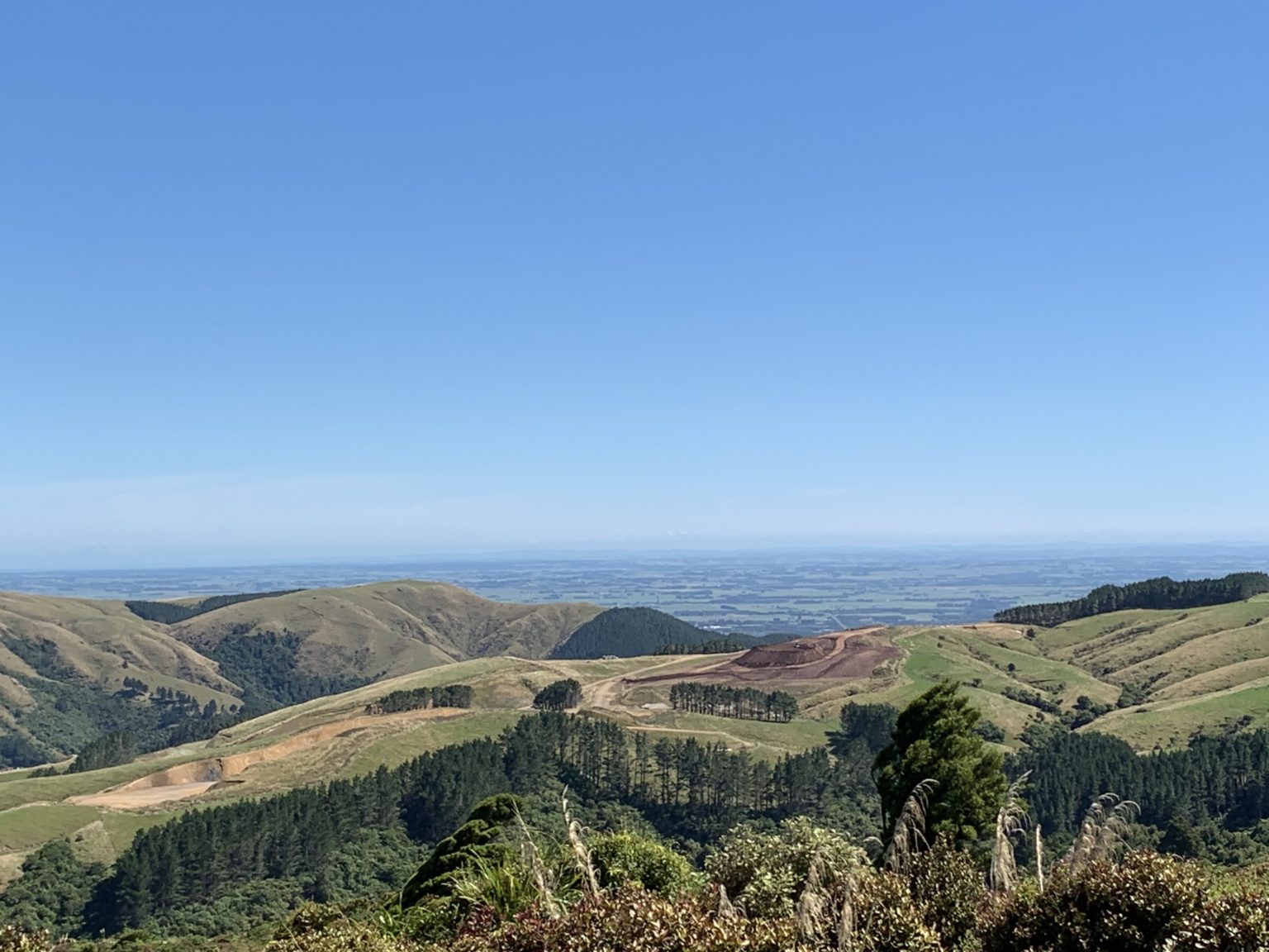
For the next hour, it’s a steady uphill climb, gaining 320 vertical metres, to the Toe Toe Track junction. Initially, there are stairs with handrails but the walk becomes more rugged the closer it gets to the junction. The junction is exposed without any bush shelter, but there’s a picnic table and views out over Manawatū farmland.
There are information boards about the walk and also about toetoe plants and pampas grass. The board suggests taking the Toe Toe Track in a clockwise direction to where the track connects with the Platinum Mines Track. If you choose this direction, parts of the track toward the mines are overgrown and wearing gaiters is recommended.
The Platinum Mines Track is a short loop extension at the northern end of the Toe Toe Track. It’s possible to see both vertical and horizontal mine shafts where prospectors searched for platinum ore in the late 1800s and early 1900s. Pack a torch to explore them and stay on the established tracks in case there are undiscovered mine shafts in the area.
When you have finished exploring the mines, re-join the Toe Toe Track for a spectacular walk through forest back to the junction with Sledge Track. It’s then a matter of retracing your steps back to the car park.


34 years of inspiring New Zealanders to explore the outdoors. Don’t miss out — subscribe today.

Questions? Contact us