Tarns, tops, outstanding views and an easy scramble onto an accessible Fiordland summit make this an appealing day tramp.
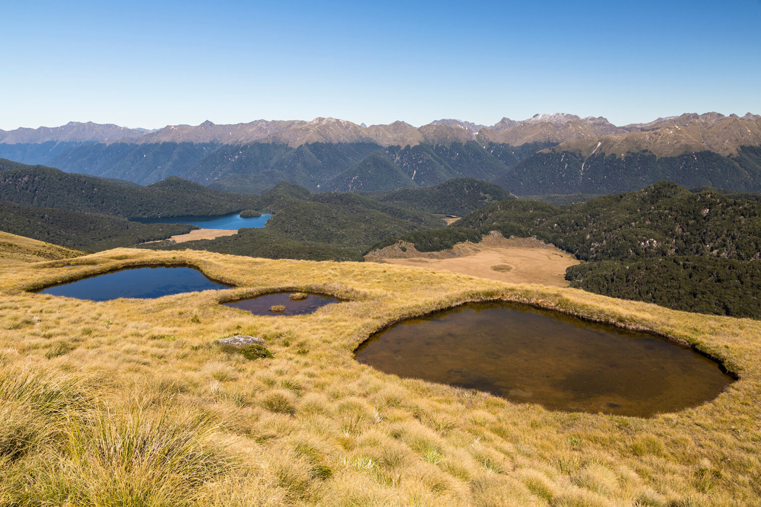
The Borland Road provides access into the mountains south of Manapōuri. At a layby at the summit of the road, pick up a track that leads through a short section of beech forest. After a short 30-minute ascent, this opens onto tops, with views towards Island Lake. Follow the ridge on unmarked tops to reach a series of tarns. Continue the gentle climb, arcing around into a sizeable basin with more tarns directly beneath Mt Burns. The terrain becomes increasingly rocky and the scramble up the south-west ridge of Mt Burns narrows towards the granite 1645m summit.
Expansive views unfold. Green Lake, formed by a colossal landslide 13,000 years ago, lies in a large depression, surrounded by the innumerable summits of the great, vast Fiordland wilderness.
The Wilderness 40 Best Huts: 12 Top North Island Huts
Taking on the Tin Range
Subscribe!
Each issue of Wilderness celebrates Aotearoa’s great outdoors — written and photographed with care, not algorithms.Subscribe and help keep our wild stories alive.