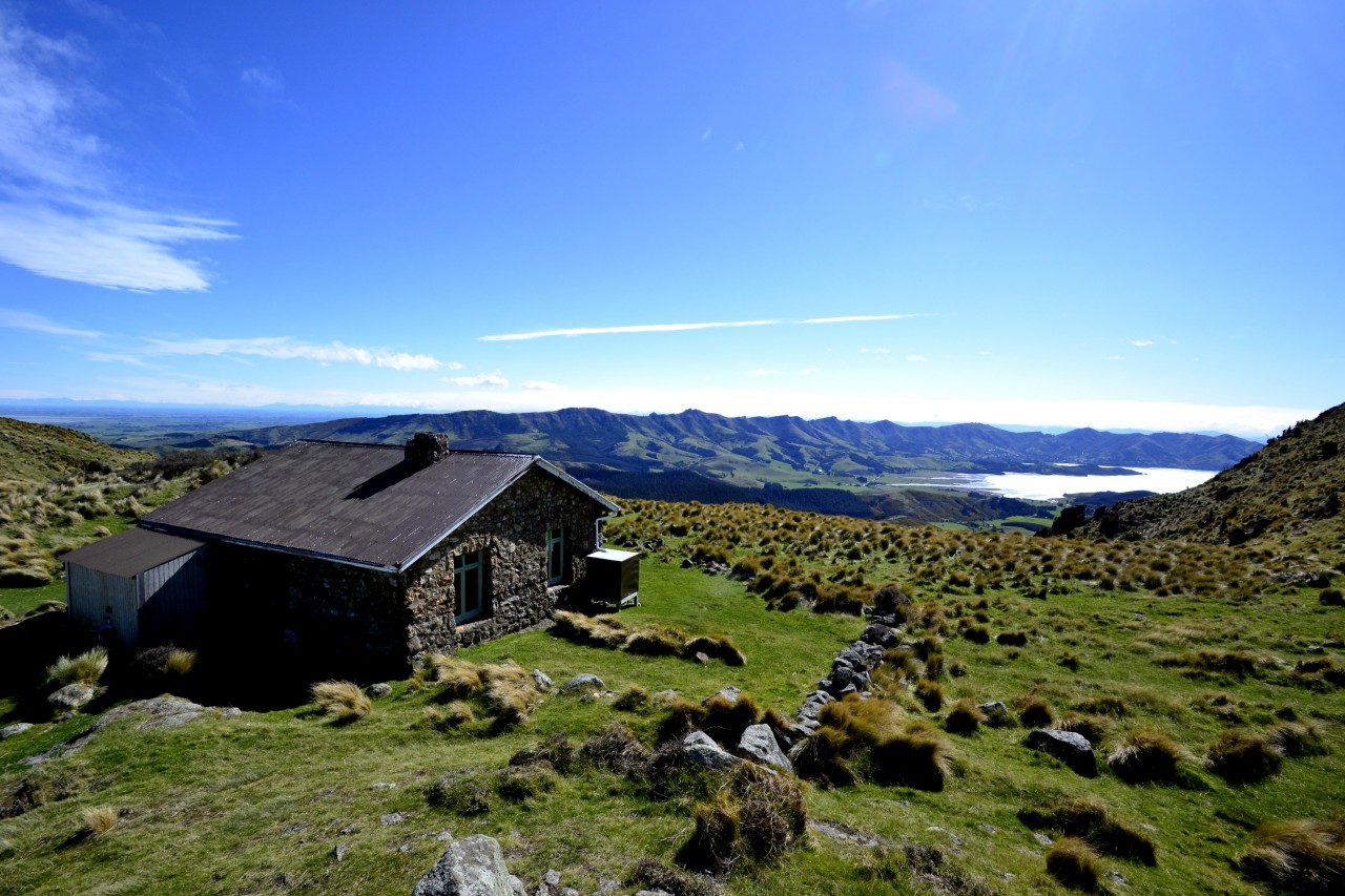
Back in the 1910s, conservationist Harry Ell dreamed of a network of roads and walking tracks open to everyone. Part of that dream was for the establishment of a summit road from Christchurch to Akaroa across Banks Peninsula. Alongside the road, a series of 14 rest houses were to be built to provide shelter for […]
Dirt bike trial on Tongariro Northern Circuit gets approval
The 2026 Wilderness Outdoor Photographer of the Year competition
Knockin’ on heaven’s door
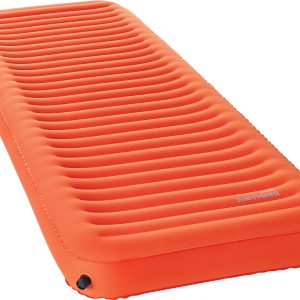
The 2026 guide to sleeping mats
Te Araroa’s screen legend
Subscribe!
Each issue of Wilderness celebrates Aotearoa’s great outdoors — written and photographed with care, not algorithms.Subscribe and help keep our wild stories alive.