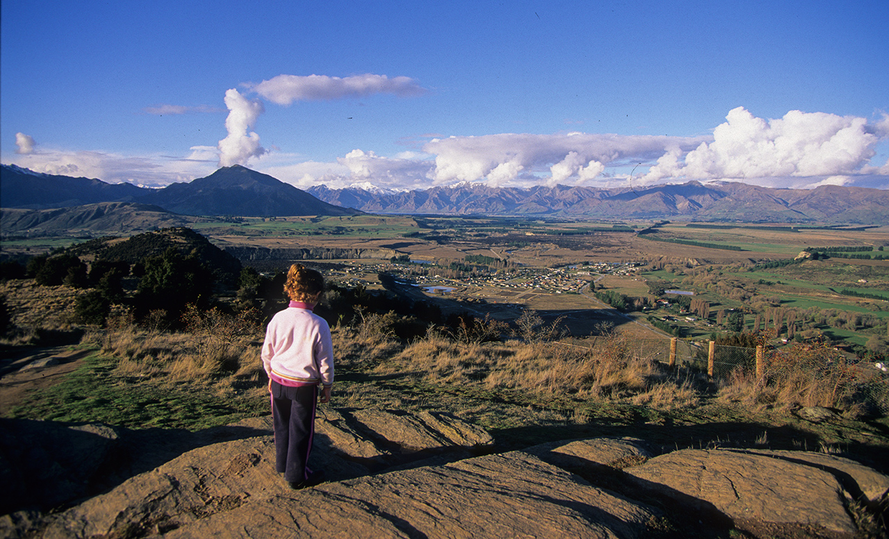
Mt Iron, 549m, is perhaps Wanaka’s most well known, and loved, trail. It would certainly seem so from the number of tourists, locals, runners, children, dogs, and even paraponters you can encounter here at any time of day on this brief, though rewarding, hike to the summit viewpoint.
The route up follows a circular path, heading north from the roadside car park before zigzagging up the western face through kanuka forest to gain the broad, easy-angled summit plateau along which the trail climbs, east, to the summit.
Seats and information panels are located here to aid in identifying the landscape arrayed below, which, with its variety and depth has much to divulge of its geologic past.
The high rocky summit of Mt Iron was once an ,island, surrounded by a sea of ice pushing out from the immensely deep beds of Lakes Wanaka and Hawea, which it had gouged. The Grandview and Pisa ranges, east and south, formed a natural fence, forcing the ice into the fissure of the Clutha Valley which it deepened as the tongue narrowed.
Mount Aspiring, Mt Alta, and the peaks of the Matukituki Valley are all easily seen from here as well as a great chunk of Lake Wanaka, the Clutha Valley, and the Pisa Range.


34 years of inspiring New Zealanders to explore the outdoors. Don’t miss out — subscribe today.

Questions? Contact us