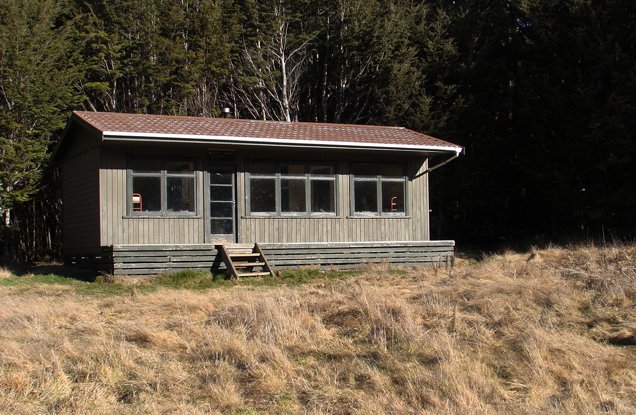
Located in the Mavora Lakes Park, an impressive landscape of mountains, lakes, forest and tussock grassland, recognised as part of the Te Wahipounamu/South-West New Zealand World Heritage Area, is Kiwi Burn Hut.
Tucked in amongst the lush Snowdon Forest, Kiwi Burn Hut is a little gem and ideal for introducing families and new trampers to the backcountry, as well as being a refuge for those needing a shot in the arm.
From the access point signposted on Mavora Road, cross the swingbridge over the Mararoa River. Views of the Mararoa River, the Livingstone and Thompson mountains are frequently visible from between the trees.
The track is very easy underfoot with a few undulations to keep you honest.
Within an hour the track winds away from the river and before too long arrives at a large clearing with the Kiwi Burn rambling through the tussock-clad landscape. Just around the next corner is the hut, tucked up amongst the trees.
To make the trip a loop, continues up the Kiwi Burn, around hill 805, to a junction and a track heading east and south back to the car park.


34 years of inspiring New Zealanders to explore the outdoors. Don’t miss out — subscribe today.

Questions? Contact us