Enjoy spectacular views on this Bay of Plenty coastal walk. By Stacey Walden
The track starts at the northern end of Waihī Beach, past the surf club. At high tide your feet may get wet on the way to the trackhead. The trail can get muddy after significant rainfall and the track is not as well maintained after Orokawa Bay. Take care in exposed places.
Walk up along the cliffs towards Rapatiotio Point. At the top a 2min side track offers views back to the beach and out towards Tuhua Mayor Island.
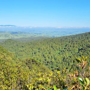
Follow the coastline northwards above Shark Bay and cross Oukori Stream before climbing to a bench with spectacular views of Mt Maunganui.
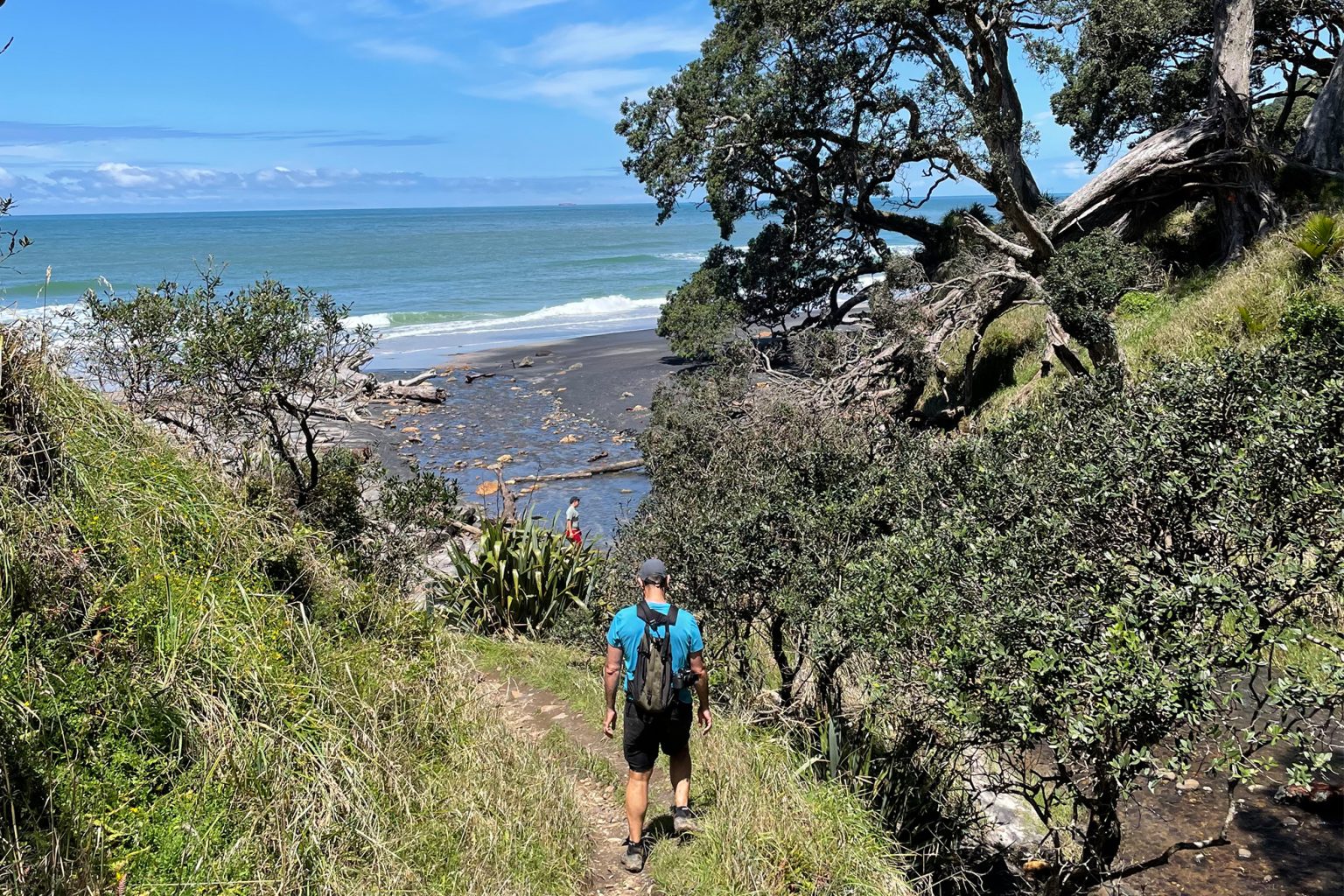
From here the track descends through a grove of nīkau palm to Orokawa Bay. On the way down are towering pōhutukawa, a toilet and the opportunity to watch surfers riding the waves. The beach is considered safe for swimming.
At the north end of the bay the track crosses Orokawa Stream and climbs steeply. At the top a side track heads west to William Wright Falls – about 2km return. Otherwise, stay on the undulating Orokawa Homunga Bay Track, which continues along the coast. Pīwakawaka and tūī can be heard and gannets are sometimes seen plunging into the ocean.
Descend to Te Puru Creek and note spectacular rock formations when crossing Boat Bay Stream, and also a waterfall which plunges into the ocean.
The track continues to wind around the headlands for another 1.2km to Homunga Bay, a popular fishing spot. From here, you can either retrace your steps to Waihī Beach or climb the steep 2km track to Ngatitangata Road.

Already a subscriber? Log in
Subscribe to read this article immediately and unlock exclusive 10-15% discounts at NZ’s best outdoor stores.
Cancel anytime.

Questions? Contact us