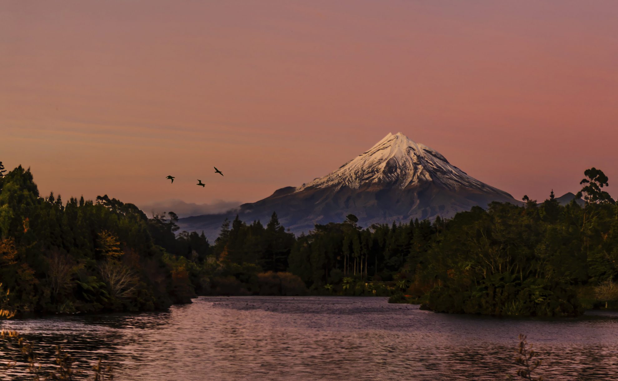
Lake Mangamahoe has a well sign-posted 6km circuit that undulates around the lake shore. It passes radiata pine forest, mature ornamental tree plantings, pockets of regenerated native bush and some impressive viewpoints. Perhaps the best is a bit more than halfway along Lake Road, at a turn-around/car park point giving a view south, across the lake, to the mountain. Another vantage point is easily reached on a short walk beyond the northern end of Lake Road along a trail above the lake.
Facilities abound – picnic areas, toilets, ample car parking, a mountain biking area and horse riding trails.


34 years of inspiring New Zealanders to explore the outdoors. Don’t miss out — subscribe today.

Questions? Contact us


