Homestead Hill Spur, Hakatere Conservation Park / moderate
Deep in the back blocks of the Canterbury high country, where the mighty Rakaia River presses hard on the mountain flanks and the next nor’west blow is brewing for a blast through the valleys, lies Double Hill Station and its recent addition to the recreational estate – Homestead Hill and the Palmer Range.
These two assets are now part of Hakatere Conservation Park, a sprawling, rather disjointed 50,000ha area of public land that includes the eastern part of the range over to Turtons Saddle and its accessway via Homestead Hill.
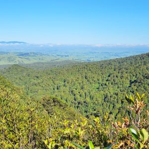
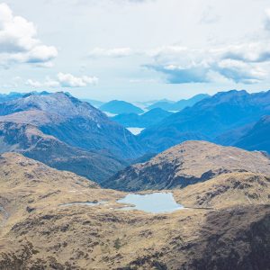
Mike and I were keen to reach the range flanks via this relatively new route and so headed out early one morning to see how the route shapes up. It’s a long drive up the Rakaia, on the southbank road, but one that is always enjoyable as you pass from the intensely cultivated lowlands to the rugged and often inhospitable mid-valley area beyond which the Southern Alps form a massive wall of rock and ice. The Palmer Range appears benign when contrasted against such a backdrop but is no less challenging in many respects, especially considering the 1300m climb from valley floor to range crest.
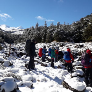
Low, thick, cloud greeted us as we parked the car and appeared to be set in for the day. Undaunted we hoisted our packs and headed up the ever-steepening spur on the Homestead Hill Easement.
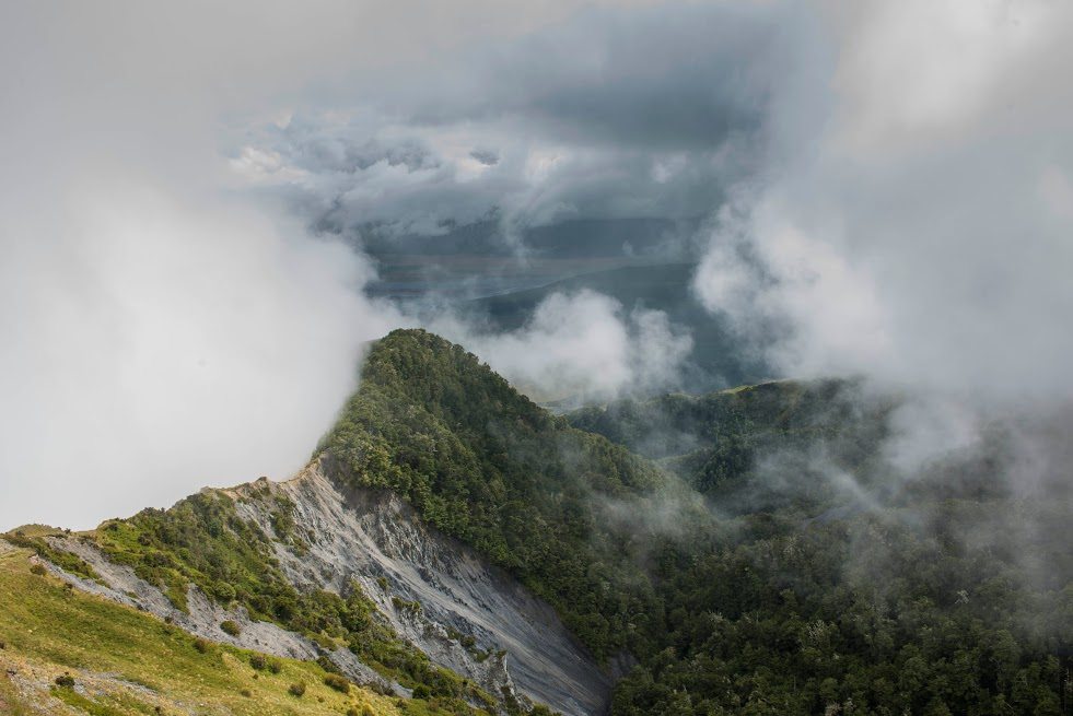
The easy angle of the spur slowly closed in as we climbed above the terraces over humpy tussock faces, passing through some access gates and then higher onto Homestead Hill itself at 1130m. The hill is an unimpressive feature when you are actually standing on it and as our view was almost nil, due to the low cloud, we headed on up through beech forest, along little tracks under the canopy, until we emerged at a razorback ridge which snaked away up the face. With a little care it can be traversed readily enough and soon broadens as the spur makes landfall on another sub-summit.
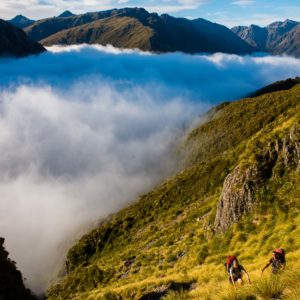
We cast around in the mist for a lead and eventually found the ridgeline running out to the east. By now the cloud had thinned a little and as we approached the edge of a large basin, the curtain of murk was ripped back to grant us a stunning perspective of Homestead Hill and the bush-filled gully to its east.
At this point we decided to pause for an hour to wait, hopefully, for the weather clear. But there wasn’t much improvement, in fact it started to rain – the threatening thunderheads we spied earlier were steadily making their way up the valley.
We reluctantly chose to pull the plug on this trip and headed down the now slippery snowgrass back to Homestead Hill and later out into the sun on the lower flanks of the spur.
The higher parts of the Palmer Range were still hidden by cloud so we devoted little time to chastening ourselves that we should have carried on. Homestead Hill and the route along the spur to the range crest would wait another day.