Iron Gate Hut, on the western side of Ruahine Forest Park, is a wee gem set beside the Oroua River. With the road end only an hour’s drive from Palmerston North, then an easy five-hour tramp to the hut, it’s a great overnight trip.
Having visited the hut twice before I felt it was an ideal place to take a friend who was relatively new to tramping.
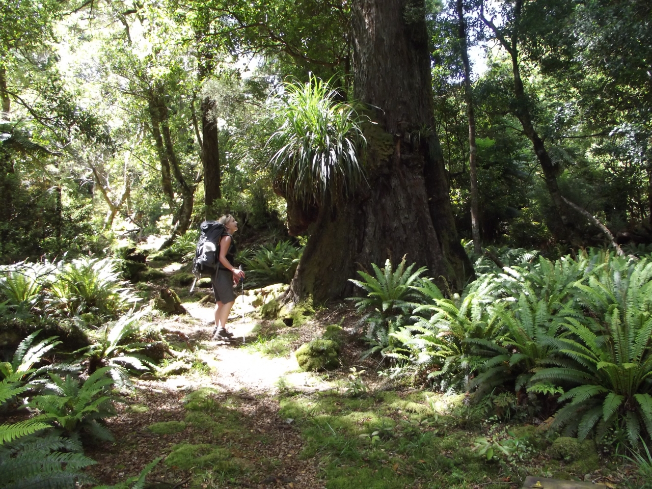
Enjoying the stunning late summer weather, we walked with our dogs through the wrought iron gates at the car park, headed down the hill and entered the bush. The initial forest is a lovely stand of beech and the track heads down to a bridge that crosses a deep gorge. Just up the hill from the bridge, a small track heads off to the left – a community project led by the adjoining landowner that takes trampers to the Iron Gates Gorge. Further on from the bridge is an intersection with a track heading down to a camping area beside the Oroua River. We passed this and within 40-minutes of leaving the car were at the smart Alice Nash Memorial Heritage Lodge, the local NZDA hut – a great hut to bring kids into for a night.
After noting our intentions in the hut book, we moved on. The vegetation was dry and crunchy underfoot, very different to my last visit in early November when all was moist and muddy. We passed numerous stoat traps that are checked monthly by a committed group of volunteers. This pest control project aims to protect the endangered whio (blue duck) in the Oroua Valley.
The track is pleasantly undulating and easy to follow, a mixture of clear patches and forest. Soon we reached Cumberfield Creek which we skipped across dry-footed and then stopped for a snack. I have seen this same creek a raging torrent, almost impassable.
Our first big uphill grunt started straight after the creek, a climb, scramble, clamber up a root-strewn slope using trees, branches and vines to assist. It was nice to get a bit of a sweat up and work a bit harder. The track continues at this higher level for a while and pleasant views down to the river can be enjoyed. Soon we descended and stayed just above the river for a while before eventually dropping to the riverbed for lunch in the sunshine.
With the river levels low, we decided to walk up the riverbed to avoid the next steep climb. Our boots quickly became sodden as we needed to cross the river repeatedly with the water at some crossings reaching mid-thigh. It was a great way to cool down though, and we passed several stunning swimming holes which our dogs made the most of.
At Tunipo Stream, we splashed up the stream to rejoin the track. Another climb from here then the track eased, becoming a combination of small ups and downs, and, as we got closer to the hut, long flat stretches of goblin-like forest beside the river.
After five hours of relaxed tramping we reached the hut, surprised to find we had it to ourselves. It was straight down to the river for a swim; very cold but very refreshing.
The next morning was beautiful, clear and cool. Feeling adventurous, we decided to follow the river from the hut back out to the car park. While thoroughly enjoyable, we found this a bit more time-consuming and tiring and after a few hours were ready to head back on to the track. Reaching our lunch spot of the previous day, we retraced our steps out past Alice Nash Memorial Heritage Lodge.
– Nina Mercer

34 years of inspiring New Zealanders to explore the outdoors. Don’t miss out — subscribe today.

Questions? Contact us


