Image of the April 2015 Wilderness Magazine Cover Read more from the
April 2015 Issue
Home / Articles / Wild Trips

Lake and alp views from Ben Ohau

Early morning light over Lake Ohau.
Distance
16.2km
Time
4-7hr
Grade
Easy
Access
Track starts at car park at Gretas Stream on Glen Lyon Rd, 20min from Twizel
Map
BZ15
GPX File
Greta Track (gpx, yo 59 KB)
Your device does not support GPX files. Please try a different device.
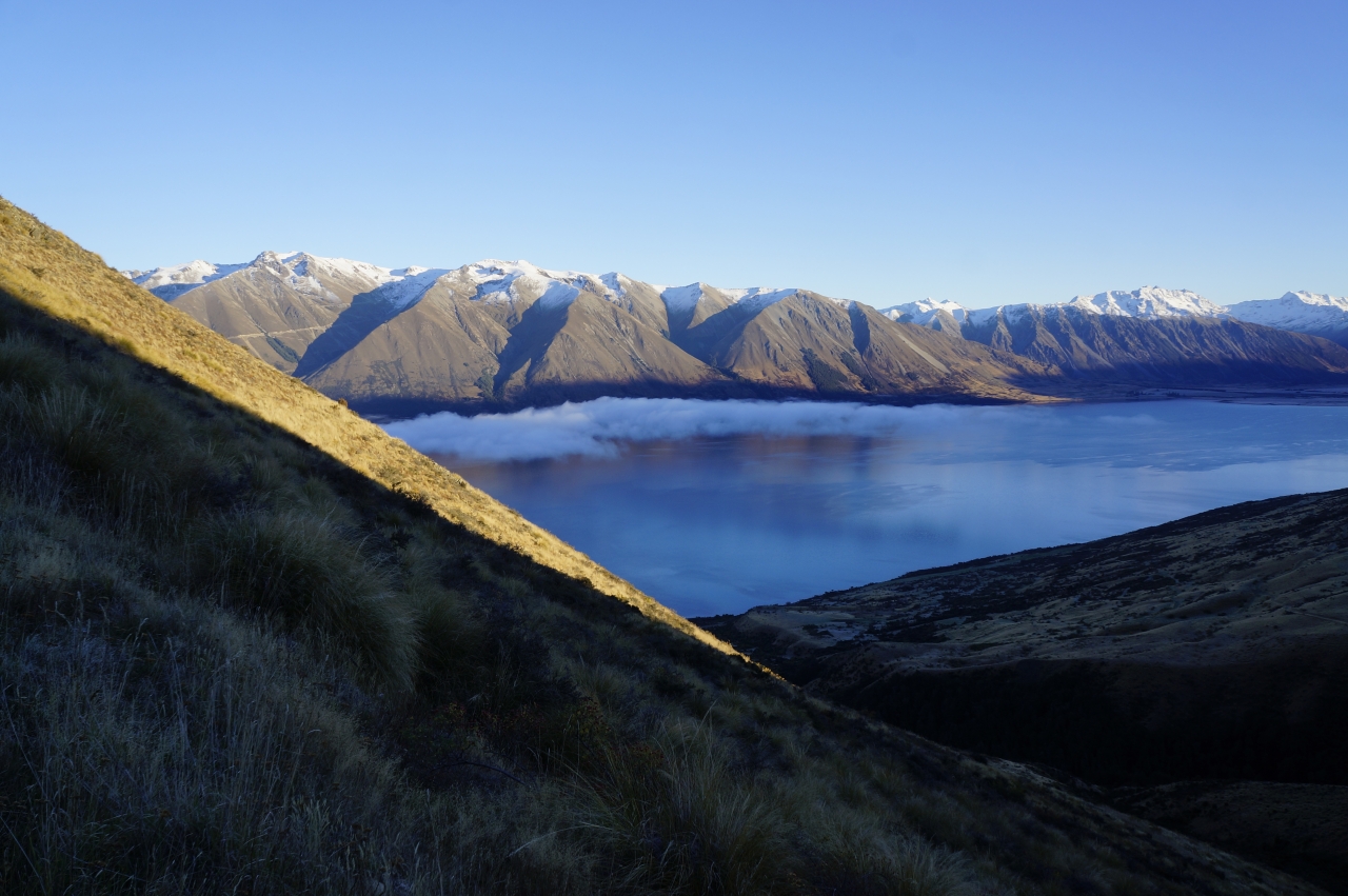
Greta Track, Ruataniwha Conservation Area

In gaelic, ‘Ben’ refers to a mountain, while in Maori ‘Ohau’ means a windy place; both translations seemed incorrect as I surveyed Ben Ohau from the eastern shore of Lake Ohau. Mist lay over the lake’s surface, confirming the air’s stillness. The mountains at the lake’s head and opposite shore put the Ben firmly in its place; it was a hill, although, to be fair, with 980m separating the summit from its base, it was a big one.

The route to the summit begins at a car park on the southern bank of Gretas Stream. Now part of the Ruataniwha Conservation Area, up to 2006 it was high country station land and there is evidence of this history. A few minutes from the lake, I came upon a derelict hut, dating from the 1890s. Today the hut is like something from a museum, while 100 years ago it would have been a welcome outpost offering respite in an unpopulated and sometimes harsh land.

From the old hut, the route turns south-east and follows a 4WD track that zigzags to near the top of Ben Ohau. Although not used by vehicles anymore, the track makes an excellent wide benched path as it switches back and forth up the north-west flank of the Ben. After 45min, the track crests the ridge and offers excellent views of the lake and surrounding mountains. One particularly obvious feature was the access road to the Lake Ohau ski field high in the Ohau Range across the lake.

From here, the track cuts one long unbroken line to the north ridge, crossing this just below the summit, which it skirts to continue east towards what was once grazing land at the head of Gretas Stream. While admiring the track’s strict adherence to practicality, I wasn’t going to emulate its failure to summit. So I left the track and walked 10min to the apex, where I was rewarded with breathtaking vistas of the Mackenzie Country.

I lingered while the sun climbed higher into the sky and the fog over the lake dissipated completely. The colours of the land sharpened, bringing the detail of the landscape into resolution. It was tempting to stay and watch the interplay of light and land, but I had a deadline so left the summit and rejoined the 4WD track.

The track descends sharply down a basin and follows a feeder stream of the Gretas through remnant stands of beech, manuka and totara. The ground was still white with frost and the air was cold enough to make me think twice about the first of two stream crossings. After nearly 4km there was a short climb to leave the feeder stream and gain a shoulder at about 700m on the true right of the stream. From there it was all downhill back to the lake’s edge, the mouth of Gretas Stream and my car.

– George Moran