Bannister Crossing, Tararua Forest Park

Read more from

Clearing mist reveals Arete Hut. Photo: Shaun Barnett/Black Robin Photography

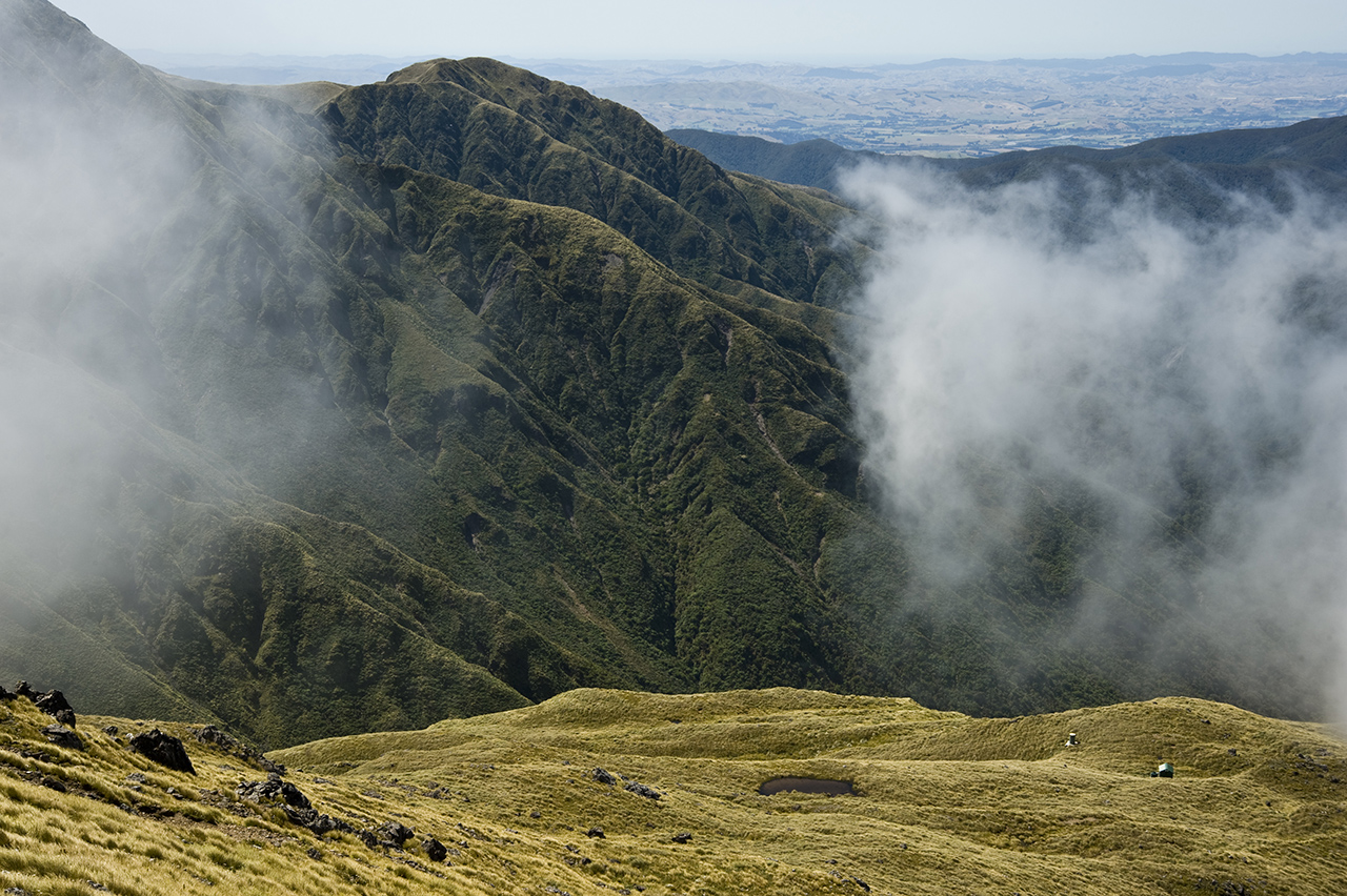
Bannister has the reputation of being among the most arduous of all the Tararua’s many ridges.

Starting from Kiriwhakapapa Campsite, the track starts out enclosed in forest; a world of green fern fronds and beech trees. But emerging at Blue Range Hut, two hours later, there are expansive views of the Waingawa and Ruamahanga rivers.

A further three hours past the hut, including a descent to the Waingawa River and another ascent towards Waingawa, it’s possible to camp at the bush edge.

The ridge between Waingawa (1423m) and Bannister (1537m) is traversed often enough for a ground trail to have formed, following the often-narrow ridge crest. After descending to a low dip, there is a small cheval-like section, with a sharp drop-off to the west. Beyond, negotiate a couple of steep knobs, later arriving at the crux of the route – a little rock-step with a short sequence of grade 8-10 rock climbing.

Bannister summit is a wonderfully narrow section of ridge – quite airy, but not requiring any serious scrambling. After another short ascent, arrive on the summit of Bannister itself.

The route carries on over a pair of peaks known as Twins. Old Tararua maps labelled them The Dromedaries – a far more appealing name for a double-humped peak.

From the Twins, aim for Arete (1505m) and keep an eye out for a prominent cairn that marks the sidle route to the two bunk Arete Hut.

The next day, climb over Arete and on to Pukematawai to join the track leading to Te Matawai Hut. In clear weather, there’s a grand vista of Mitre, Girdlestone, the Kings, Logan and the upper Waiohine Valley.

At Te Matawai Hut, there are views of Dundas and the western tops. A descent down the steep ‘Yeates 500’ track leads to South Ohau Hut. It’s a sublime spot, South Ohau Hut, very nicely located on a ledge above the river, surrounded by forest, but overlooking the valley and westering sun.

The last day is a leisurely splash down the narrow Ohau River.

Distance
33.1km
Total Ascent
3305m
Grade
Difficult
Time
3-4 days
Accom.
Blue Range Hut (4 bunks); Arete Hut (2 bunks); Te Matawai Hut (16 bunks); South Ohau Hut (10 bunks)
Access
From Kiriwhakapapa Campsite, at the end of Kiriwhakapapa Road and off SH2
Map
BN33, BN34

GPX File

Bannister Crossing (gpx, 360 KB)

GPX File

Your device does not support GPX files. Please try a different device.
Alistair Hall

About the author

Alistair Hall

More From Trips

More From Trips

Related Topics

Similar Articles

Kiwi hiker’s brush with grizzly bear caught on video

New less toxic stoat sausage bait results impress DOC

Great hikes

Lowry from Days Bay, East Harbour Regional Park

Ridge Track, Kaitoke Regional Park

McKerrow, Remutaka Forest Park

Trending Now
Subscribe!
Each issue of Wilderness celebrates Aotearoa’s great outdoors — written and photographed with care, not algorithms.Subscribe and help keep our wild stories alive.

Join Wilderness. You'll see more, do more and live more.

Already a subscriber?  to keep reading. Or…

34 years of inspiring New Zealanders to explore the outdoors. Don’t miss out — subscribe today.

Your subscriber-only benefits:

All this for as little as $6.75/month.

1

free articles left this month.

Already a subscriber? Login Now