Home / Trips / Auckland

Aotea Track, Great Barrier Island

On top of Mt Hobson. Photo: Andris Apse
Area
Great Barrier Island
Distance
25km
Time
11hr
Grade
Easy
Accom.
Kaiaraara Hut (serviced, 28 bunks); Mt Heale Hut (serviced, 20 bunks)
Access
From Auckland via plane or ferry. Track begins and ends on Whangaparapara Road with the entry and exit points a few kilometres apart
Map
AY34
GPX File
Aotea Track, Great Barrier Island (gpx, yo 37 KB)
Your device does not support GPX files. Please try a different device.

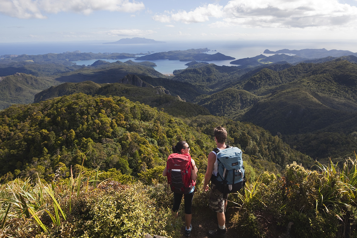
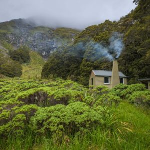
Tranquil harbours, white sand beaches and a rugged mountainous interior. These form the essence of Great Barrier Island, also known as Aotea by its original Maori inhabitants.

This route is described in the oppositie direction to that recommended by DOC.

The initial part of Aotea Track follows an old tramline which was constructed and operated by the Kauri Timber Company between 1925 and 1941. Logs reaching the end of this tramline were railed to Whangaparapara before being towed by steam tug to the KTC sawmills in Freemans Bay. The tramline is an easy uphill grade through bush which is dominated by large numbers of mature nikau palms before intersecting a forestry road which leads to Kaiaraara Hut.

The forestry road route is relatively uninspiring but does have two impressive side trips. One of these is the steep side trip to Maungapiko which gives outstanding views over the west coast of Great Barrier stretching away towards Little Barrier Island. The other leads to two massive kauri trees, remnants of the huge kauri forest that once existed here.

Kaiaraara Hut is located in the bush but is close to an inlet of Port Fitzroy Harbour.

An early highlight of the second day is the remains of New Zealand’s best preserved kauri driving dam. Built in the 1920s, this structure was used to send kauri logs crashing down to Port Fitzroy. The results of this process are still visible in the form of a sediment fan at the mouth of the stream; seen as you climb higher up the track.

Climbing higher brings spectacular views out towards the west coast with Little Barrier Island dominating the horizon. Staircases take over as you get nearer to the summit of Mt Hobson (627m) and become steeper and narrower the higher you climb. On the summit, a brisk westerly wind was offset by the warm sun and we enjoyed a leisurely lunch before descending and taking the turn-off to Mt Heale Hut.

Mt Heale Hut is perched at the head of a valley which falls away towards the west coast. The decks have been built with the views in mind and provide an ideal place to while away a few spare hours with a good book.

The highlights of the last day are the views out to the distant white sands of Medlands Beach followed later by the Kaitoke Hot Springs reached on a short diversion signposted from the main track.