
Pureora to Piropiro
The track starts from DOC’s Nga Haerenga campsite, which can be accessed from SH30 (Scotts Road). Beautifully graded single track greets your first pedal strokes and flows through a sliver of stunning podocarp forest full of bird life. It’s a remnant saved from the loggers after committed protests by the early conservation movement and now forms part of the Pikiariki Ecological Area. A short side trip heads to a restored bulldozer.
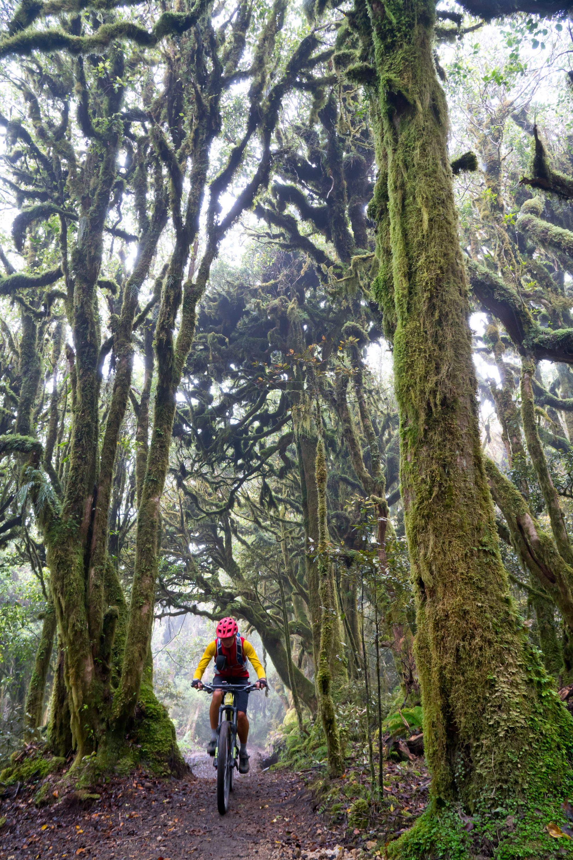
The trail eventually pops out of the bush and resumes climbing through a logged area with pockets of regenerating forest, heading towards the highest point of the track at 980m and a magical moss-coated cloud forest.
There is a shelter here and a little further on, a walking track veers east to the summit Mt Pureora (1390m). On a clear day, it’s a worthy side-trip offering expansive views south over the Hauhungaroa Range and beyond to the King Country and Lake Taupo.
The downhill to Piropiro Flats is legendary and, with the recent track upgrades and the profusion of suspension bridges, it’s hard to put a foot wrong. There’s a good spot to snack at Harrisons Creek after crossing two of these 100m-plus bridges. The first rider always gets a clear run but those following have to compensate for an ever-increasing sideways sway.
Piropiro Flats has become the halfway point on the trail, offering accommodation, food and a cold beer at either the recently built Timber Trail Lodge or 7km off-trail and along Kokomiko Road at the Black Fern Lodge. There’s also a DOC campsite here and shuttle access.
Piropiro to Ongarue
From Piropiro Flats, there is a mix of climbing and descending on old logging tracks and new single-trail before crossing the massive Maramataha Bridge, the country’s highest and longest suspension bridge. The track soon reaches the 1952 Tramway Terminus, the most northerly end of the old logging tramline.
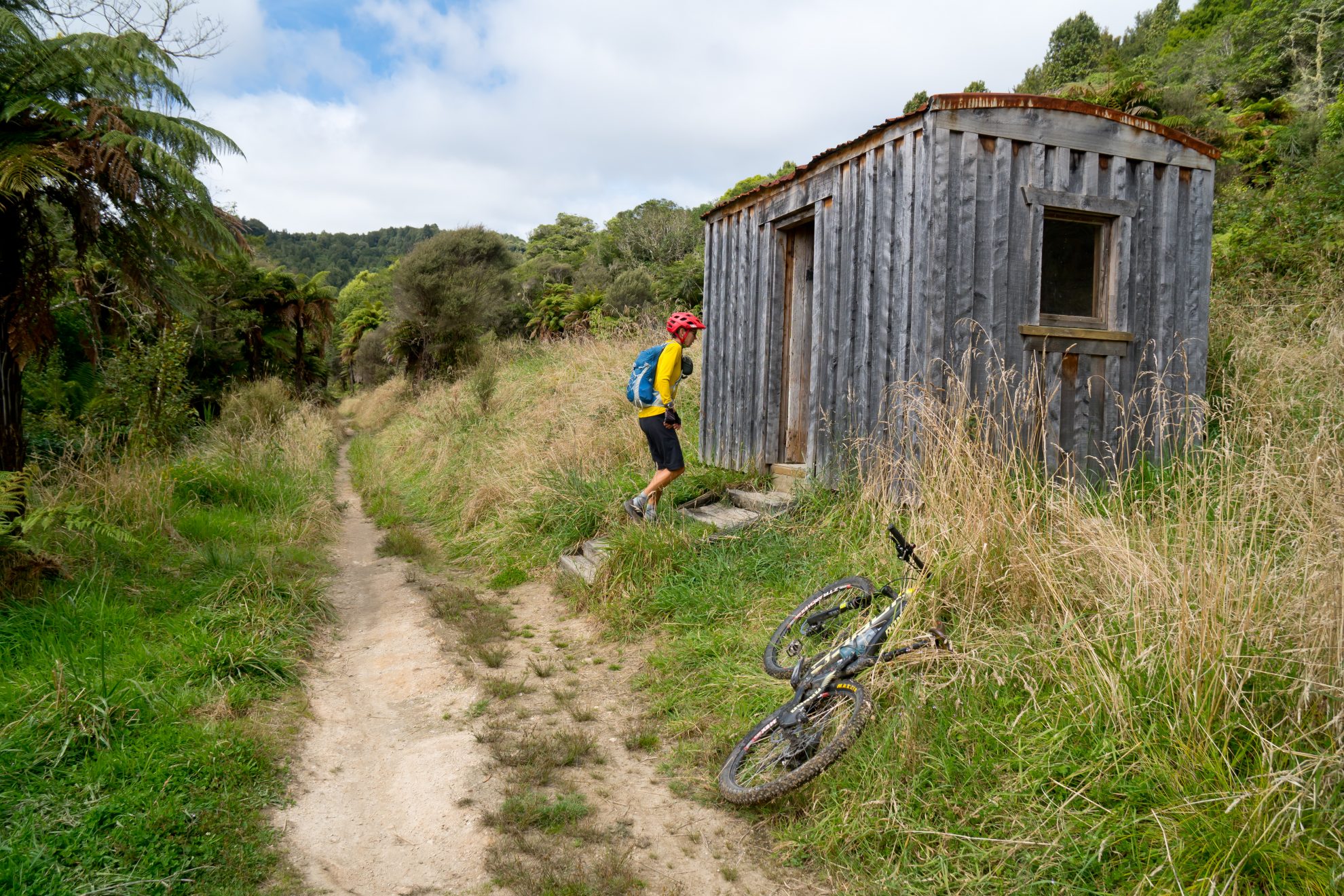
From there, it’s all gradually downhill following the rail bench for the most part as it winds along to Mystery Creek Triangle, through No.11 Camp which has a shelter and toilets and then onto No.10 Camp. The Mangatukutuku Bridge is the last of the eight suspension bridges on the trail and has several interpretive panels with old photos and text to really bring this section alive.
The surrounding bush, much of it re-growth, is coming along nicely and provides plenty of leaf litter to camouflage the recent track upgrades. The trail heads through a number of railway cuttings before descending the famous Ongarue Spiral, exiting 270-degrees later via a strategically-placed tunnel. Near the exit, a set of photos show an old steam locomotive negotiating the tight turns, wagons in tow.
The last section of downhill is a real blast, then the trail crosses a logging road and follows Mangakahu Stream on its true right bank, through picturesque farming country to the trail’s end at Ongarue.
If you’ve still got some fuel left in the tank, you can cruise the Ongarue Back Road for 26km to Taumarunui. A pleasant ride on a sunny day.


