

Section 1: Godley Cliffs
Distance: 16.1km | Time: 8–10.5hr
The trail begins at the top of the Christchurch Gondola, and this section goes anticlockwise to Scarborough Park, following the Crater Rim Walkway as far as Godley Head. The most striking part is the 360-degree views from the Crater Rim, where the feeling of being high above the city, with the Southern Alps to the west and Lyttelton Harbour to the south, is something I never tire of.
At Godley Head the trail winds through the restored battery compound and gun emplacements built in 1939 to defend the city during World War II. For an overnight stay there’s Awaroa Godley Head campsite, which has stunning ocean views.
From the defence battery I continue around the dramatic headlands to Taylors Mistake, a popular surf beach in a sheltered bay with volcanic black sand and historic baches.
The trail then skirts the cliffs to Sumner. With an elevation loss of 1245m and again of 864m, this first section is my favourite.
Section 2: Estuary Marshes
Distance: 19.8km | Time: 7hr
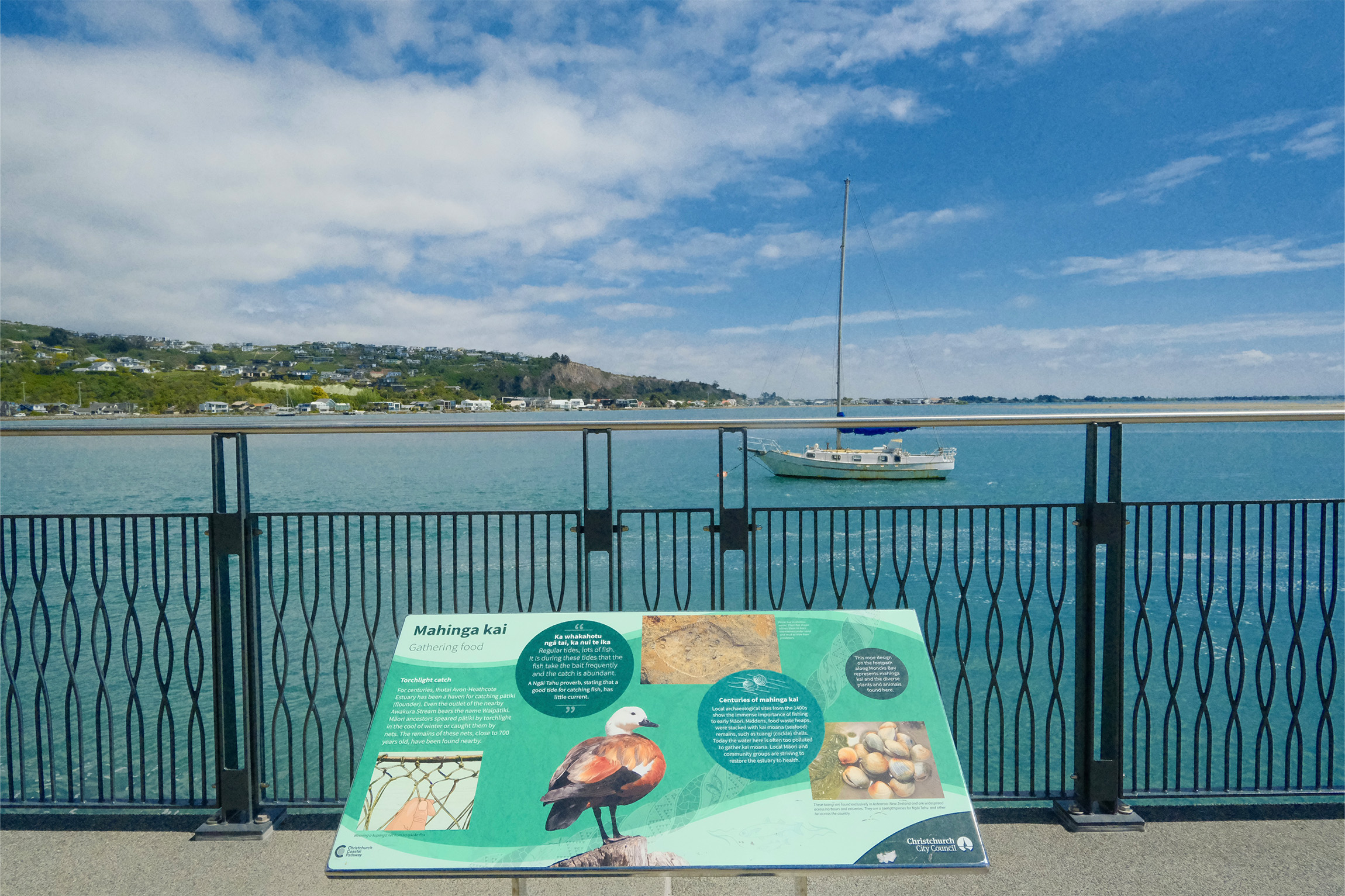
Starting in Sumner, this leg follows Te Ara Ihitai Christchurch Coastal Pathway. It draws over a million visitors annually and ranks as the city’s second-most popular attraction after the botanic gardens.
The trail continues past the estuary. According to Meurk, up to 113 species of birds grace this habitat, including the eastern bar-tailed godwit, which flies nonstop for 11,000km between Christchurch and Alaska – the longest migration of any bird.
“Along the entirety of the 360 Trail, there have been more than 135,000 observations of 5200 species [of both flora and fauna] recorded on the iNaturalistNZ app by walkers over the last few years within a kilometre buffer along the trail,” Meurk says.
From the estuary this section meanders through the green belt to the Red Zone and finishes at the Pages Road bridge in New Brighton.

Section 3: Dunes Wetlands
Distance: 15.9km | Time: 6–7hr
From Pages Road I follow the trail alongside Ōtākaro Avon River as it curves upstream through the Red Zone and conjoined Travis Wetland.
A memorable aspect of this section is the quiet moments of discovery – finding areas I don’t usually visit, like the wetland. Ōruapaeroa Travis Wetland has a profound impact, not only because of its ecological significance and richness but also because of its journey to becoming a natural heritage park.
Meurk tells me the area was initially designated for housing development, sparking one of Christchurch’s biggest conservation and environmental battles. After negotiations that continued from 1976 to 1996 between Christchurch City Council, Travis County Estates Ltd and community groups, the city council eventually purchased the land to preserve its ecological value.
The wetland was a significant mahinga kai for Māori and was known as Ōruapaeroa by Ngāi Tahu, who harvested tuna, fish and native plants there. A marae-shaped shelter at the wetland’s entrance contains information on the area’s cultural and ecological significance.
Exiting the wetlands, I enjoy a pleasant walk through a relatively new residential subdivision and into Bottle Lake Forest Park, which connects the wetlands with the dunes. The trail then merges with the Southern Pegasus Bay Track and the section culminates at Spencer Park. There’s a campground adjacent to the park.
Section 4: Brooklands Marsh
Distance: 10.3km | Time: 4–5hr
This short section runs from Seafield Park (near Spencer Park) to Whites Crossing at the Waimakariri River.
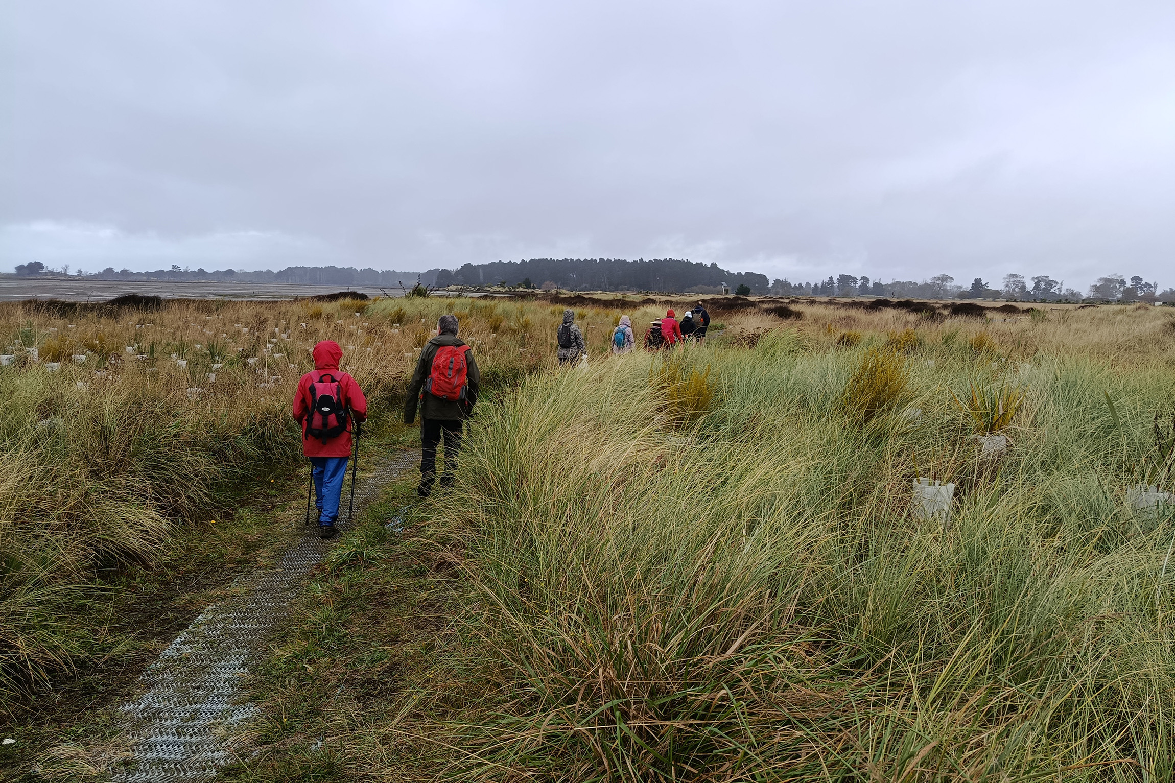
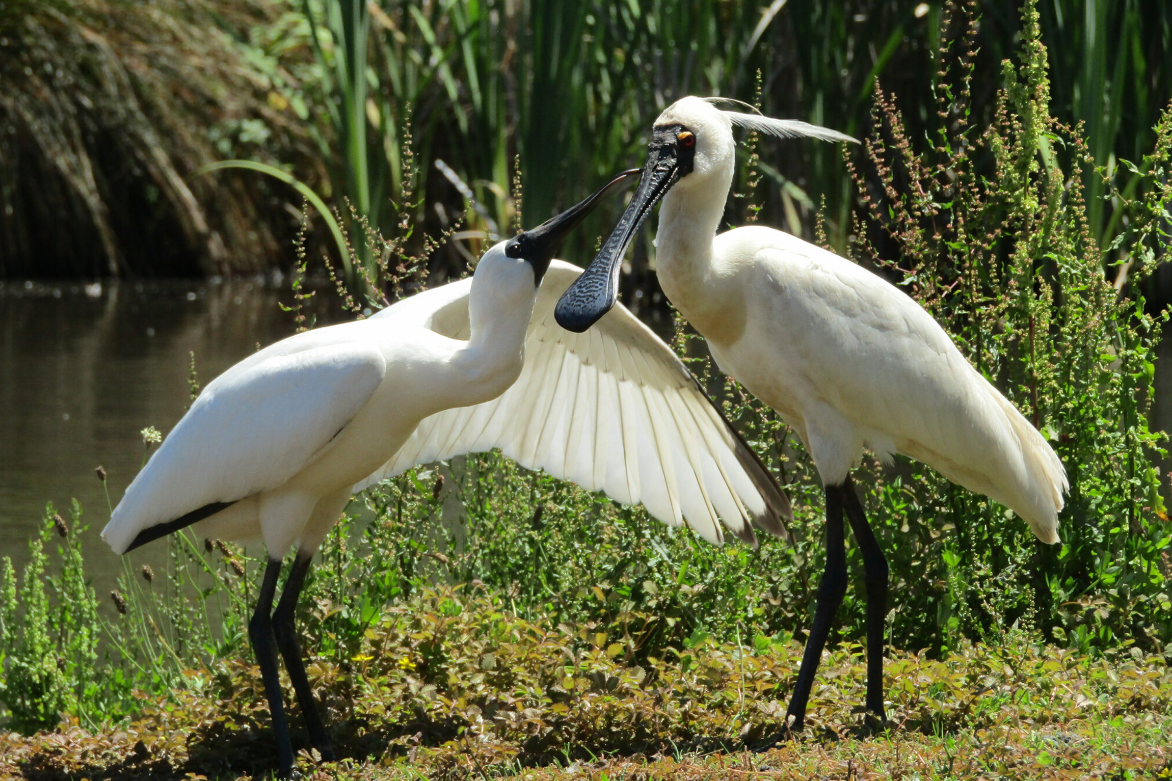
As I start on the Brooklands Lagoon Walk I am drawn to the calm, mirror-like waters at the junction of the Styx and Waimakariri rivers. Covering 270ha and 4.5km long, the lagoon is one of New Zealand’s few remaining natural wetlands (over 90 per cent have been drained or destroyed). The area is a vital sanctuary for 74 bird species.
I come across a group of cyclists, one of whom says he has walked and ridden the 360 Trail several times since discovering it five years earlier: “Each time, I’m always amazed to learn more about these natural attractions close to home,” he said.
Meurk tells me the trail’s popularity has grown – some people even run the whole thing in under 24 hours as a fundraiser. Due to city council restrictions, the trail cannot be promoted as a cycleway as some sections are on-road.
Section 5: Waimakariri Braids
Distance: 18.8km | Time: 7–8hr
This section stretches from Waimakariri River to McLeans Island and takes its name from the braided formation of the river’s wide shingle beds with interwoven channels. Braided rivers are globally rare and are mainly found in North America, the Himalaya and New Zealand’s South Island. Canterbury is considered a hot spot.
Given the flood-prone nature of this part of the waterway, the trail doesn’t follow the river’s edge. I can’t actually see Waimakariri River, either because the track runs along a stopbank away from it or because it is obscured by trees. Instead, I embark on an inland adventure on Templers Island Track, enjoying the lush regenerating native vegetation, and into McLeans Grasslands Reserve, where the dry grassland resembles a savannah dotted with kōwhai trees.
This section can be a bit dull, but plenty of signboards showcasing aerial views of the Waimakariri’s unique braids and biodiversity make each step an engaging exploration.

Section 6: Avonhead Gardens
Distance: 27.3km | Time: 8–9hr
McLeans Grasslands Reserve covers 154ha, nearly equal to Hagley Park’s 165ha, yet the two are worlds apart. This section starts here and finishes in Burnside.
As I stroll through the reserve a lively tapestry of sounds fills the air: dirt bikes roaring by, horses neighing in the distance, the whir of cyclists and the rhythmic tapping of runners and walkers.
This section also has the most kilometres of road walking and at one stage passes around Christchurch International Airport and along the state highway, requiring vigilance and the use of designated crossing points.
I continue into the suburbs, strolling through the University of Canterbury campus where I once studied and passing through Pūtaringamotu Riccarton Bush, a nationally significant heritage site of open parkland, ornate gardens and extensive native forest containing kahikatea, tōtara and mataī. These trees, some of which are up to 600 years old, are remnants of a podocarp forest that has existed for over 6000 years – the only such remnant in the Canterbury region.
Before European settlement, Pūtaringamotu was an essential source of food and timber for Māori, who produced carvings and waka from the rākau and preserved kererū and other birds.
The 12ha predator-proof reserve is used by DOC as a crèche for juvenile birds, including roroa great spotted kiwi. I find it baffling to walk through the tall kahikatea and realise I am only a few kilometres from Westgate Mall.
Section 7: Ōpāwaho Divide
Distance: 16.1km | Time: 6–7hr
This section runs from Riccarton Bush to Halswell Quarry Park and passes through commercial and industrial areas and reserves. Because it follows the city’s cycleways and an urban walkway through Seager Park and along the Nga Puna Wai Walkway, I cycle it, squeezing in a five-to-nine micro-adventure after a nine-to-five workday.
Within the concrete jungle, pockets of serenity make my ride enjoyable and easy to navigate as city roads link reserves and parks. Cycling through Canterbury Park I pause by the Wigram retention pond, which filters industrial runoff and, with its native plants, invites wildlife to thrive. I also stop by Westlake Reserve, which, with its expansive pond and swales, offers a modern approach to water management in this recent subdivision.

Section 8: Sugarloaf Hills
Distance:18.2km | Time: 10–12hr
Starting at Halswell Quarry, this section has the highest elevation gain (1476m) and a maximum altitude of 490m. It is one of my favourite sections.
Halswell Quarry was once the oldest continuously operating quarry in Australasia, used from the 1860s until 1990. High-quality fine-grained basaltic rock was quarried there, providing material for many buildings in Ōtautahi and Canterbury, where timber was not readily available. Today it’s a 55ha park with walks, wetlands and six sister city gardens.
From the quarry the trail ascends to airy tussock-covered hilltops via Kennedys Bush Track, then joins Summit Road before connecting to the Crater Rim Walkway.
Along the Crater Rim I enjoy the panoramas over Diamond Harbour, which are reminiscent of the first section.
With only a few kilometres left, I pass the Sign of the Kiwi and stand beneath the sign as a mark of completing the trail – well, almost.
As I near the end of my walk, a profound sense of gratitude fills me. Thanks to the trail, I have grown to appreciate my local area more than ever before and learned so much – historically, ecologically, architecturally and culturally.
Lyttelton Port comes into view, the clamour of industry drifting up to meet me. Cars whiz past and the gondola draws near, marking the completion of my Christchurch 360 Trail journey.

Navigating the trail
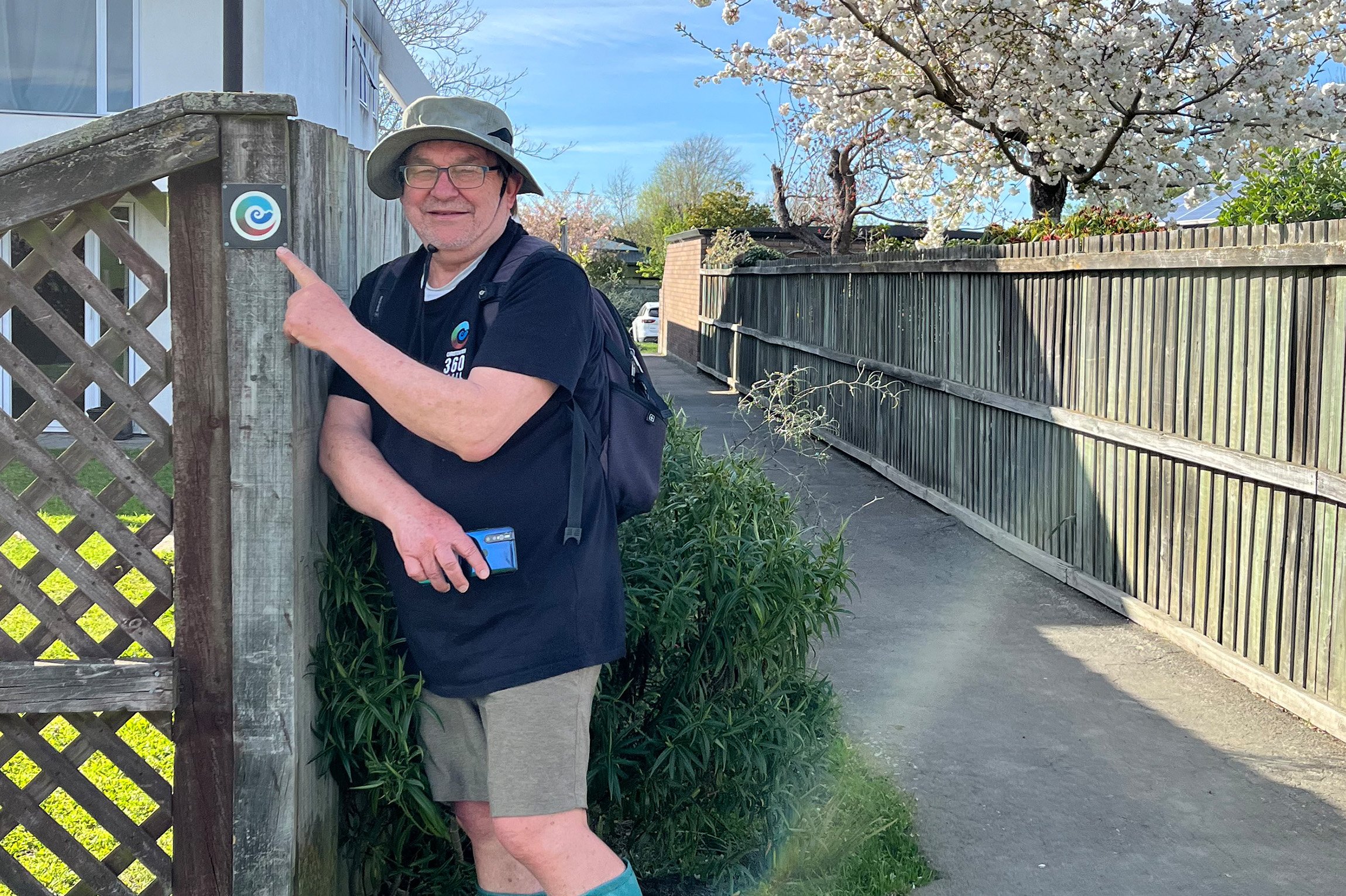
The trail is fairly well marked with a distinctive spiral logo. Thanks to volunteers, there are signs, arrows and even footpath stencils, and although I found it reasonably easy to follow the signs on existing walkways, navigating some urban sections was challenging at times. Check the trail’s website for maps and route directions (GPX files can be downloaded).
The entire trail can be completed in one trip, with two campgrounds and accommodation options along the urban sections. It can be cycled but is skill-dependent, especially on steeper sections such as the Godley Cliffs and Sugarloaf Hills. You can also bus from the central city to the start.


