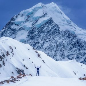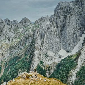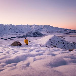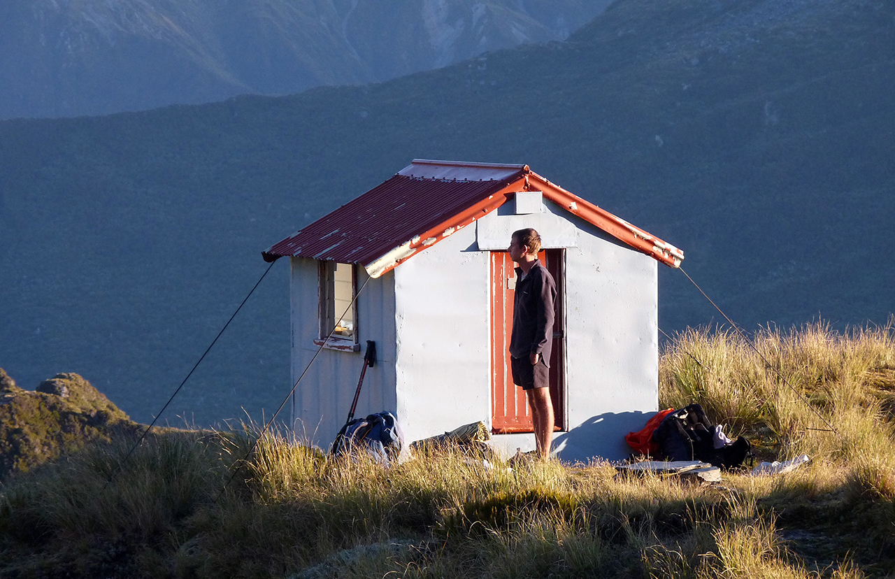
Take the steep track to the top of Mt Kerr (1438m) before traversing 3km of ridge top to Top Olderog Bivvy. Crampons and ice axes required in winter and good route finding skills are nessary.
DOC no longer maintains the route to Top Olderog Biv, though it does receive some maintenance on a sporadic basis by Permolat, a volunteer ‘remote huts’ group based on the West Coast.


34 years of inspiring New Zealanders to explore the outdoors. Don’t miss out — subscribe today.

Questions? Contact us