Image of the November 2016 Wilderness Magazine Cover Read more from the
November 2016 Issue
Home / Trips / Northland

Cape Brett Hut, Northland

Cape Brett Hut was once the lighthouse keeper’s home. Photo: Meghan Walker
Area
Cape Brett Track
Distance
16.3km
Total Ascent
1213m
Time
6-8hr to hut
Grade
Moderate
Accom.
Cape Brett Hut ($15, 23 bunks)
Access
Drive to the Rawhiti Road end; the track begins at Oke Bay
Map
AV30
GPX File
cape-brett-hut-northland (gpx, yo 33 KB)
Your device does not support GPX files. Please try a different device.
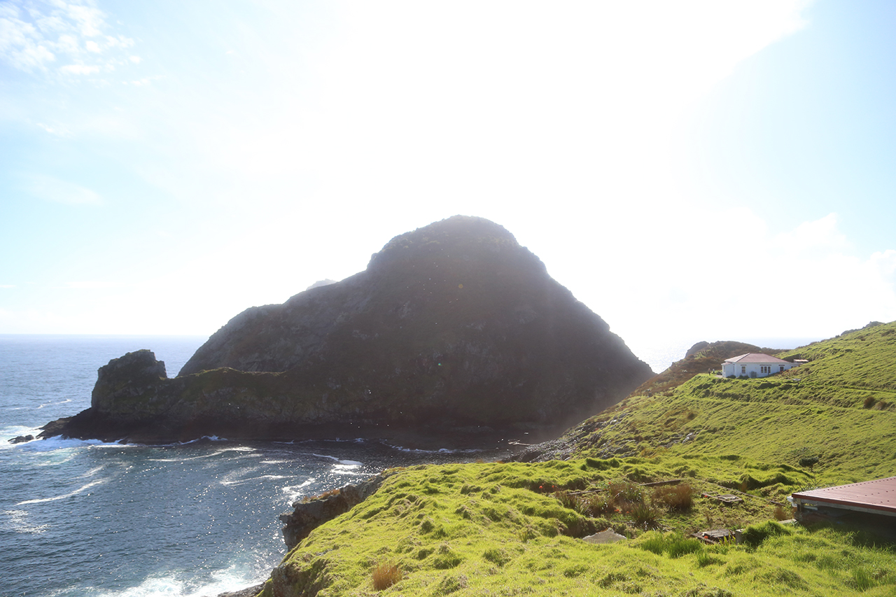
With its dramatic views, wind-swept cliffs, and rugged tracks, Cape Brett Peninsula is an escapist’s dream tramp. Or, for a group of nine-to-fivers from Auckland, it’s the perfect getaway for the weekend warrior.

The launching point for this Northland track is Te Rawhiti, just 30km from Russell. Many do the tramp in one of two ways; either walk in and get a water taxi back, or the opposite – which is more popular – taxi in and walk back with lighter packs. We opted for the former. Hardier trampers will walk both ways, a notion that few in our group felt was necessary.

The night before we started, we piled into the Kaingahoa Marae’s 100-year-old school house in Rawhiti, a modest structure with a fully-equipped kitchen, large sitting room, and a toilet block out the back. Our beds consisted of foam mattresses on the ground, laid side-by-side in the large meeting room of the house.The beachside property also has a large field for camping, and offers parking for those who wish to leave their car at the marae while doing the walk.

The next morning, we set out into a steady drizzle, walking along the road to the start of the 16km Cape Brett Track.

The cape is steeped in history. In 1908, a lighthouse and three homes were built at the end of the cape, where a succession of lighthouse keepers’ families had isolated but fascinating lives. In addition to manning the lighthouse, their daily duties included sending weather reports to the Meteorological Office. The settlement was staffed for 70 years until, in 1978, an automated light was installed. More than 100 keepers looked after the station before it was decommissioned. DOC took over the management of the lighthouse in 2005.

The peninsula is now co-managed by the Te Rawhiti 3B2 Trust, DOC, and Cape Brett Walkways. The track from Te Rawhiti to Deep Water Cove is leased from the trust by Cape Brett Walkways and there is a $30 fee ($15 for children) to walk it to Deep Water Cove. In addition to kilometre markers, there are several small shelters along the route, including a fully enclosed lunch spot around the 8km mark. Gary Hooson from Cape Brett Walkways says there are plans to build a hut at Deep Water Cove so trampers can break the tramp into two days.

DOC manages the final section of track, from Deep Water Cove to the hut. There are ongoing predator control programmes on the peninsula; an electric fence helps keep the outer reaches of the peninsula virtually pest-free.

Our group trickled into a shelter near the halfway mark in the pouring rain, grateful for the table, chairs and floor space to shed our packs and soaking raincoats.

The rain miraculously ceased after our lunch break, despite the predicted steady downpour and thunderstorms. Once the track enters the more rugged, cliff-laden section of the peninsula, sweeping views out to sea offer moments of solace from the demanding uphill climbs and slippery descents.

DOC deems this track ‘advanced’, and its elevation profile reveals why: while it’s well-formed, there are few stretches of level ground. The scramble to the last summit is particularly steep, but the first views of the lighthouse provide just enough motivation to tumble down the final steps to the picturesque Cape Brett Hut.

The hut is nestled on a bed of grass just metres from the jagged cliffs of the cape’s final reaches. A former lighthouse keeper’s abode, the hut is full of character. Hardwood floors fill the interior and broad windows peer out to sea.

On our return day – by boat – we were greeted with unexpected and brilliant sunshine, and we had a leisurely morning exploring the seal-laden shores and taking photos. It’s a magical location, with lush green hills framed by breathtakingly blue sea, marked by monolithic rocks jutting out from impossibly jagged shorelines. The Hole in the Rock, or Motukokako Island, stands just beyond the end of the cape, and several boat tours cruised by while we were combing the grass trails around the hut.

Our water taxi arrived at 11am. On days with large swell or poor weather, pickups are made at Deep Water Cove, a more protected inlet two-hour’s walk back down the track. But, the fine weather allowed us a seamless hut pickup, and the skipper gave us a tour of the Hole in the Rock before heading back to Rawhiti.

Further information Kaingahoa Marae is located at 243 Rawhiti Road; call Margaret (027 348 6792) to book a spot in the old school house or campground. The Bay of Islands Water Taxi (0800 387 892) offers one-way or round-trip options from Rawhiti to Cape Brett Hut and Deep Water Cove.