Out the back of the Rakaia Gorge in central Canterbury, where the river broadens into a large floodplain and the foothill ranges fall back, is a relatively new accessway onto the south-eastern end of the Big Ben Range and Big Ben, a large rounded 1416m summit.
It’s known as the Dry Acheron Track and its formation through private land to reach the toe of the range provides some great opportunities for hikes in a remarkable setting.
Head through the lower Dry Acheron Stream, a very attractive stream which flows through a series of mini-gorges, open space and terraces as it drains the Big Ben Range.
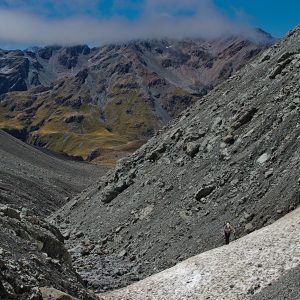
From the base of Big Ben, a rough trail climbs the face, which is poled to make life a little easier. There’s a very pleasant plateau at around 1000m, where a small knoll offers sweeping views of the Rakaia Valley, and a place to rest. The view spans Mt Hutt, up the Rakaia to the Main Divide, over to Lake Coleridge and into the Wilberforce.
After a false summit, there’s one final long easy slope to the range crest and Big Ben.
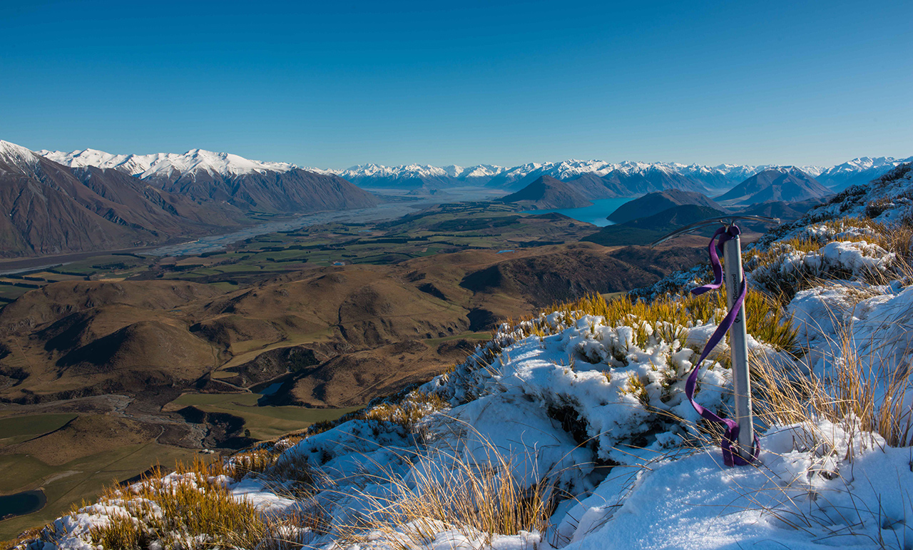
Like its name, the view from the summit is big and covers much of the Canterbury Plains, all of the Rakaia, Coleridge and Wilberforce basins and the Big Ben Range which rolls away to the north-west like a frozen wave.
The jumbled topography of the Lake Coleridge Basin is fascinating from here, with numerous isolated triangular hillocks jostled for space amid the tawny downs; appearing like a giant’s army preparing for battle.


34 years of inspiring New Zealanders to explore the outdoors. Don’t miss out — subscribe today.

Questions? Contact us