NOTE: this track has suffered storm damage and on April 21, 2017, was closed until further notice. Check its condition with DOC before attempting this walk.
Since the once neglected Hakarimata Walkway joined the Te Araroa Trail, it’s become a far cry from the rough reputation it once had, though the distance between track ends has not decreased, so a car parked either end is ideal.
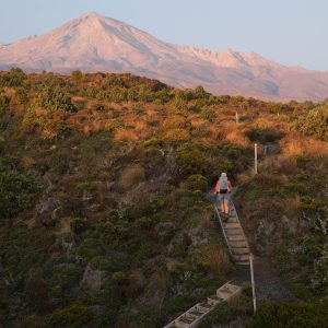
Though the range has a high point of just 374m, the way to the range top is via lengthy stretches of steps, regardless of which end you start.
Starting from the northern end, follow the track for around 40 minutes, when you come to an area that provides views north to the giant chimney stacks of Huntly power station and the meandering Waikato River.
This viewing area also marks the end of the steps. From here on, the walkway reverts to a tramping track. The brown, leaf-littered path cuts a thin line through the greenery, and tree roots make the perfect substitution for handmade steps.
There are occasional views through the bush, but you,re mostly enveloped in its cool shade.
The range undulates between 300m and 374m for most of its length. At Hakarimata, the 374m highpoint, is a tall viewing platform which provides views in all directions, the best being back along the range, from whence you came, and to the east over Ngaruawahia and beyond.
From the viewing tower, the trail heads down, very steeply in places, before hitting the southern steps, speeding the descent to the base of the range.
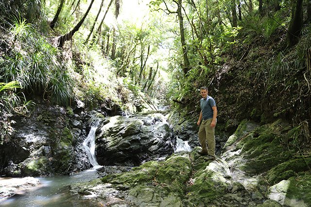
Just before emerging near the road and the Hakarimata Rail Trail, which takes you back to your car, a short side track leads to a wonderful cascade where shaded pools invite swimmers and water tumbles through a gorge which can be easily climbed.
It’s a highlight of the walk and worth the very short diversion.


Already a subscriber? Log in
Subscribe to read this article immediately and unlock exclusive 10-15% discounts at NZ’s best outdoor stores.
Cancel anytime.

Questions? Contact us