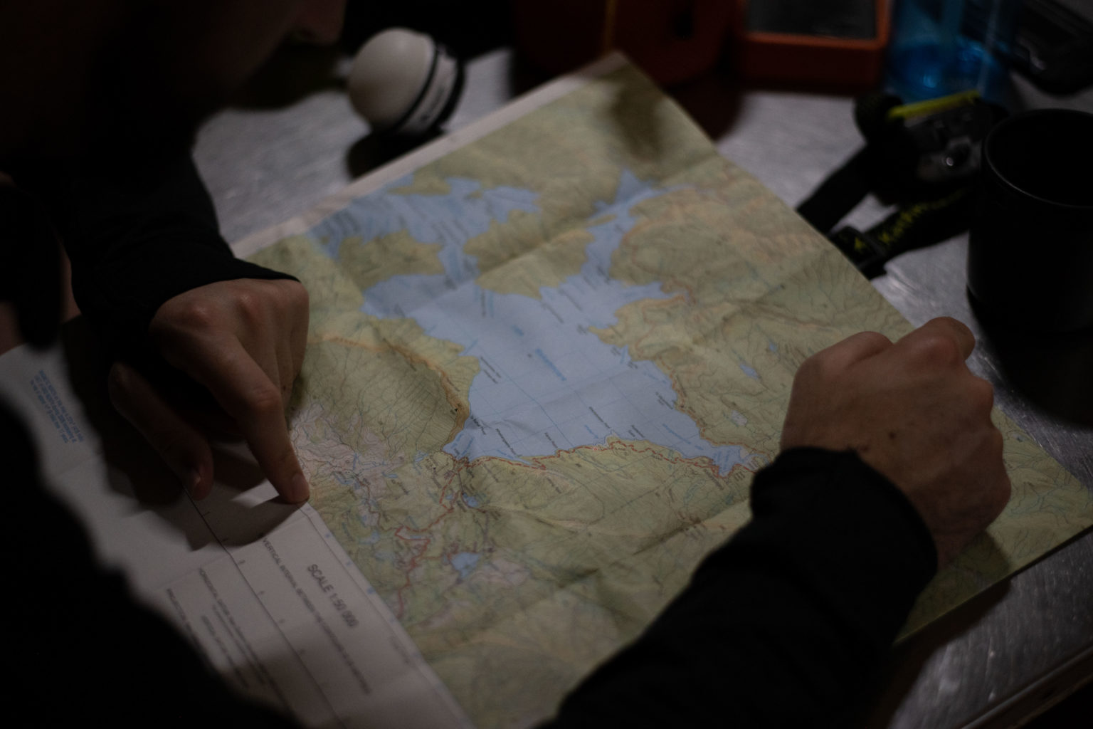
When studying the map before departure, take the time to identify escape routes. You might need one when a change of plan is required.
Many things – weather, river levels, injury – can force a change of plan. You may need to consider going back, staying put or changing your route. Some information is difficult or impossible to access while on the trip, but if you’ve considered your options before leaving home, this decision-making will be easier when the time comes.
Formal tracks
The easiest alternative routes to identify are tracks marked on a map. However, don’t assume that because a track is marked it will still be there or open for public use. It may be a farm or forestry track, or may pass through farmland and require permission.
Do some homework on the tracks you might want to use as escape routes. Searching the name of a track online may yield information, as may the DOC or Walking Access Commission Herenga ā Nuku Aotearoa websites.
If a track or access to it requires permission, you could seek that in advance, just in case.
Informal or old tracks
Hunters, predator trappers and others sometimes create informal tracks or use old tracks that are no longer officially marked and maintained. Some will be in good condition and well marked; others may have disappeared or have few trail markers.
If you plan to use one of these as an escape route, find out about the condition of the track and ease of navigation. This may require local knowledge, so talk to someone who knows the area.
Spurs and creeks
A spur is a ‘hump’ of land that lies between two creeks running down a hillside. Spurs lead to a stream or river valley. The line of the spur often makes a natural route from the tops to the valley below. Study the contour lines on the map to get an idea of steepness, but remember, a map won’t always give you all the information you need. Beware of short steep sections: there may be an impassable small cliff or bluff. It is often steeper at the toe of the spur.
Creeks, streams and rivers can be escape routes if rain is not likely to cause them to rise. However, they may be choked with debris, or have impassable rocks, waterfalls and other obstacles requiring energy-sapping detours.
Check local knowledge, trip reports and blogs. You don’t want to set off on an escape route only to find it impassable.
Decision-making information
When making a decision, good information is needed to compare your options. This includes track or route conditions, the speed or ease of travel, and potential hazards. What effect will the weather have? Are there reasonable camping spots along the way? Where will you end up? It’s all very well getting ‘out’, but finding yourself on a 20km stretch of closed road or one with zero traffic is not ideal.
Heather Grady is an instructor with Outdoor Training New Zealand