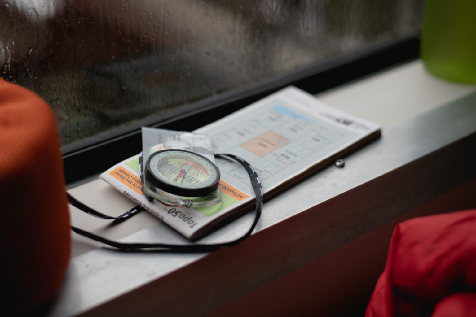
A map is a pivotal tool that should be consulted for every trip, no matter its duration.
A topographical map contains all the information you need to plan and execute your trip.
What is the trip like?
When considering a trip, take a look at the map to get an idea of what the trip will be like. How long is it? Is it a round trip or there and back? Are there climbs, up or down, steep or gradual? Are there river or stream crossings, bridged or unbridged? Is it in the bush, or open, through farm, forestry or along the tops? Will you be near a river or water source? Is it on a 4WD track or walking track? All this helps you decide if it’s the type of trip you want to do.
Hazards you will encounter
Some hazards to look for are unbridged river or stream crossings, slips near bluffs, in a river valley, along beaches or along the tops. Consider the hazards alongside forecasted weather conditions, your skills and gear. Is this the trip for you? If so, is this the right time to attempt it?
Alternative routes
Look for alternative routes if conditions require you to reconsider your plan. Are there bridges you could walk to? If there are other tracks, where do they go and what are they like? Are there other road exits? If so, how far away are they and how do you get there? Knowing these in advance will make decision-making easier if, for example, you encounter a hazard, conditions change or someone is injured.
How to get there?
Many searches have occurred because people started on the wrong track and never reached their destination. Is the start of the track at the road end, or to which side of the road? If there are multiple tracks leading off the car park how will you know which one to take? Sometimes track signs are misleading. The map can also indicate if it is a sealed, metalled or 4WD road to the track start.
Rough plan
A map can help create a rough plan of a trip in your mind. This might go something like: ‘We will go through a farm for about 10 minutes, once in the bush we’ll be beside the river for about half an hour before climbing gradually. Near the top, the track passes through a forestry block along a 4WD track that follows the ridge. After about 10 minutes there is a junction where we will take the left fork before descending steeply on a walking track in the bush to arrive back at the car park.’
Having that plan in your head will provide a signal to recheck if something happens that doesn’t fit the plan. Why am I still on a 4WD track in pine forest on the ridge 30 minutes after reaching the top? Perhaps I have missed the turnoff?
Navigation
Take the map with you and consult it as you go. Check it whenever there is a junction or when you take a break. Does the terrain and features fit with what the map shows?
Lost
If you become lost, a map can help you find your way. Look around and think about what’s been travelled through. Use that information to help identify where you might be and how you might get back on track. Make a plan to get back on track with a definite endpoint in mind. If you saw a marker 10min ago, go back for no more than 15min. If that doesn’t work, return to where you realised you were lost. That way you are never more than 10min from the last marker you saw.
You might try other plans, but each time come back to the same point if the plan fails. When you run out of plans, stay where you are and only move if needed for safety or water.