Image of the April 2016 Wilderness Magazine Cover Read more from the
April 2016 Issue
Home / Articles / Wild Trips

Big day out

The long ridge extending in the foreground from Little with Middle and then Mt Peel further in the distance. Photo: Lindsay Williams
Distance
10.7km
Total Ascent
1691m
Time
Car Park to Little Mt Peel, 2-2.5hr; Little Mt Peel to Mt Peel, 3hr; Mt Peel to Car park, 4-5hr
Grade
Moderate
Access
Turn-off SH 79 north of Geraldine to Peel Forest. First turn left after the Peel Forest store leads to Blandswood. Veer right before the bridge and park in the obvious area at the start of a steep shingle road. Track starts approximately 400m up at the road end
Map
J37

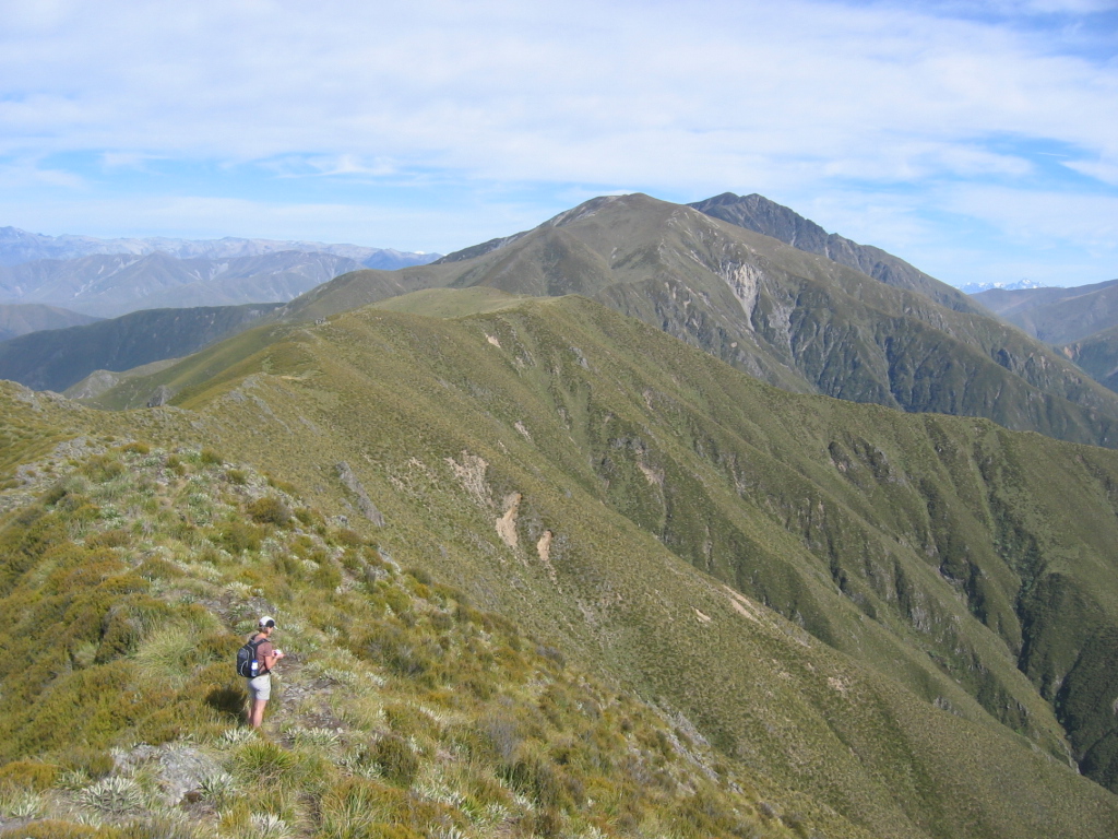
Mt Peel, Peel Forest Park, Canterbury

Mount Peel dominates the distant view from our Timaru living room window and is one we have always wanted to climb.

Locally, the mountain is talked about as being three parts, namely Little, Middle and Big. Little is well-known to many visitors to Peel Forest but Middle and Big are less frequently climbed and require greater resolve and fitness. They also fall outside the DOC administered Peel Forest Park and follow a largely unmarked route.

There is a short but steep walk up a metal road from the Blandswood Road car park to the start of Deer Spur Track.

The walk up Deer Spur is relatively straightforward, and dry conditions meant the track provided good footing and fast travel. There are some steeper sections, but generally the track is well maintained, well used and easy to ascend. We arrived at Tristram Harper Memorial Hut just below the summit in about two hours.

The hut is actually a shelter, providing a toilet, foldaway table and two long benches without mattresses, but easily accommodates four. There is a rainwater tank, but it can empty out in dry conditions.

From Little Mt Peel, we gained the ridge line, which extended some distance ahead to the higher ground of both Middle Mt Peel and Mt Peel. This is an unmarked route, but we found it provided relatively easy walking, though we did regret leaving our gaiters behind – the scrub and occasional Spaniard caressed our legs in more than a few places.

Approaching the first big grunt up to Middle, we stashed two full water bottles in shaded bush beside a rocky outcrop. The track expanded into a multi-choice route and we found the best way was toward some waratahs and cairns, marking the start of a sidle track around some of the higher ground on Middle. Keeping a close eye on clouds billowing up the north slope, we decided to sidle upward and over the higher points of Middle at the western end and found a good track on the ridge. The path to Mt Peel’s summit is easy to follow, and a couple of route choices near the top both lead to it. It’s not technical and anyone with good fitness should safely enjoy this ascent.

The final scramble over and around some outcrop rocks on the summit ridge was a delight. Even the presence of a sturdy cell phone tower, complete with a communications hut and concrete pad, could not diminish our sense of achievement and elation at making it to the top.

The cloud had all but evaporated, and laid out before us was a breathtaking panorama. Views to the west included a stunning line up in the Southern Alps commencing with Mt Cook to the left of the distant view. Looking east, the braided Rangitata and Rakaia rivers were dominant as they wound their way through the seemingly endless Canterbury Plains to the ocean.

The return tramp was pleasant, albeit with some sharp but short uphills.

Mount Peel is a highly recommended big day out experience in good weather. You will be rewarded with outstanding views and plenty of healthy exercise.

– Lindsay Williams