
On the Boulder Hill farm track, we headed over grassy and exposed slopes. The route drops enthusiastically into a series of dry stream gullies only to climb back out for the next set. Sheep and cattle randomly dot the landscape with hardly a tree or shrub to impede Wellington’s windy reputation. We booked the right weather: sunny and a light breeze to keep us cool, which exposed outstanding views of Wellington Harbour, the city and suburbs. It’s an interesting scene and far more three dimensional than looking across our home town of Christchurch from the Port Hills.
A final long climb took us to the Belmont Farm Hub and on the way we marvelled at the plethora of striking monolithic Second World War magazines. Their weathered concrete construction now open to the elements and making ideal farm storage and stock shelters. The bullets, bombs and incendiaries just a fleeting memory.
The structures form a village of random dwellings marching up the ridges and gullies. We stopped to inspect one. Its sun-drenched concrete wall made a good backrest at lunchtime.
From the Farm Hub, the track climbs to the Airstrip and Gas Station, a hydrocarbons supply pipeline from the Hutt Valley to Porirua, at the very top of the farm. We rode over Gasoline Ridge to Round Knob at 410m. This is the closest point to the Transmission Gully mega motorway. The track is part of the Dress Circle trail that curves around to Cannons Head and then on to Belmont Trig at 456m, the highest point of the ride. It’s a great bit of trail, almost single track, that traverses gradually along the 400m contour.
From the trig, an enjoyable descent leads to the famous Baked Beans Bend and onto Korokoro Forks through a sea of regenerating natives and bird song.
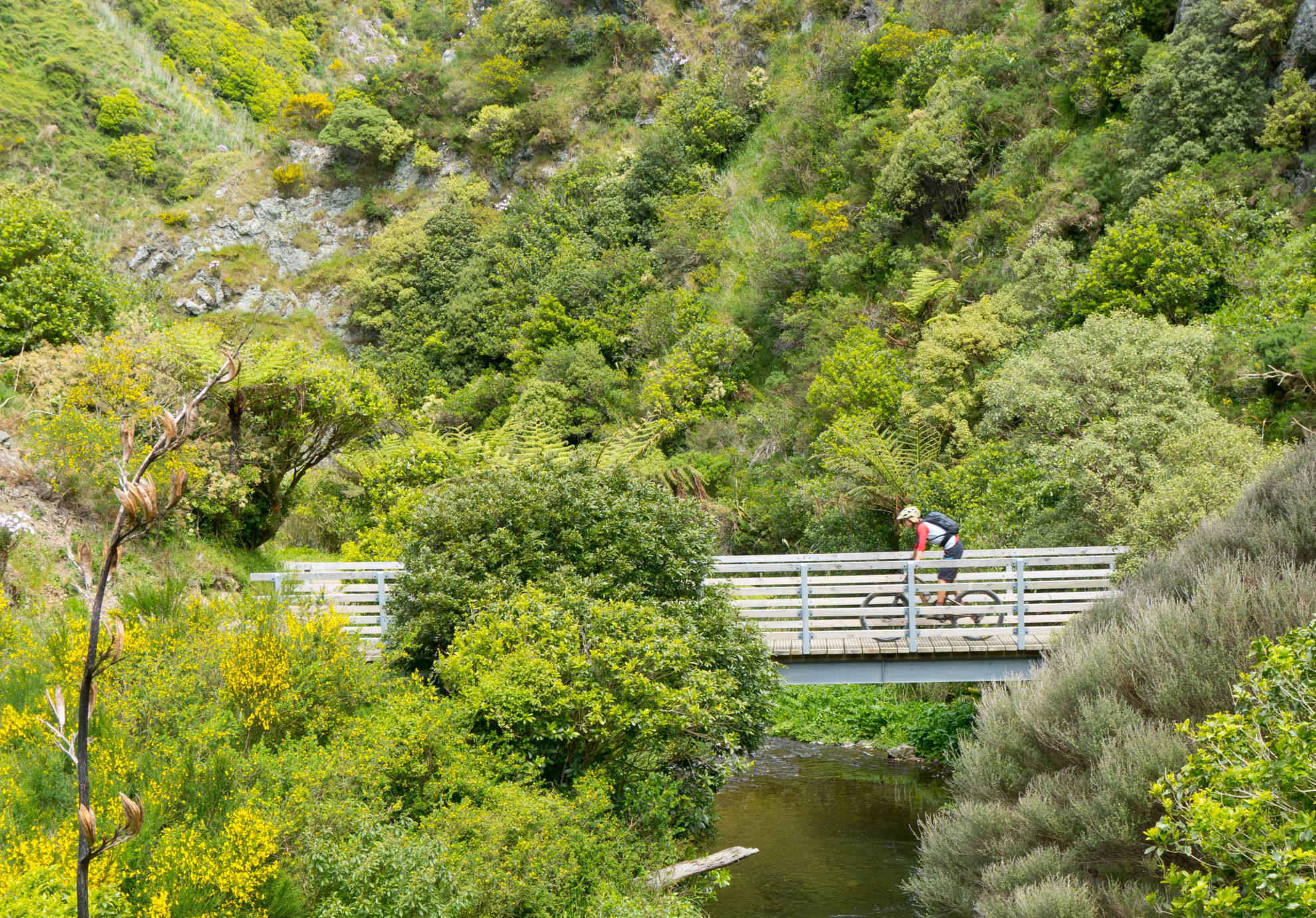
From the forks, we continued downstream on the smooth Korokoro Stream Track to the tiny Korokoro weir and old water supply pipeline. Tall toi toi and flowering hebes marked the route. More easy flowing trail led us into industrial suburbia and onto Pito-One Road at the very bottom of the hill.
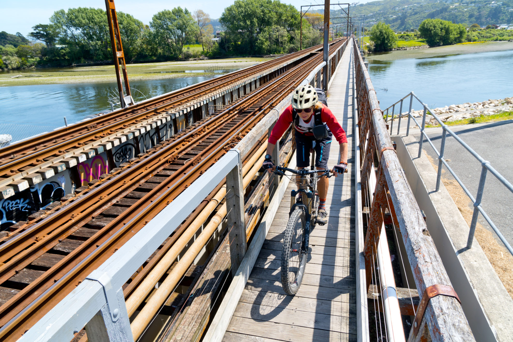
With town map in hand, we went right on Pito-One Road to cross SH2 on the pedestrian rail overpass. We then cycled east and north on a number of streets to cross the Hutt River on another pedestrian overpass. Finally, we rode the Hutt River Trail nearly all the way back to the start point at Dry Creek. It’s a nice peddle offering a good look around the back-blocks of Lower Hutt.
It felt like a big day out, but with so much to see it may have just been vista overload.


